Catalog Archive
Auction 202, Lot 613

"Karte von dem Groessten Theil des Landes Jemen Imame, Kaukeban & &...", Schraembl, Franz Anton
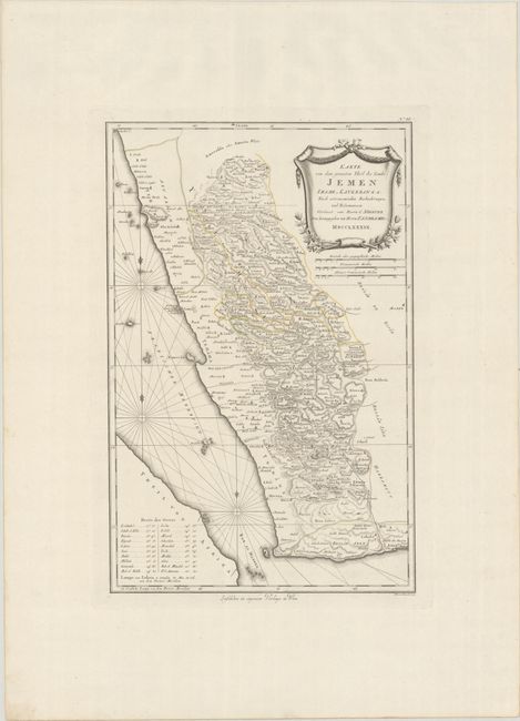
Subject: Yemen

Period: 1789 (dated)

Publication: Allgemeiner Grosser Atlass...

Color: Hand Color

Size:
14.6 x 22.5 inches
37.1 x 57.2 cm
Download High Resolution Image
(or just click on image to launch the Zoom viewer)

This detailed map of Yemen is based on the observations of Danish explorer Carsten Niebuhr and depicts the region along the eastern shore of the Red Sea to just above Jazan, Arabia. Numerous towns, cities, and wadis are shown interlaced in dense hachuring to convey topography. The Red Sea is filled with rhumb lines and fleur-de-lises. At lower left is an index providing latitude and longitude for major cities. The map is decorated by an elaborate title cartouche with three distance scales.

References: Phillips (Atlases) #694-44.

Condition: A+

A crisp impression with contemporary outline color on a bright sheet of "C & I Honig" watermarked paper.

Estimate: $140 - $170

Sold for: $130

Closed on 2/12/2025

Archived