Catalog Archive
Auction 202, Lot 622

"Armenia Vetus in Quatuor Partes Distincta, ad Tempora Iustiniani Imp", Mortier, Pierre

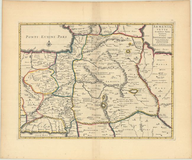
Subject: Southern Caucasus, Armenia

Period: 1720 (circa)

Publication:

Color: Hand Color

Size:
19.9 x 14.9 inches
50.5 x 37.8 cm
Download High Resolution Image
(or just click on image to launch the Zoom viewer)

This handsome map of ancient Armenia shows the region between the Black, Caspian, and Mediterranean Seas. The map is filled with classical place names, political boundaries, rope-like mountains and the river systems in the area. This is Mortier's re-engraved copy of Philippe de la Rue's map from 1653.

References:

Condition: B+

A sharp impression with contemporary outline color on a bright sheet with light offsetting and toning along the centerfold.

Estimate: $220 - $250

Sold for: $160

Closed on 2/12/2025

Archived