Subject: Western Hemisphere - America
Period: 1831-32 (dated)
Publication:
Color: Hand Color
Size:
13.1 x 11.1 inches
33.3 x 28.2 cm
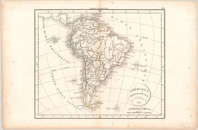
A matching pair of maps:
A. Amerique Septentrionale. This fascinating French map of North America features the United States in an evolving configuration. Present-day Texas and the rest of the American Southwest are still under Mexican control. There are some interesting additions to the region since the 1824 version of this map, including the "doubtful" Teguayo, a larger L. Timpanogos, the territory name Nouveau Mexique, and Rio Colorado de Texas. The northwest United States extends into present-day British Columbia due to the Fifty-four Forty or Fight dispute. Farther north, Alaska is identified as Russie Americaine. Many Indian lands are identified.
B. Amerique Meridionale. Nice copper engraved map showing the degree of development and political boundaries of the day. Good detail of the Amazon and along coastal regions. Watershed and topography are surprisingly well developed. The Falklands are here labeled the Is. Malouines.
References:
Condition: B+
Contemporary outline color with light soiling, some extraneous creasing along the centerfolds, a few pencil notations in the image, and marginal foxing and toning. There are two ink stains in the blank margins on the North American sheet.