Catalog Archive
Auction 202, Lot 746
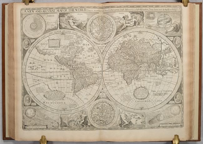
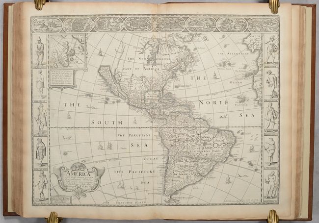
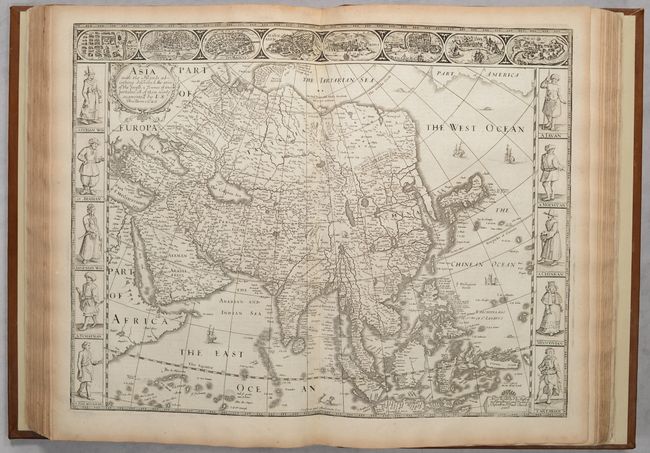
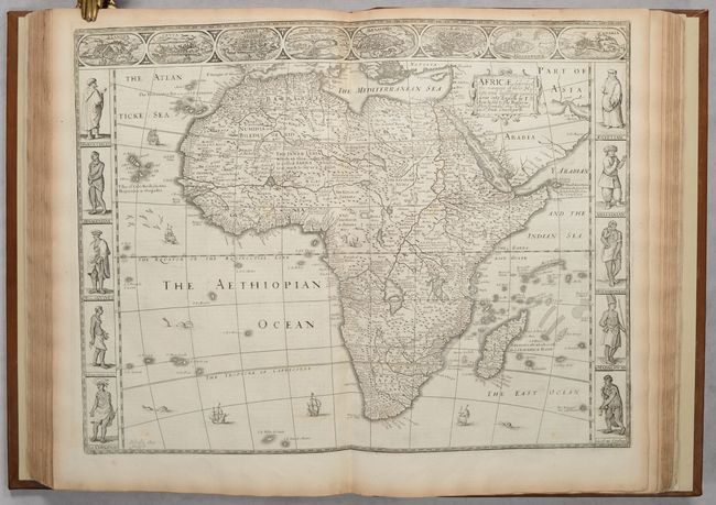
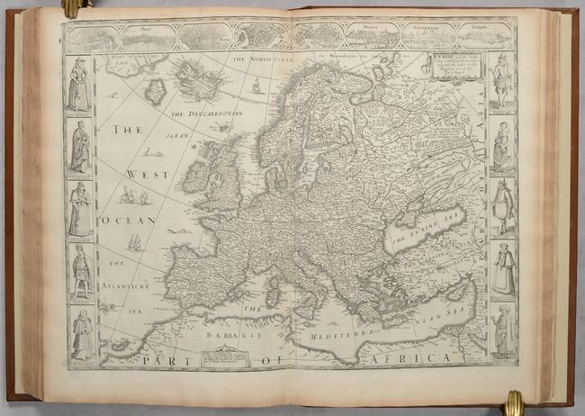
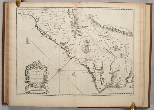
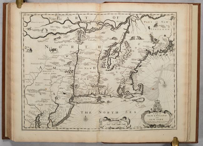
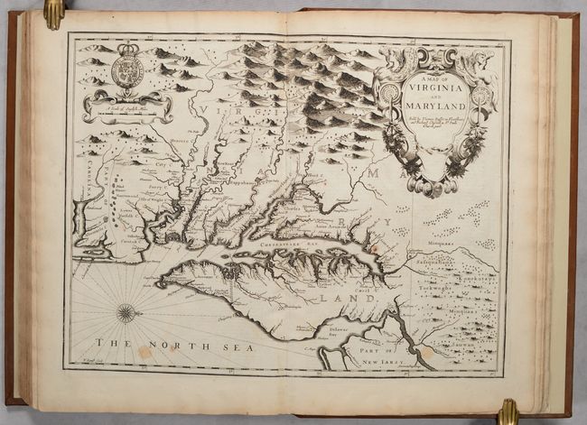
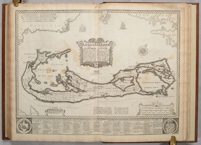
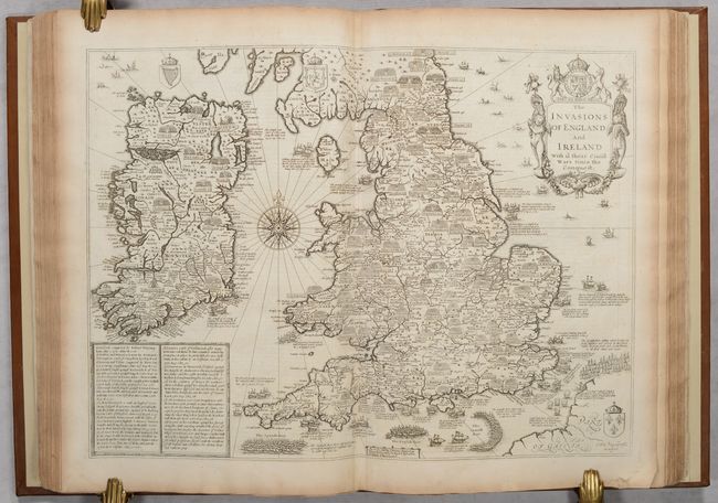
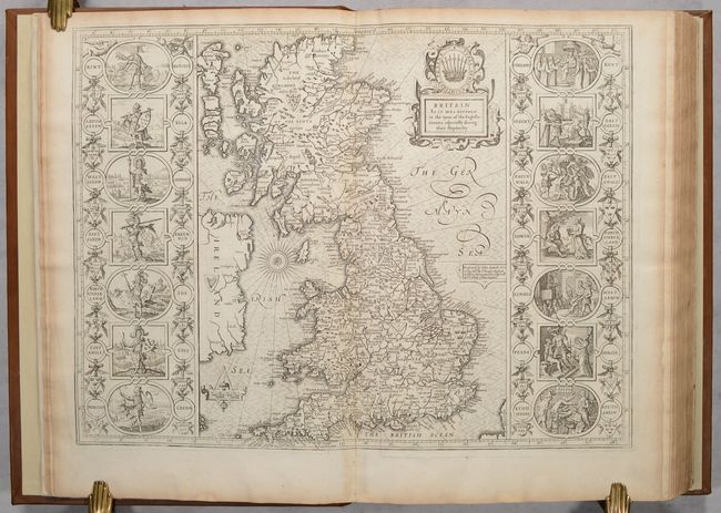
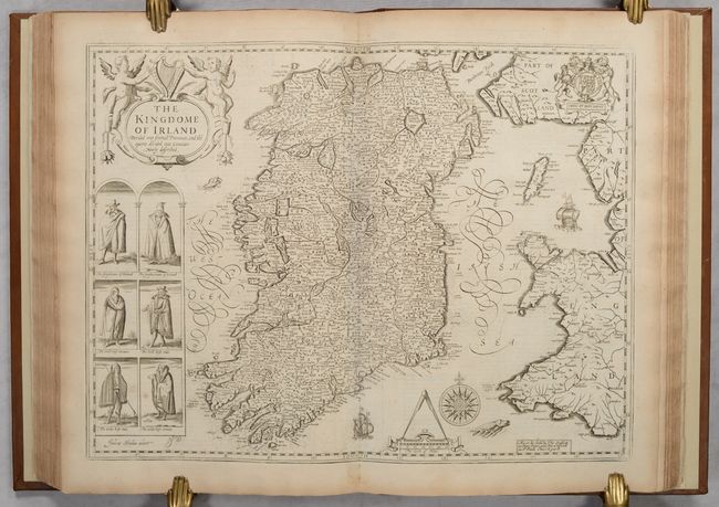
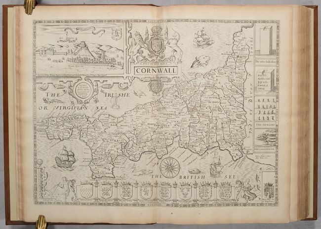
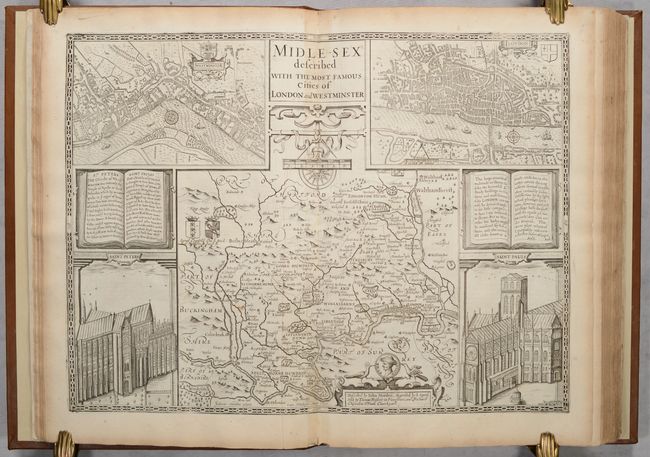
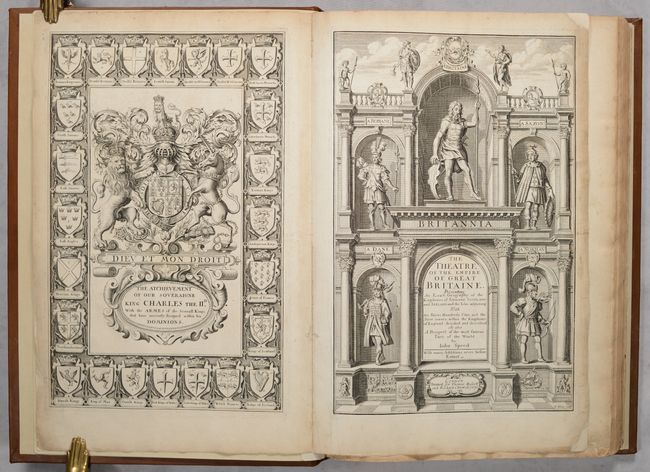
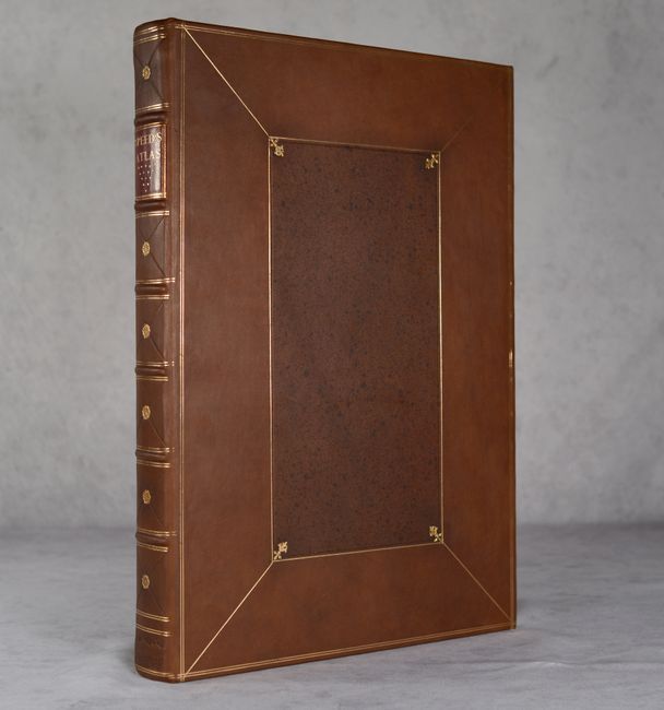
Speed's Dual Atlas with 96 Maps; from a Descendant of Speed
"The Theatre of the Empire of Great Britaine [bound with] A Prospect of the Most Famous Parts of the World", Speed, John
Subject: Atlases
Period: 1676 (published)
Publication:
Color: Black & White
Size:
12.5 x 18 inches
31.8 x 45.7 cm
Download High Resolution Image
(or just click on image to launch the Zoom viewer)
(or just click on image to launch the Zoom viewer)