Subject: Atlases
Period: 1825 (circa)
Publication:
Color: Hand Color
Size:
4.1 x 2.8 inches
10.4 x 7.1 cm
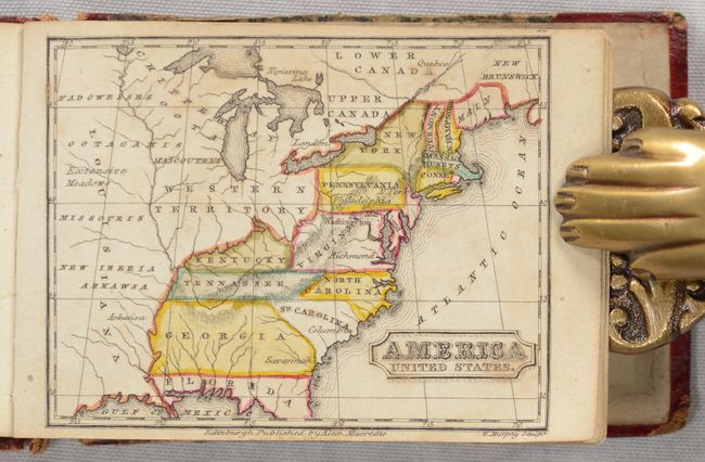
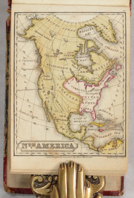
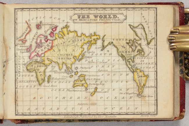
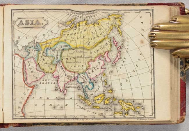
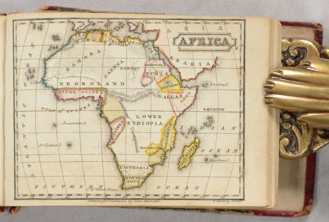
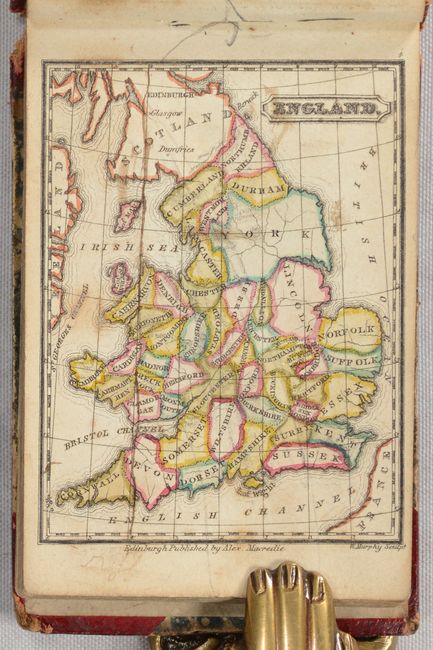
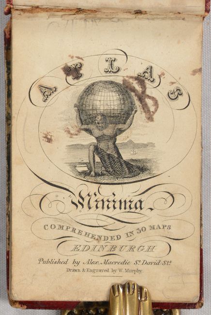
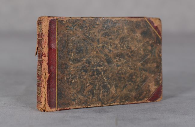
This charming miniature atlas includes 30 maps by William Murphy, an obscure Scottish cartographer and publisher of the early 19th century, as well as a member of the Edinburgh Geological Society. The title page includes an image of Atlas holding up the world in front of a river or lake. The atlas includes 2 maps of the world, maps of the 5 continents, 16 regional maps of Europe, 4 regional maps of Asia, and maps of Egypt, the United States, and the West Indies. The map of the United States is accurate circa 1800, with the new states of Kentucky and Tennessee, and Georgia extending to the Mississippi River. Several territories are shown to the west, including the Northwest Territory, here called simply Western Territory, as well as Missouri and Arkawsa (Arkansas). Oblong 32mo. Title page, list of maps, 30 maps. Hardbound in contemporary quarter calf with tips over marbled paper-covered boards, with gilt titling and tooling on the spine. Published by Alex Macredie.
References: King (Third Edition) #1825a Murphy.
Condition: B+
Condition code is for the maps, which are in full contemporary color with some light scattered foxing. Several of the maps have pencil scribbles on verso which show through slightly on about 5 maps. There are a few manuscript markings on the map of England, Europe and the title page. Covers are moderately worn and the rear cover is detached.