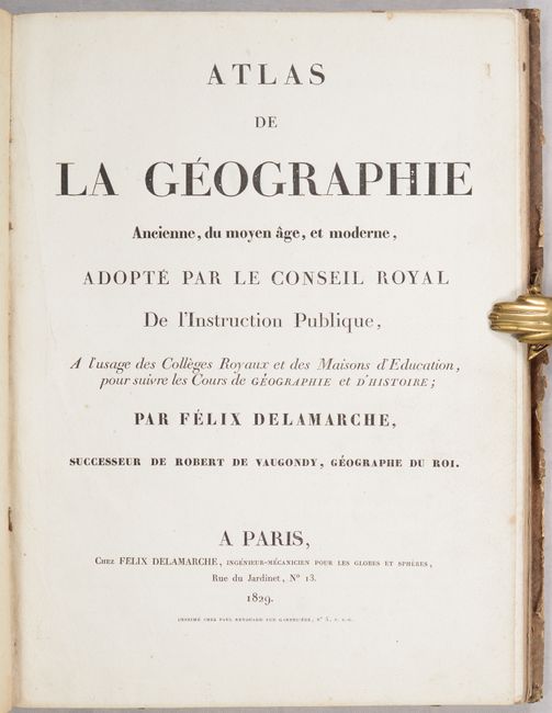
Subject: Atlases
Period: 1829 (published)
Publication:
Color: Hand Color
Size:
10 x 13.3 inches
25.4 x 33.8 cm
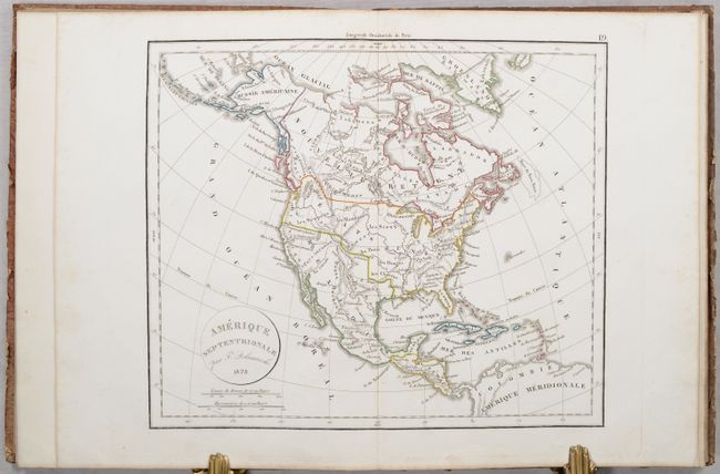
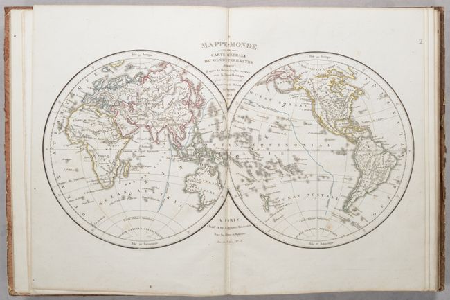
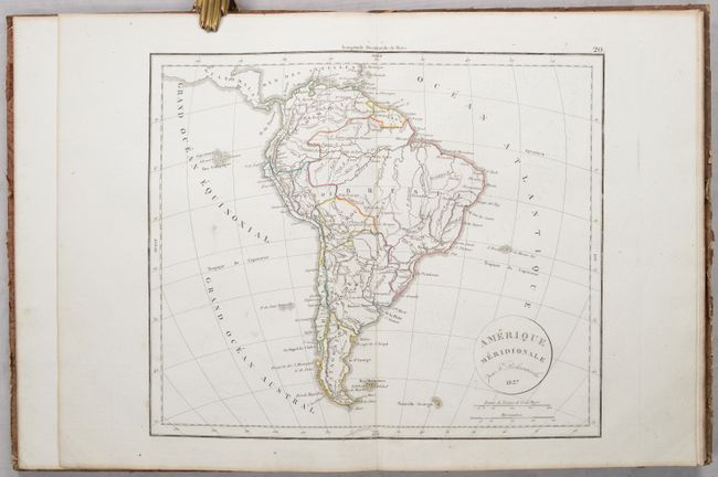
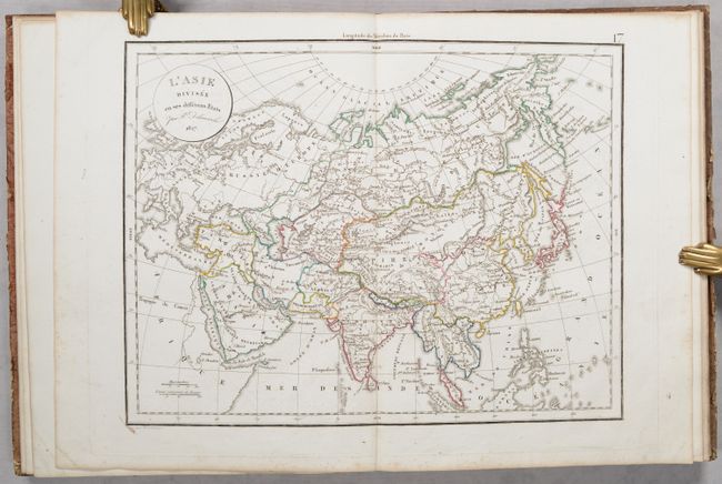
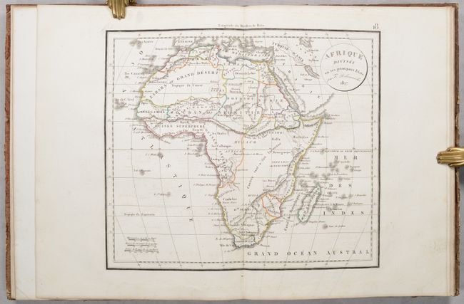
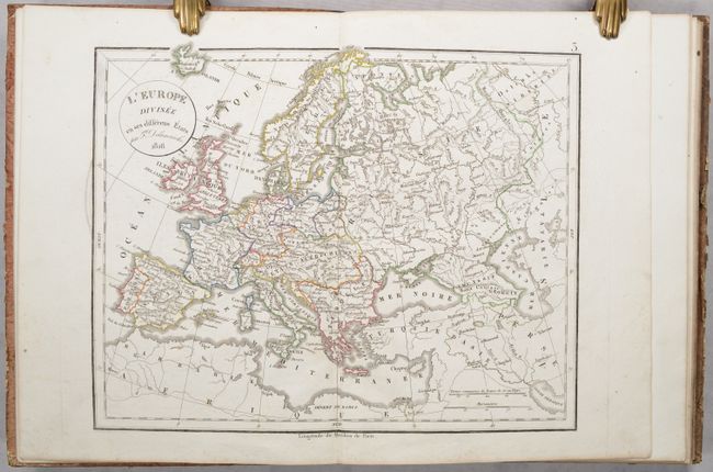
This complete atlas contains 35 double-page maps, including 16 of the ancient world and 19 maps of the modern world. The modern maps include the world, Europe, Asia, Africa, North America, South America, and 13 regional maps of Europe. The map of North America features the United States in an evolving configuration. Present-day Texas (unnamed) and the rest of the American Southwest are still under Mexican control. Some interesting notations include the "doubtful" Teguayo and L. Timpanogos, and "Parts Unknown" written across the Great Basin. The fictitious R.S. Sacramento flows from L. Timpanogos to the Pacific Ocean, and the northwest United States extends into present-day British Columbia reflecting U.S. interests in the region. Farther north, Alaska is identified as Russie Americaine. The atlas also contains an attractive double hemisphere map of the world and a double-page chart illustrating 13 different globes, armillary spheres and planetary system theories. Hardbound in quarter leather over paper boards with title label pasted on the front cover.
References:
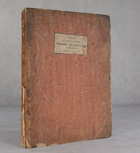
Condition: B+
The maps are very good to near fine on bright sheets with contemporary outline color. There is some faint to light offsetting in the images and occasional minor foxing mostly in the blank margins. Rear cover is starting and the front cover is almost detached. Covers are worn and chipped and the spine has nearly perished.