Subject: Atlases
Period: 1830 (circa)
Publication:
Color: Black & White
Size:
4.4 x 6 inches
11.2 x 15.2 cm
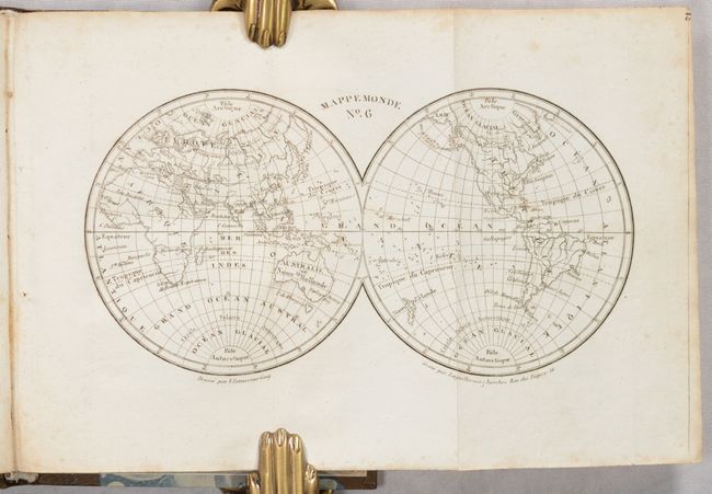
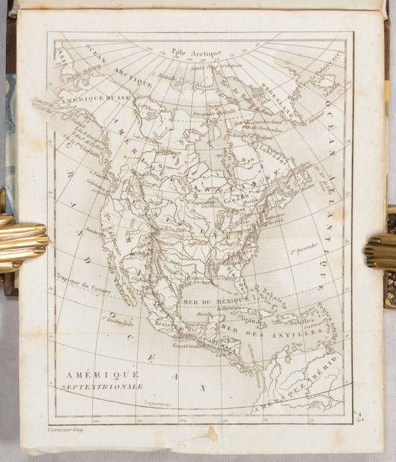
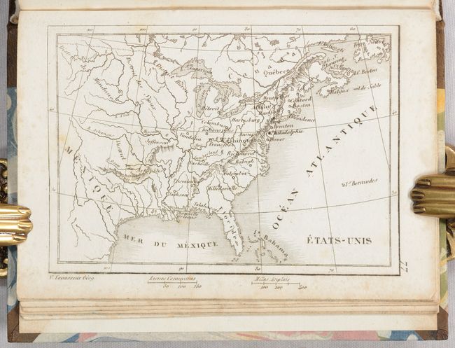
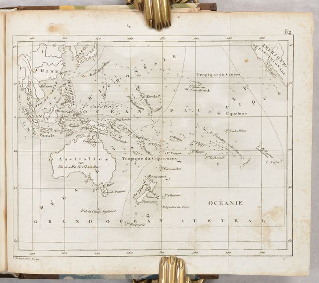
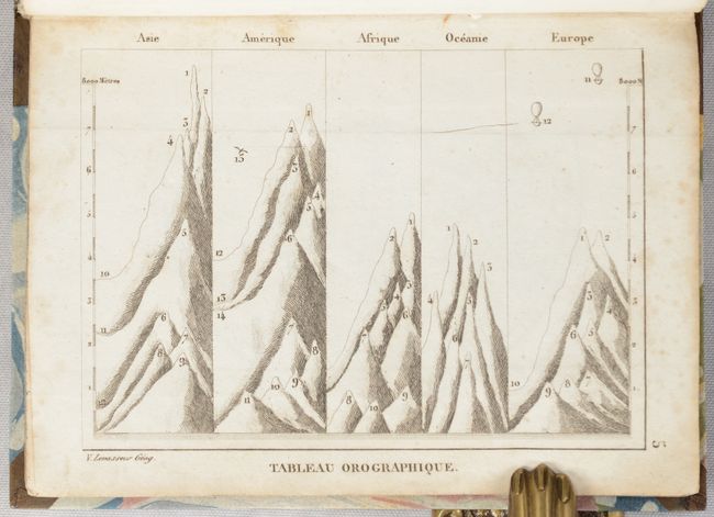
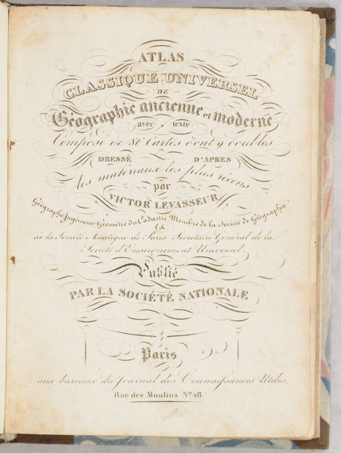
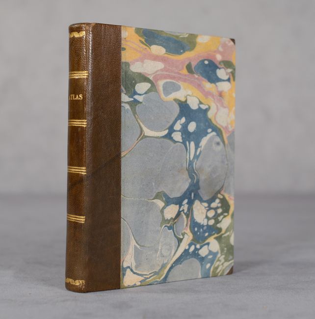
This petite atlas is complete with 83 maps (74 single-page and 9 folding), including 23 maps of the ancient world and 60 of the modern world. The modern maps include the world (2), Europe (24), Asia (9), Oceania (5), Africa (8), North America (7), and South America (5). The atlas includes a folding map of North America, and single-page maps of Canada, eastern United States, and the Southwest. These maps name larger cities mostly along the eastern seaboard, and locate rivers, mountains, and Indian districts west of the Mississippi River. Mexico is control of the Southwest and Texas is not named. Folding maps feature the world, a celestial map, and the continents. 3 additional plates present the solar system, a geological cross-section, and comparative mountain chart. Rebound in brown quarter leather over marbled boards.
References:
Condition: B+
Maps have some light scattered foxing that is more prominent along the sheet edges. Rebound with a bit of soiling on the covers.