Subject: Atlases
Period: 1856 (published)
Publication:
Color: Hand Color
Size:
16.4 x 19.1 inches
41.7 x 48.5 cm
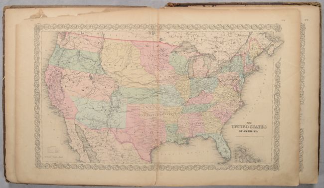
This disbound atlas, which was “limited to one thousand copies” contains 55 (of 56) single-page maps and 2 double-page maps (missing only the single-page South Carolina map). The atlas is similar to Volume I of Colton's Atlas of the World but is more robust. Included are double-page maps of the United States and New York City, and several maps of the western United States showing early and unusual territorial configurations. In addition to the one missing map, other components not present include the frontispiece, title page, list of maps, and most of the business advertisements found interspersed among the maps.
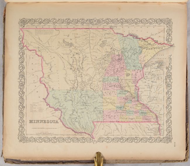
Of particular interest is the United States map, which features early western territorial boundaries. There is no sign of Dakota as Minnesota Territory extends to Nebraska at the Missouri River. The huge Nebraska Territory stretches between Minnesota to Oregon and Washington Territories at the Continental Divide, and south to Kansas. The large Kanzas Territory borders Utah and New Mexico in the west as there is no Colorado. Utah and New Mexico are both shown in their largest configurations. The border with Mexico is post-Gadsden Purchase. The map is filled with details and place names, forts, Indian tribes, emigrant roads, and much more of interest.
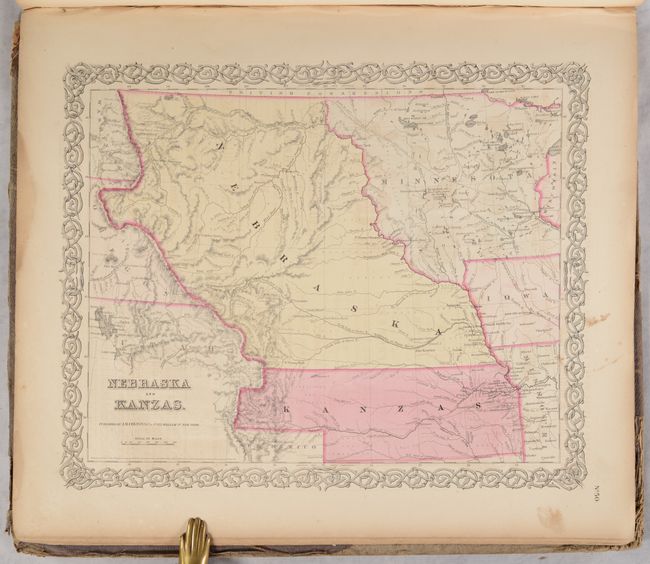
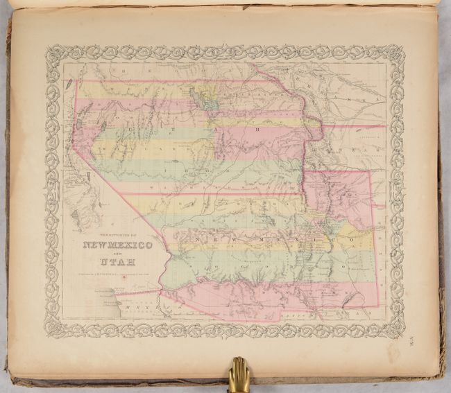
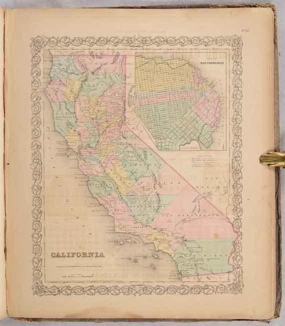
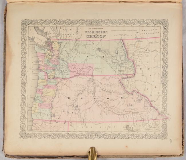
The atlas also includes the most desirable Nebraska and Kanzas map that depicts Nebraska stretching from Kansas to the Canadian border and bounded on the west by Washington and Oregon at the Continental Divide and Dakota on the east. Other maps include the territories of New Mexico and Utah, a California map with the large inset of San Francisco, and the territories of Washington and Oregon with their eastern boundaries on the Continental Divide. U.S. city plans include Boston, Philadelphia, Baltimore, Washington, Savannah/ Charleston, Louisville/New Orleans, and Pittsburgh/Cincinnati.
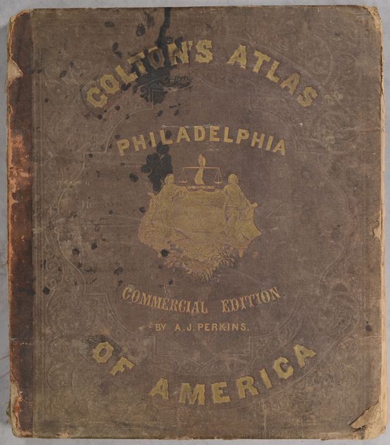
Disbound. Covers are present with title "Colton’s Atlas of America Philadelphia Commercial Edition by A.J. Perkins." See the Rumsey reference below for an example of the complete atlas.
References: Rumsey #5479.
Condition: B
Disbound. Condition code is for the maps, which are mostly good with some very good. The maps have light to occasionally moderate toning and offsetting, some light soiling and staining, and occasional roughness or tears along the edges. Maps are still loosely held together, though the first five maps have separated from the text block. Covers are detached and heavily worn and soiled.