Subject: Atlases
Period: 1865 (published)
Publication:
Color: Hand Color
Size:
12.6 x 15.6 inches
32 x 39.6 cm
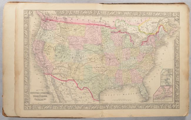
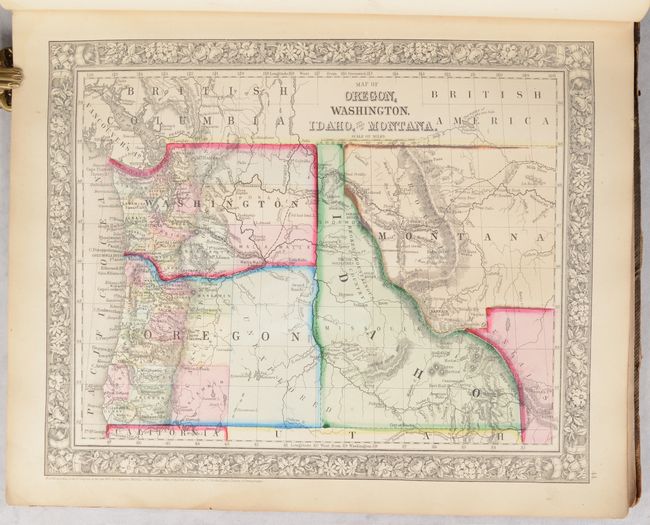
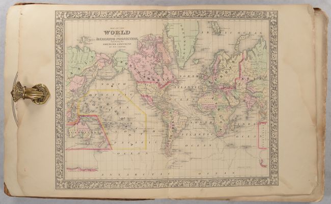
This Mitchell world atlas was produced during the last year of the Civil War. It is complete with 84 maps and plans on 53 sheets (with an extra map of NJ/MD/DE not in the table of contents), each surrounded by Mitchell's signature floral border. There are 28 map sheets related to the United States featuring 38 individual states and territories, regions and city plans. There are two world maps - one hemispheric and the other drawn on Mercator's Projection.
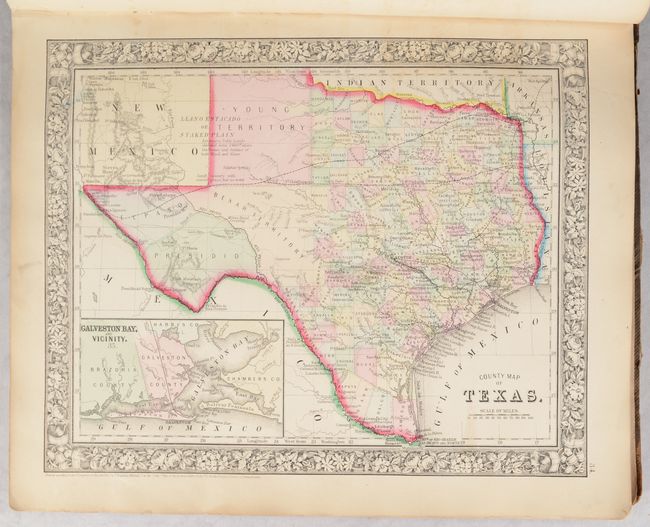
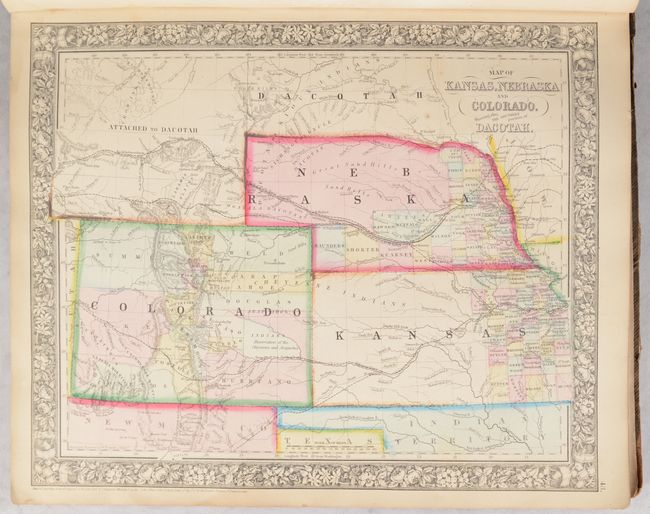
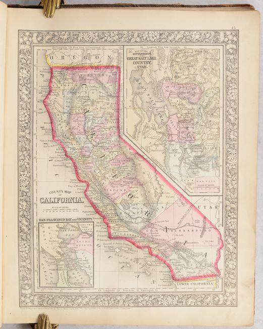
The map of Texas shows county development to 100° longitude with the large regions of El Paso, Presidio and the Bexar Territory further west. The Staked Plain is now called Young Territory. The Map of Kansas, Nebraska and Colorado Showing also the Eastern portion of Idaho locates the Gold Region surrounding Denver City. The Pony Express route is delineated on the map of the United States as are numerous routes of exploration, important trails including the Santa Fe, numerous wagon roads, the Overland Mail Route to California, and early railroads. This 1865 edition did not include the separate map of Arizona and New Mexico, however on the U.S. map the southern tip of Nevada is contained as part of the Territory of Arizona, and Utah encroaches a full degree of into Nevada. Includes full-page plans of the cities of Boston, New York, Philadelphia, Baltimore, Washington, New Orleans and Cincinnati. All maps carry the 1860 copyright date.
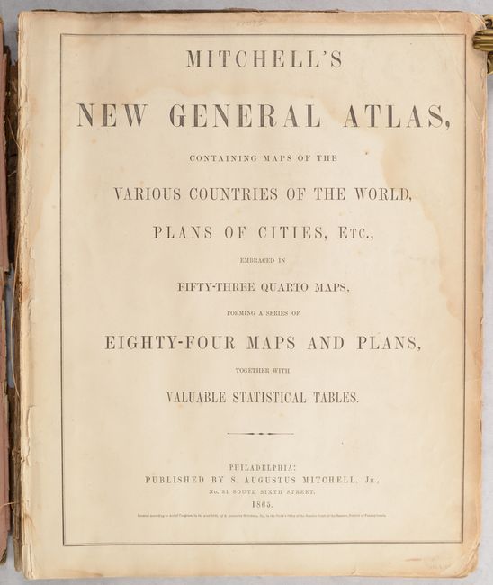
Contents include Title page, List of Maps, maps and plans, and are followed by 31 pages of text: List of Post Offices in the United States, Population of the United States by the Census of 1850 and 1860, List of Post Offices in Canada, Table of Population, Governments. &c., Table of Distances, Mountains of the World, and Rivers of the World. Partially disbound with both contemporary covers present.
References:
Condition:
Maps are very good to near fine with imperfections mostly in the right side margin including some chips and roughness, minor soiling, and occasional faint dampstains. Title page and list of maps have more prominent dampstaining at top. The first three signatures are loose while the remaining text block is still loosely attached to the rear cover. Spine has perished and front cover is detached. Maps (B+)/Binding (C)