Subject: School Atlases
Period: 1830 (published)
Publication:
Color: Hand Color
Size:
8.8 x 13.8 inches
22.4 x 35.1 cm
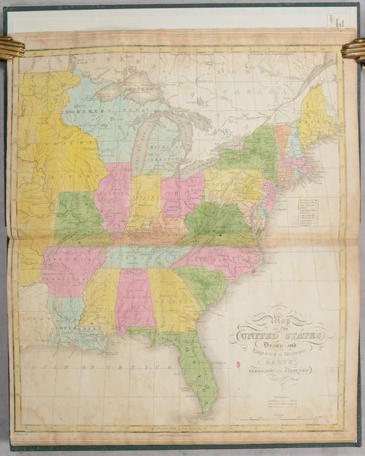
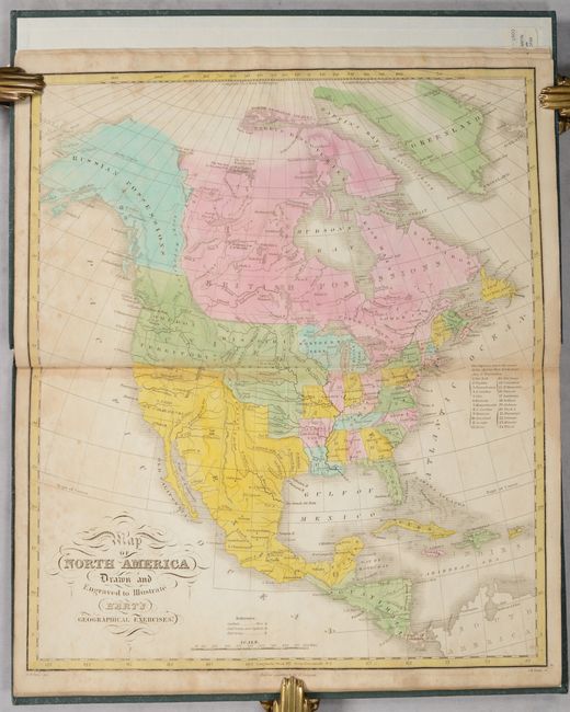
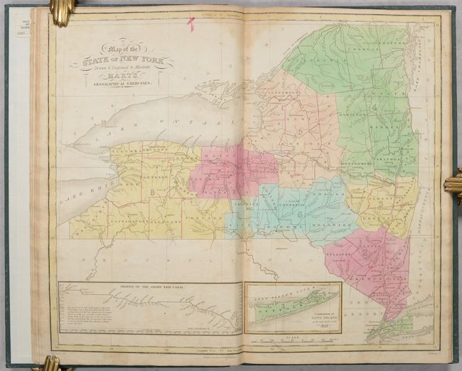
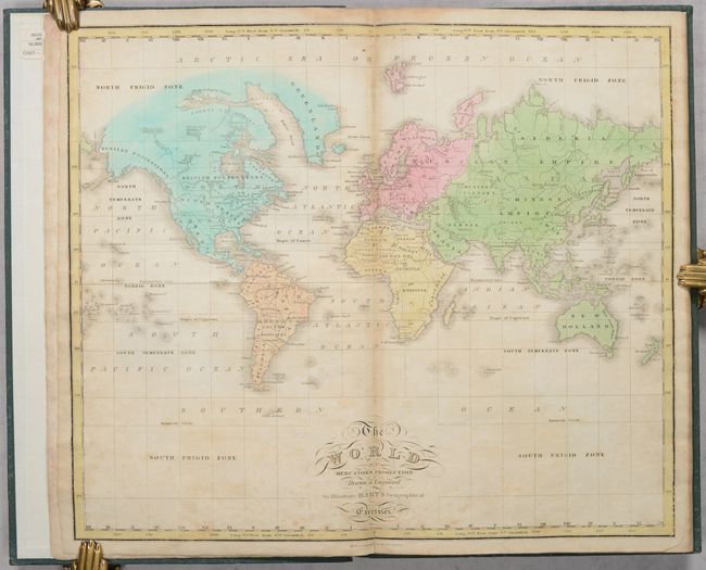
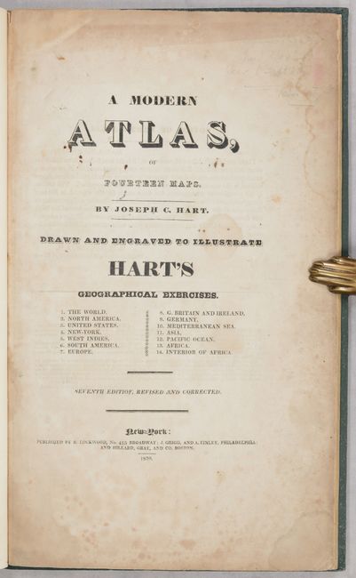
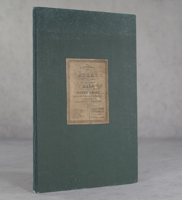
This attractive school atlas by Joseph Hart is complete with 14 double-page maps. It is a higher quality production on sturdy paper with maps drawn by D.H. Vance and engraved by J.H. Young. In the notice to readers, D.H. Barnes, Associate Principal of New York High School, states that "it is the best School Atlas which has come under my notice." The maps include the world (1), North America (4), South America (1), Europe (4), Asia (1), Oceania (1), and Africa (2). The map of the eastern United States presents a large Missouri Territory, state of Missouri with flat western border, Northern Territory in present-day Wisconsin and upper Michigan, and a small part of Texas (with no mention of Mexico). The map of North America shows Oregon Territory extending well north into present-day British Columbia, reflecting U.S. interests in the region. The map of New York illustrates the recently completed Erie Canal (1825) with a profile of its course at bottom. Rebound in green cloth with the original title label pasted on the front cover.
References:
Condition: B
The maps are in full contemporary color and are good to very good with scattered foxing and some light dampstaining primarily along the upper centerfold. The map of Ireland has a small repaired hole. Binding has light shelf wear.