Subject: School Atlases
Period: 1855 (published)
Publication:
Color: Hand Color
Size:
9.5 x 12 inches
24.1 x 30.5 cm
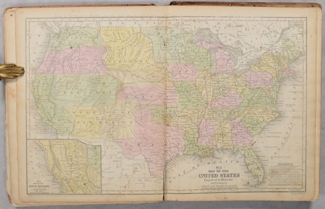
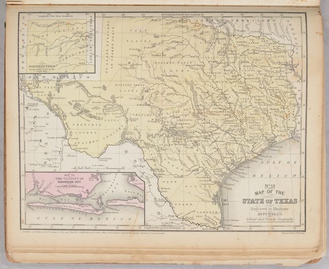
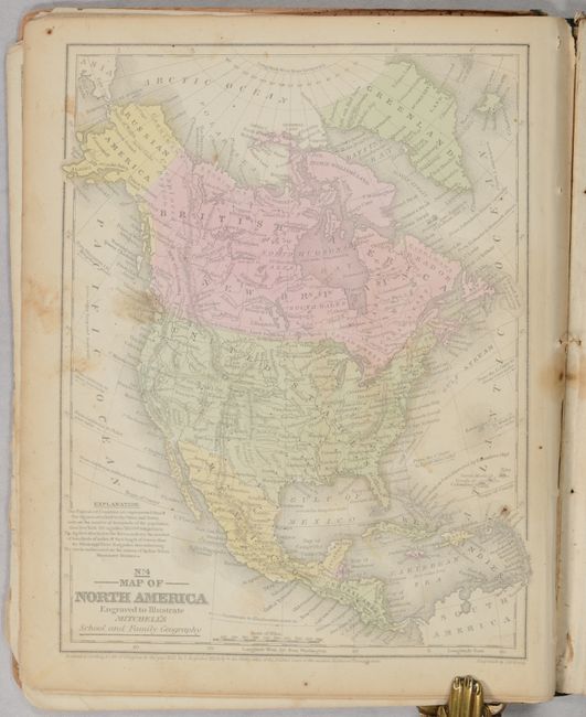
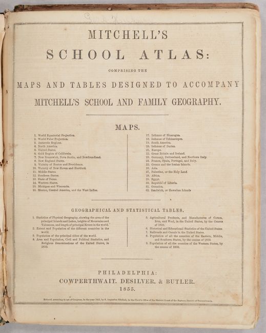
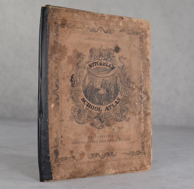
This example of Mitchell's famous school atlas is complete with 32 maps, many double-page, along with tables and statistics. The double-page map of the United States features large Utah, New Mexico, and Nebraska territories. Oregon and Washington territories extend to the Continental Divide. This map also features an inset of the Gold Region of California. The atlas also includes the desirable "No. 13 Map of the State of Texas" in its present-day configuration. All maps have blank versos. Hardbound with pictorial paper over boards. This is the fourth revised edition, published by Cowperthwait, Desilver & Butler.
References:
Condition: B
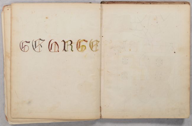
The maps are good to very good with some occasional light toning , soiling and staining. The U.S. map has a 2" centerfold separation at bottom. There are occasional pencil notations in the margins of the maps and various illustrations in both pencil and ink on many of the versos (as is commonly seen with school atlases). Text block is cracked with the upper string tie missing. The spine perished and has been rebacked with black binders tape with boards slightly askew. Covers are heavily soiled and worn. Cover title has been colored in black ink.