Subject: School Atlases
Period: 1860 (dated)
Publication:
Color: Hand Color
Size:
11.8 x 13.8 inches
30 x 35.1 cm
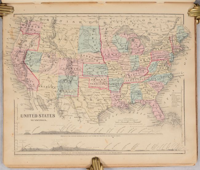
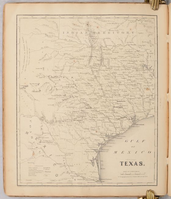
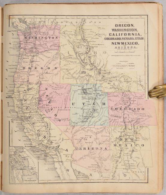
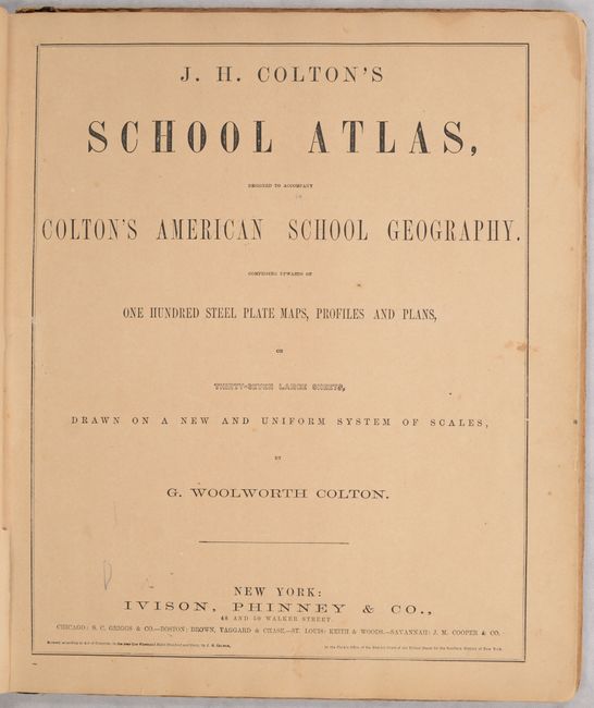
A large quarto-format atlas with numerous steel plate maps, profiles and plans, on 37 large sheets. With a nice single page Texas and an excellent map of Oregon, California and the Southwest that shows the newly formed Nevada and Arizona. Arizona occupies the southern tip of Nevada in several maps. The U.S. map features a huge Idaho Territory that extends from Washington & Oregon to the large Dakota Territory at 104°. The atlas is dated 1860 but is obviously a circa 1863 publication. As a Civil War-period atlas it is fascinating to find not a single reference to the conflict.
References:
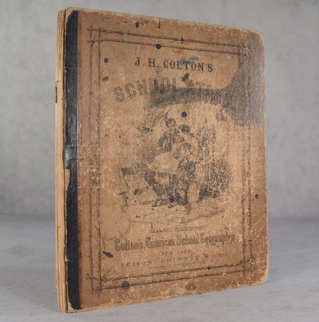
Condition: B
Maps are good to very good on lightly toned sheets with occasional foxing or soiling. Covers are heavily worn and the spine has perished.