Subject: Geography Books
Period: 1795 (published)
Publication:
Color: Black & White
Size:
5.3 x 8.5 inches
13.5 x 21.6 cm
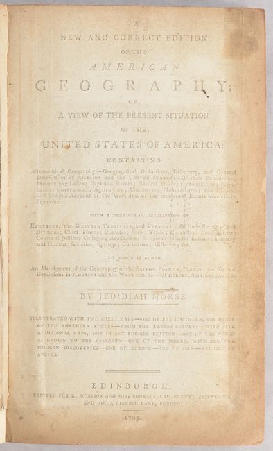
This is the Scottish version of the "New and Correct Edition" printed for R. Morison and Son in Edinburgh. It is complete with seven maps engraved by Samuel Neele including the following:
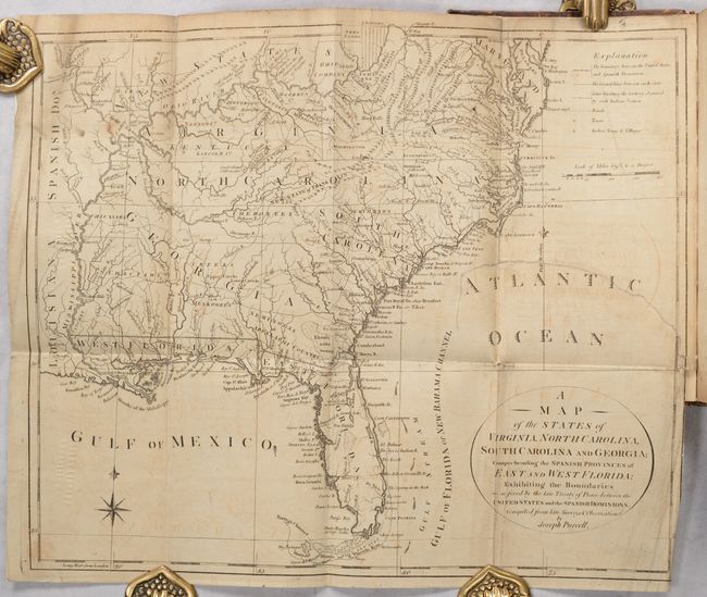
A Map of the States of Virginia, North Carolina, South Carolina and Georgia…
The World as Known to the Antients
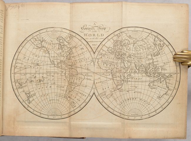
A Correct Map of the World with the Latest Discoveries
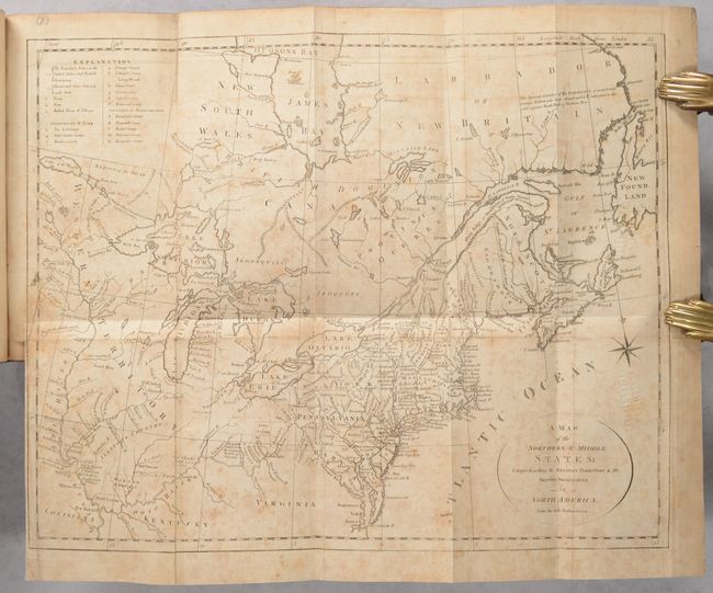
A Map of the Northern & Middle States; Comprehending the Western Territory & the British Dominions
An Accurate Map of Europe Compiled from the Best Authorities
A New Map of Asia Drawn from the Best Authorities
A New Map of Africa from the Best Authorities
Of particular interest is Joseph Purcell’s map of the southern United States depicting the State of Franklin in present-day eastern Tennessee. It features a great amount of information, including boundaries claimed by the various Indian Nations and trading paths on the western frontier. It shows early settlements, including a Moravian Settlement in North Carolina, and the Cumberland Settlements in Tennessee. At the top of the map, in the nascent Northwest Territory, the 7 Ranges denote the first application of the Public Land Survey System. A triangular shaped plot of land in the region of present-day West Virginia is labeled Indiana. Also of interest is the map of the Northern and Middle States, which feature numerous Bounty Land Grants on the western frontier including Genl Clarks, Donation Lands from the Commonwealth of Virginia, and Ohio Company in Ohio, and Wabash Company, New Jersey Company, and Illinois Company in Illinois.
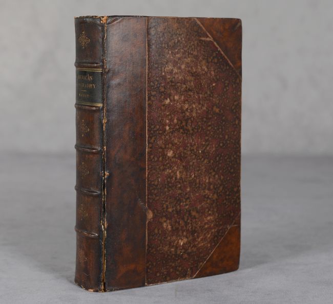
Hardbound in half-leather over marbled boards with title label and raised bands on spine. 531 pages.
References: Howes #M-840; McCorkle (18th C. Geography Books) #306; Dotson & Baker (OWA) #11.1.
Condition: B
The folding maps are backed with old linen and have light toning and offsetting, minor soiling, and old library blind stamps on verso (which are visible on recto). The southern U.S. map has an archivally repaired 6" binding tear at right while the northern map has a 2" repaired binding tear at left. Text is moderately toned and the folding table at back is creased. There is an old bookplate for the Sondley Library (Asheville, NC) on the front pastedown. The binding has light shelf wear and the front cover is nearly detached.