Subject: References, Norway
Period: 2012 (published)
Publication:
Color: Printed Color
Size:
9.8 x 11.9 inches
24.9 x 30.2 cm
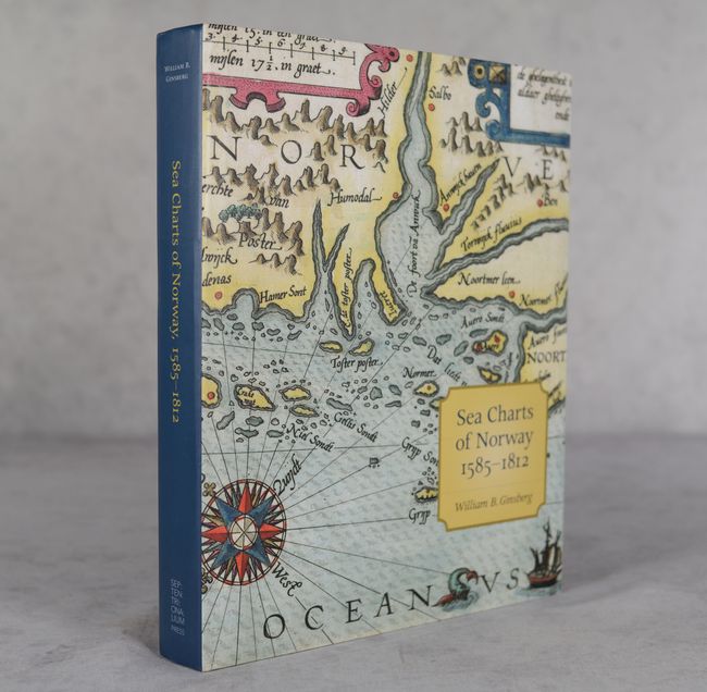
This excellent reference on the sea charts of Norway completes William B. Ginsberg's trilogy on the cartography of Norway and Scandinavia (the other volumes are Maps and Mapping of Norway, 1602-1855 [2009] and Printed Maps of Scandinavia and the Arctic, 1482-1601 [2006]). It is divided into 13 chapters covering Dutch cartographers, English entrepreneurs, Scandinavian government charts, and official French hydrography. The volume covers 220 maps with cartobibliographical information and includes 320 illustrations, many in color. Published by Septentrionalium Press. 321 pages. Hardbound in gray cloth with an illustrated dust jacket.
References:
Condition: A
Contents and covers are near fine. Dust jacket has minor creasing.