Catalog Archive
Auction 202, Lot 788
NO RESERVE
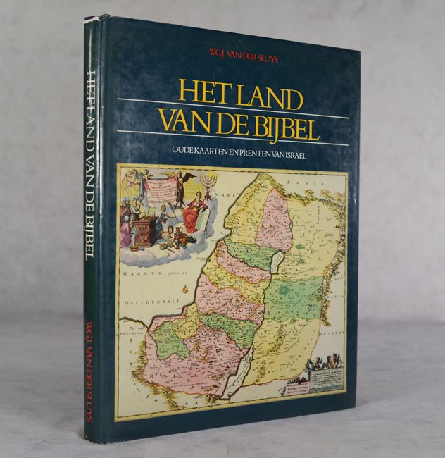
"Het Land van de Bijbel - Oude Kaarten en Prenten van Israel"
Subject: References, Holy Land
Period: 1986 (published)
Publication:
Color: Printed Color
Size:
12 x 15.4 inches
30.5 x 39.1 cm
Download High Resolution Image
(or just click on image to launch the Zoom viewer)
(or just click on image to launch the Zoom viewer)