Current Auction
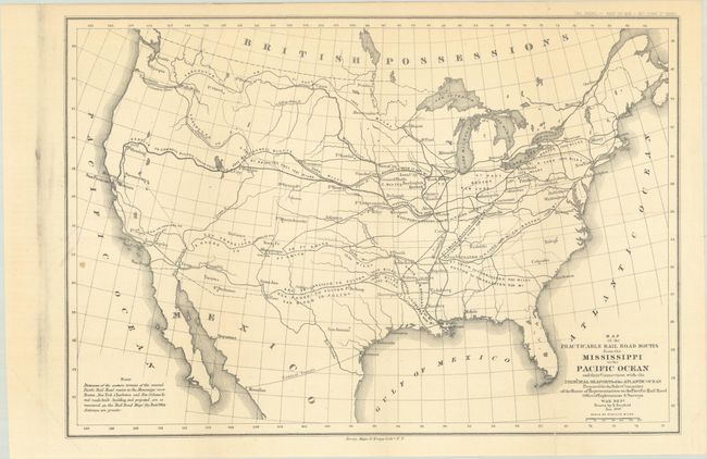
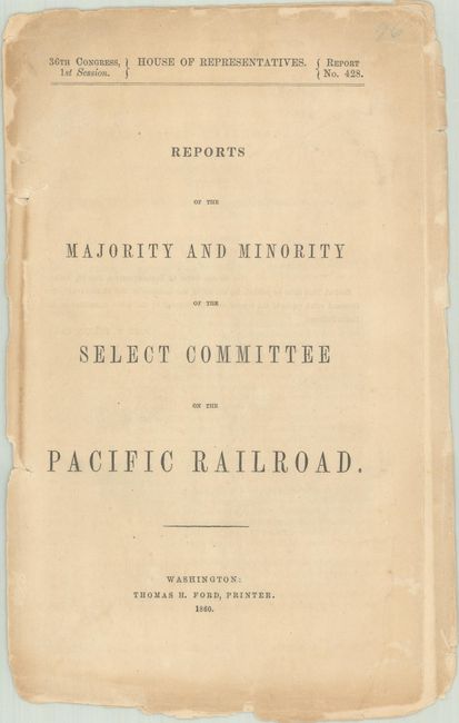
"[Map and Report] Map of the Practicable Rail Road Routes from the Mississippi to the Pacific Ocean… [and] Reports of the Majority and Minority of th Select Committee on the Pacific Railroad", U.S. War Department
Subject: United States
Period: 1860 (published)
Publication: H.R. Doc. 428, 36th Congress, 1st Session
Color: Black & White
Size:
14.2 x 9.7 inches
36.1 x 24.6 cm
Download High Resolution Image
(or just click on image to launch the Zoom viewer)
(or just click on image to launch the Zoom viewer)
The title for this map continues "Prepared for the Select Committee of the House of Representatives on the Pacific Rail Road…Drawn by E. Freyhold Jan. 1859." It is described in the text as a miniature of the large Warren map, but it is quite different. In includes the entire United States with the connections and distances of the possible routes to the major east coast cities. The majority report called for the selection of the central route, a variation of which became the first trans-continental railroad. Arguing for an overland route, the report lists recent steamboat losses to underscore the advantages of the rail system. Accompanied by the complete 72-page report. The map and accompanying report provide a fascinating picture of the history of American railroads.
References:
Condition: B+
Condition code is for the folding map, which is very good with a couple of short archivally repaired fold separations and a small spot along the left border. Text is uncut, untrimmed, with light toning and chipped edges. Some pages/sections are loose.
Estimate: $160 - $190
Current High Bid:
$0
Reserve: Reserve Not Met
Next Bid: $80
Bid Increments
$50 - $99$5
$100 - $249$10
$250 - $499$25
$500 - $999$50
Terms & Conditions