Current Auction
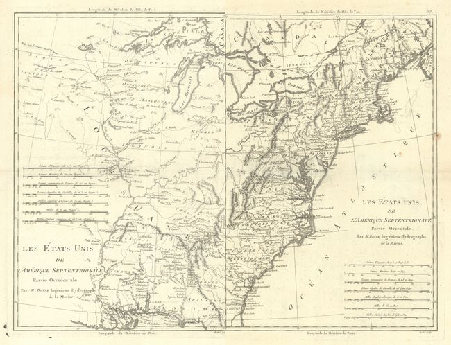
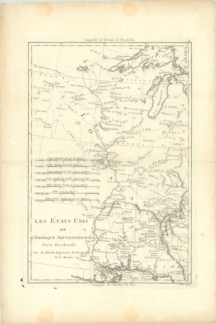
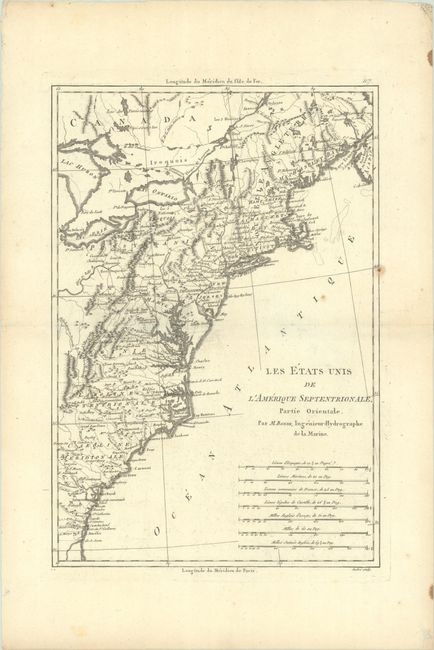
"[Lot of 2] Les Etats Unis de l'Amerique Septentrionale, Partie Occidentale [and] ... Partie Orientale", Bonne, Rigobert
Subject: Eastern United States
Period: 1787 (circa)
Publication:
Color: Black & White
Size:
9.3 x 13.7 inches
23.6 x 34.8 cm
Download High Resolution Image
(or just click on image to launch the Zoom viewer)
(or just click on image to launch the Zoom viewer)
Matched pair of maps covering the territory of the newly created United States. Partie Orientale covers the eastern seaboard from New England to the coast of Georgia. Partie Occidentale shows the territory from the Appalachian Mountains to the Mississippi River. The southern states are shown with their western boundaries extended to the Mississippi River. Early settlements, frontier forts, missions, mines, Indian villages, as well as some trails and portages are revealed in great detail. Both with seven distance scales. Engraved by Andre.
References: McCorkle #788-1; Sellers and Van Ee #794.
Condition: B+
Crisp impressions on watermarked paper with some faint offsetting and a couple spots of foxing on the eastern sheet. There is some minor staining in the blank margins. The first image is a composite image - the map is on two separate sheets.
Estimate: $375 - $450
Current High Bid:
$0
Reserve: Reserve Not Met
Next Bid: $190
Bid Increments
$100 - $249$10
$250 - $499$25
$500 - $999$50
$1,000 - $2,499$100
Terms & Conditions