Current Auction
"Louisiana", Ehrmann, Theodor Friedrich
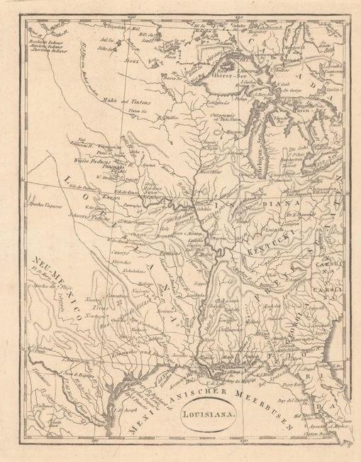
Subject: Central United States
Period: 1804 (circa)
Publication: Schilderung von Louisiana...
Color: Black & White
Size:
6.6 x 8.6 inches
16.8 x 21.8 cm
Download High Resolution Image
(or just click on image to launch the Zoom viewer)
(or just click on image to launch the Zoom viewer)
An interesting little map showing the Mississippi basin. The United States are labeled Freye Staaten with the frontier showing a huge Indiana, an incompletely formed Kentucki, and Georgia taking in all the region to the Mississippi River, including the area of Tennessee. Locates many Indian villages as well as early western forts.
References: Phillips (Maps) p. 371; Sabin #4964.
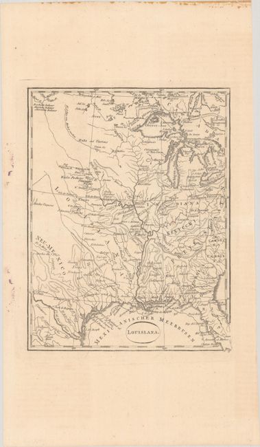
Condition: A
A crisp impression, issued folding. There is a small repaired edge tear in the right blank margin and a few small stains in the left blank margin.
Estimate: $275 - $350
Price: $200
Bid Increments
$100 - $249$10
$250 - $499$25
$500 - $999$50
$1,000 - $2,499$100
Terms & Conditions