Current Auction
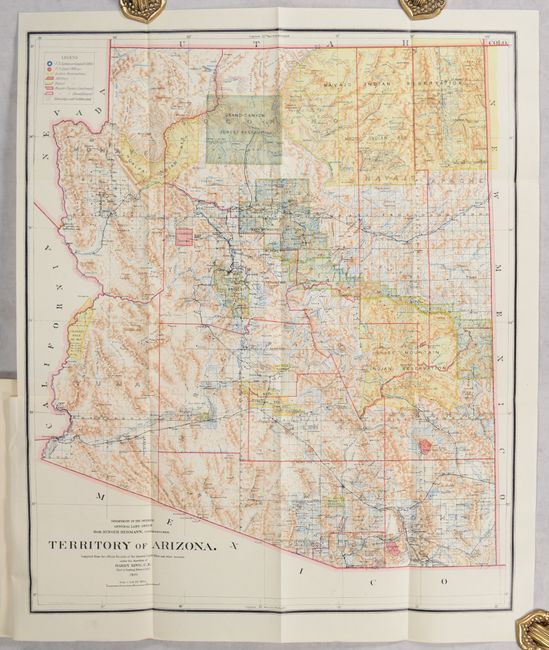
"[Map in Report] Territory of Arizona [in] Report of the Governor of Arizona to the Secretary of the Interior", General Land Office
Subject: Arizona
Period: 1901 (published)
Publication:
Color: Printed Color
Size:
16.9 x 20.3 inches
42.9 x 51.6 cm
Download High Resolution Image
(or just click on image to launch the Zoom viewer)
(or just click on image to launch the Zoom viewer)
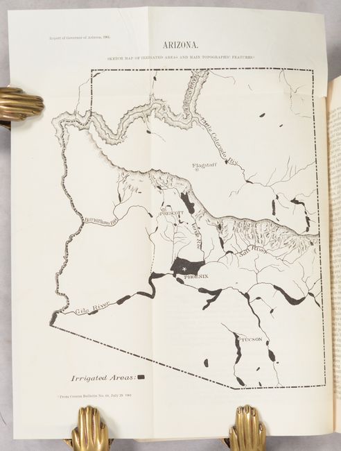
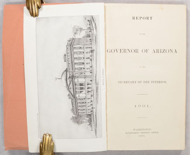
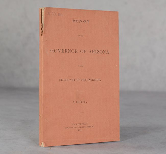
This colorful map with great detail was issued eleven years before statehood. The extent of nine Indian reservations and at least three Military reservations, including Camp Apache, are clearly shown in different colors. Numerous confirmed and unconfirmed land claims are named and located. A huge Grand Canyon Forest Reserve is shown. The brown hachured mountain area and the blue waterways combine to provide great visual impact. Information includes watersheds, mountains, railroads, wagon roads, private claims, unsurveyed townships, etc. A beautiful example published while Harry King was the Chief of Drafting and the Hon. Binger Hermann was commissioner. Includes an additional small folding map of the state (8 x 11") which is a "Sketch Map of Irrigated Areas and Main Topographic Features," as well as over 20 black & white photographic illustrations. Original salmon-colored wrappers. Complete, octavo, 144 pages.
References:
Condition: A
The folding maps and single-page plates are clean, bright and fine. The text is near fine with an occasional hint of toning. There are a couple of tears along the joint of the front wrapper.
Estimate: $150 - $180
Current High Bid:
$0
Reserve: Reserve Not Met
Next Bid: $75
Bid Increments
$50 - $99$5
$100 - $249$10
$250 - $499$25
$500 - $999$50
Terms & Conditions