Current Auction
NO REESRVE
"Fold-O-Globe", Eddy, Gerald
Subject: Cartographic Miscellany, Folding Globe
Period: 1942 (dated)
Publication:
Color: Printed Color
Size:
8.4 x 9.3 inches
21.3 x 23.6 cm
Download High Resolution Image
(or just click on image to launch the Zoom viewer)
(or just click on image to launch the Zoom viewer)
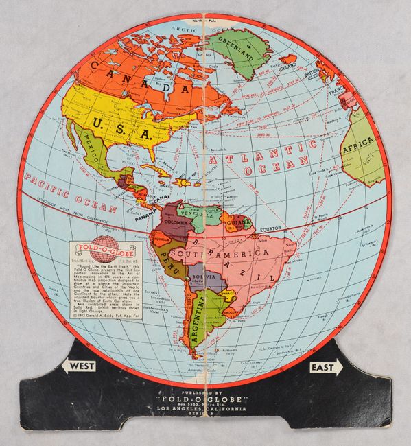
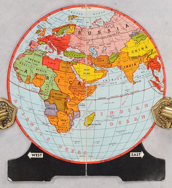
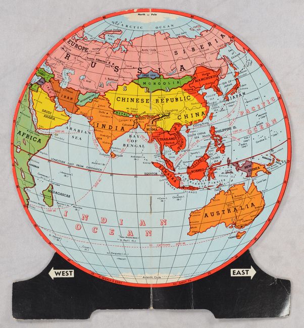
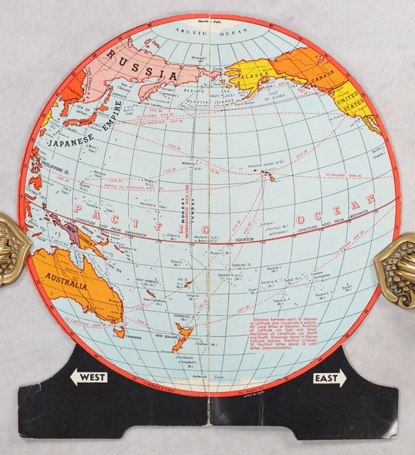
This unusual folding globe makes the bold claim that it "presents the first important innovation in the Art of Map-making in 474 years - a continuous map projection designed to show at a glance the important Countries and Cities of the World and the true relationship of one Continent to the other." Folding globes were an inexpensive alternative to proper globes for students, and given that they were published during World War II, they would have been a very useful tool for understanding the geography of news from the front. The globe is divided into four quadrants that butterfly out including views of the Western Hemisphere, Europe and Africa, Asia and Australia, and the Pacific Ocean including far eastern Asia and far western North America including Alaska. Axis countries area depicted in bright red, with Nazi Germany extending from Poland to France and Italy.
References:
Condition: B+
There is some light surface wear that is more prominent on the Western Hemisphere quadrant.
Estimate: $30 - $50
Current High Bid:
$12
Reserve: Reserve Met
Next Bid: $13
Bid Increments
Under $50$1
$50 - $99$5
$100 - $249$10
$250 - $499$25
$500 - $999$50
Terms & Conditions