Current Auction
Lot 360
Current Auction

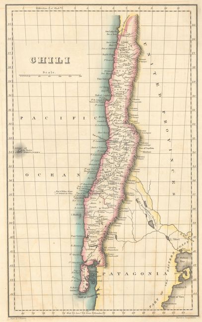
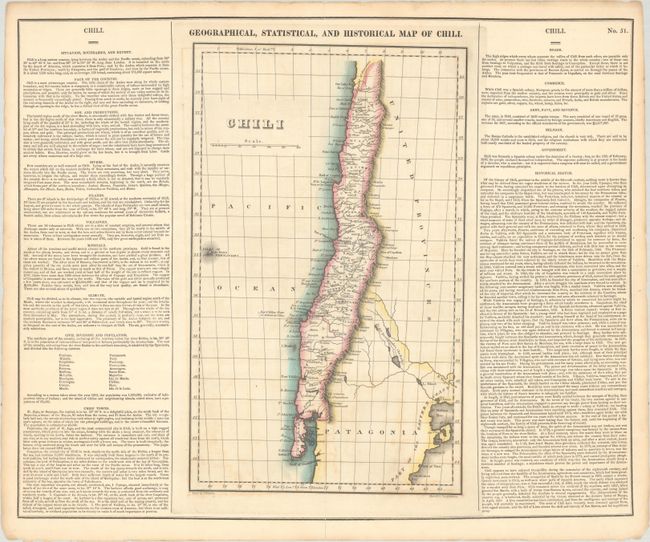
"Geographical, Statistical, and Historical Map of Chili", Carey & Lea

Subject: Chile

Period: 1822 (circa)

Publication: A Complete Historical, Chronological, and Geographical American Atlas

Color: Hand Color

Size:
9.2 x 15 inches
23.4 x 38.1 cm
Download High Resolution Image
(or just click on image to launch the Zoom viewer)

A detailed map extending from Chiloe Island north to the Great Desert of Atacama. Locates numerous gold, silver, lead, and tin mines throughout. Extends to include portions of the United Provinces and Patagonia to the east (present-day Bolivia, Paraguay, Uruguay, and Argentina) and the Juan Fernandez Islands to the west. On a full folio sheet (21.7 x 18.0") surrounded by text describing the region's topography, climate, chief towns, history, and more. Drawn by James Finlayson and engraved by Young and Delleker.

References:

Condition: B+

A nice impression with faint offsetting and short archivally repaired fold separations at top and bottom.

Estimate: $100 - $130

Sold for: $75

Closed on 4/23/2025

Closed