Current Auction
"Accuratissima Galliae Tabula Vulgo Royaume de France", Schagen, Gerrit Lucaszoon van
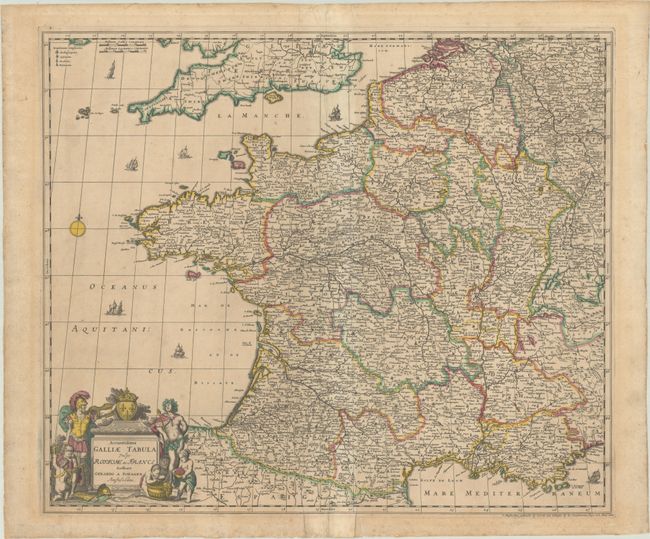
Subject: France
Period: 1690 (circa)
Publication:
Color: Hand Color
Size:
22.7 x 19.3 inches
57.7 x 49 cm
Download High Resolution Image
(or just click on image to launch the Zoom viewer)
(or just click on image to launch the Zoom viewer)
This decorative map of France extends to include Belgium and Luxembourg with portions of Switzerland, Germany, and England. It is filled with finely engraved detail of the political divisions, towns, and topography. The title cartouche is flanked by Bacchus and a Roman soldier with cherubs in the foreground. The map appears to be identical to Frederick de Wit's earlier map and updated with Schagen's imprint.
References:
Condition: B
Full contemporary color with several areas of cracking due to oxidation of the green pigment. There is some light toning, minor foxing, and a few edge tears at bottom that have been archivally repaired on verso. The sheet edges have been backed with paper tape on verso.
Estimate: $200 - $230
Price: $150
Bid Increments
$100 - $249$10
$250 - $499$25
$500 - $999$50
$1,000 - $2,499$100
Terms & Conditions