Current Auction
"Descriptio Lineae Occiduae Rheni, ab Inferiori Alsatia usq ad Maguntiacum", Munster, Sebastian
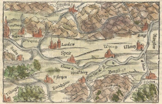
Subject: Western Germany
Period: 1554 (published)
Publication: Cosmographiae Universalis…
Color: Hand Color
Size:
5.3 x 3.5 inches
13.5 x 8.9 cm
Download High Resolution Image
(or just click on image to launch the Zoom viewer)
(or just click on image to launch the Zoom viewer)
Sebastian Munster (1489 - 1552) was one of the three most renowned cartographers of the sixteenth century, along with Mercator and Ortelius. Munster's Geographia and Cosmographia Universalis were two of the most widely read and influential books of the period. His editions of Ptolemy's Geographia, published between 1540 and 1552, were illustrated with 48 woodcut maps, the standard 27 Ptolemaic maps supplemented by 21 new maps. These new maps included a separate map of each of the known continents and marked the development of regional cartography in Central Europe. The antique geography was a prelude to Munster's major work, the Cosmographia, which was published in nearly 30 editions in six languages between 1544 and 1578 and then was revised and reissued by Sebastian Petri from 1588 to 1628. The Cosmographia was a geographical as well as historical and ethnographic description of the world. It contained the maps from the Geographia plus additional regional maps and city views with nearly 500 illustrations which made it one of the most popular pictorial encyclopedias of the sixteen century.
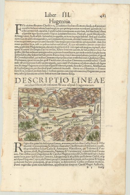
This map focuses on the central Rhine valley from Strasbourg, France to Mainz, Germany, with Speyer at the center of the image. The map is oriented with north to the right and there is graphic depiction of the surrounding mountains. On a sheet of Latin text measuring 8.1 x 12.3".
References: Shirley (BL Atlases) T.MUN-1e.
Condition: A
A nice impression on a bright sheet with marginal soiling and a few dampstains along the edges of the sheet.
Estimate: $110 - $140
Price: $80
Bid Increments
$50 - $99$5
$100 - $249$10
$250 - $499$25
$500 - $999$50
Terms & Conditions