Current Auction
"Geographical, Statistical, and Historical Map of North America", Carey & Lea
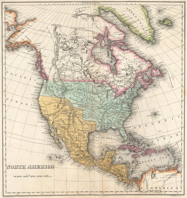
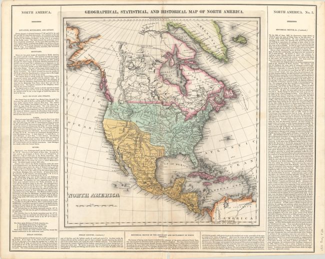
Subject: North America
Period: 1822 (circa)
Publication: A Complete Historical, Chronological, and Geographical American Atlas
Color: Hand Color
Size:
13.2 x 14.1 inches
33.5 x 35.8 cm
Download High Resolution Image
(or just click on image to launch the Zoom viewer)
(or just click on image to launch the Zoom viewer)
This map presents an uncertain border between the U.S. and British Columbia reflecting the Oregon Boundary Dispute. Missouri Territory takes up the entire Pacific Northwest stretching east to the Mississippi River. Texas and the Southwest are still part of Mexico, and Salt Lake is noted. Greenland is depicted as connected to Canada, and Alaska is labeled Tchoukotches. The map is surrounded by columns of text describing the boundaries, topography, natives, and the history of the settlement of North America. Drawn by J. Finlayson and engraved by J. Yeager. Full sheet measures 21.7 x 17.3".
References: Phillips (Maps) p. 599.
Condition: B+
A crisp impression on a bright sheet with some faint staining at bottom. There are archival repairs along the centerfold to several small tears, separations, and one small chip at bottom with a tiny portion of border in facsimile.
Estimate: $240 - $300
Current High Bid:
$180
Reserve: Reserve Met
Next Bid: $190
Bid Increments
$100 - $249$10
$250 - $499$25
$500 - $999$50
$1,000 - $2,499$100
Terms & Conditions