Current Auction
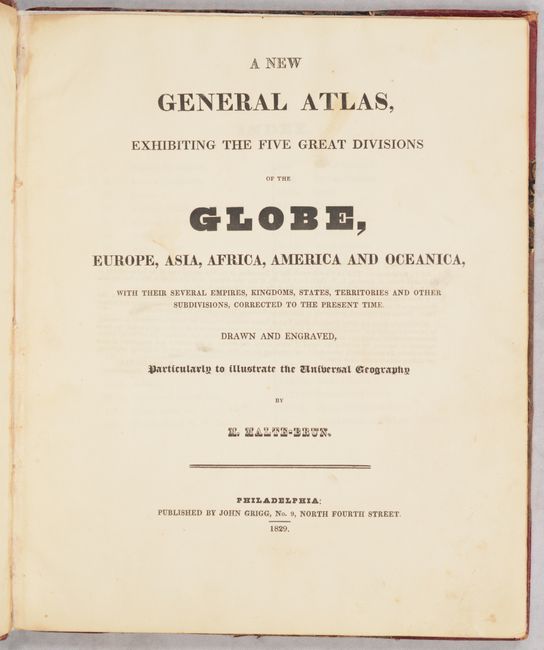
"A New General Atlas, Exhibiting the Five Great Divisions of the Globe, Europe, Asia, Africa, America and Oceanica...", Malte-Brun, Conrad
Subject: Atlases
Period: 1829 (published)
Publication:
Color: Hand Color
Size:
9.7 x 11.8 inches
24.6 x 30 cm
Download High Resolution Image
(or just click on image to launch the Zoom viewer)
(or just click on image to launch the Zoom viewer)
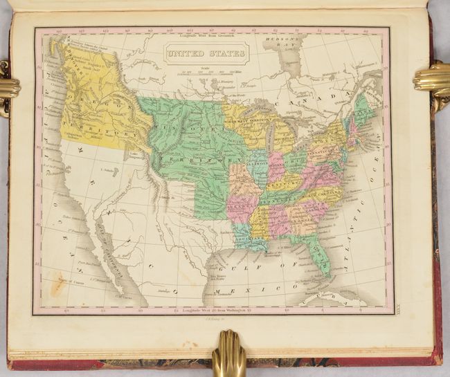
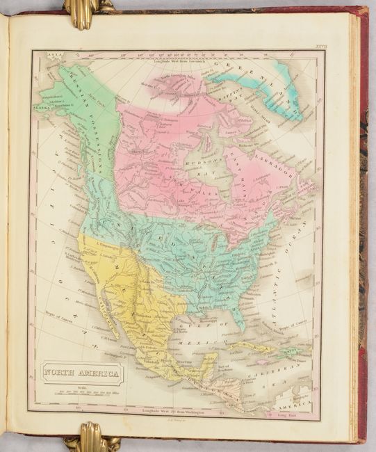
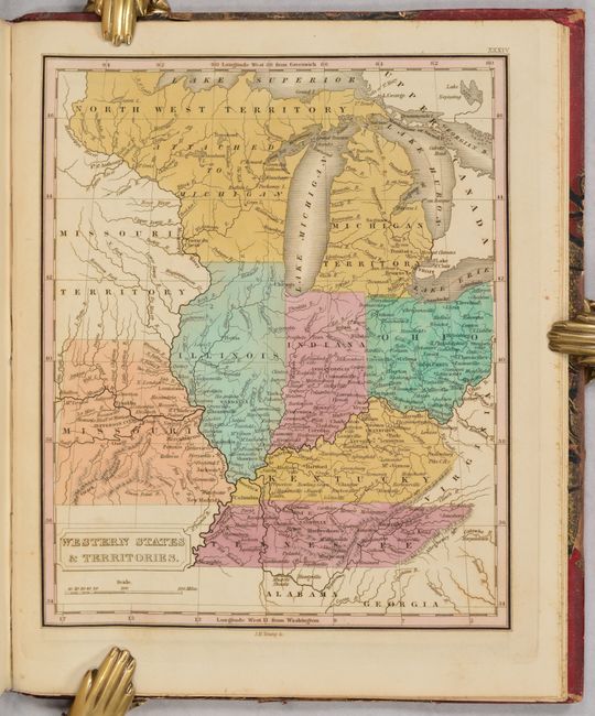
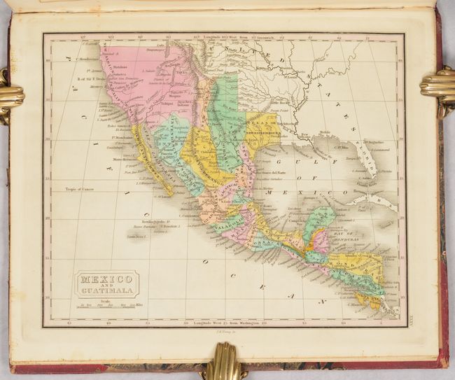
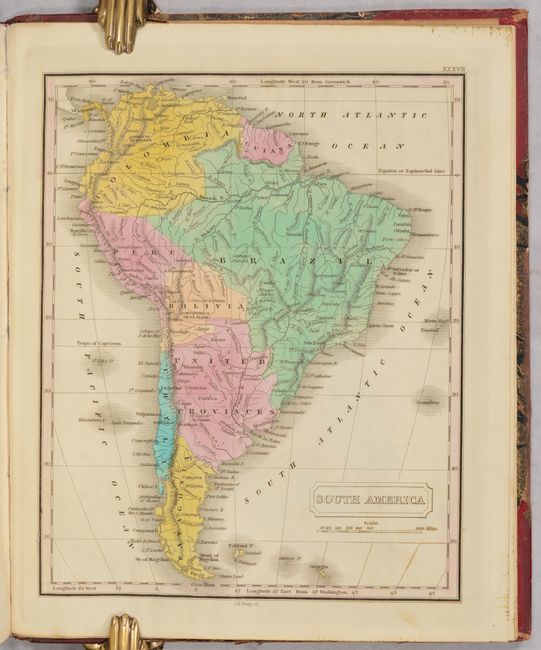
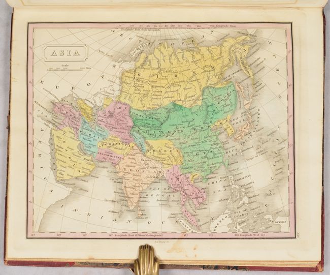
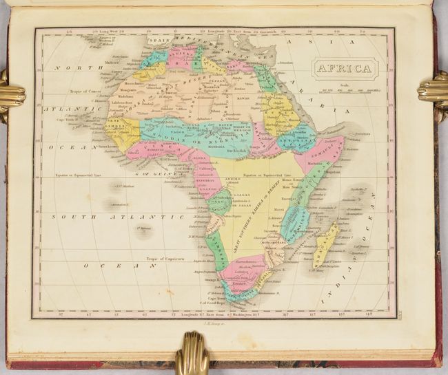
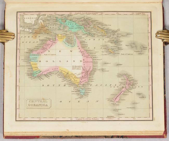
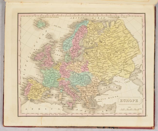
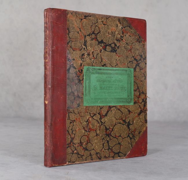
This complete atlas was published in the United States and contains 40 single-page modern maps including the world (2), Europe (11), Asia (7), Oceania (2), Africa (4), North America (10) and South America (4). Of particular interest is the map of the United States, which shows the country following the Missouri Compromise with both the state and territory of Missouri depicted. It shows the U.S. in control of present-day British Columbia with the "Boundary between the United States & Russia settled by Convention April 5th...1824." The boundary with Mexico is per the Treaty of 1819 and includes an unnamed Texas. Missouri Territory encompasses the entire Great Plains from Texas to Canada and from the Mississippi River to the Rocky Mountains. Other territories include Michigan, North West and Arkansas, the capital of which is Little Rock or Arkopolis. The map presents a particularly good view of the rivers and Indian nations in the West. The map of Mexico and Guatimala names present-day eastern Texas as "Texas or New Estremadura." In the Colombia and Guiana map, the mythical Lake Parime still persists. Maps were engraved by James Young and published by John Grigg in Philadelphia. Hardbound in quarter leather with tips over marbled boards.
References:
Condition: B+
Maps are very good to near fine with contemporary color and some occasional soiling and staining mostly in the blank margins. The map of Russia has a repaired edge tear at top that extends 4.5" into the image and two regional maps of Asia have some staining in the image. Contents have been resewn with tissue reinforcement along the hinges. Covers are lightly soiled, scuffed, and worn along the edges.
Estimate: $1,200 - $1,500
Current High Bid:
$0
Reserve: Reserve Not Met
Next Bid: $600
Bid Increments
$500 - $999$50
$1,000 - $2,499$100
$2,500 - $4,999$250
$5,000 - $9,999$500
Terms & Conditions