Current Auction
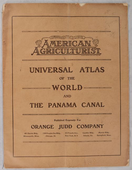
"Universal Atlas of the World and the Panama Canal", Geographical Publishing Co.
Subject: Atlases
Period: 1913 (published)
Publication:
Color: Printed Color
Size:
19 x 24.9 inches
48.3 x 63.2 cm
Download High Resolution Image
(or just click on image to launch the Zoom viewer)
(or just click on image to launch the Zoom viewer)
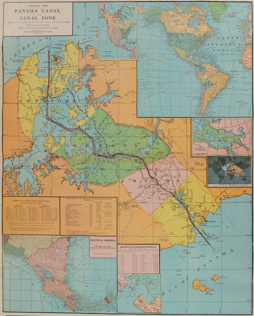
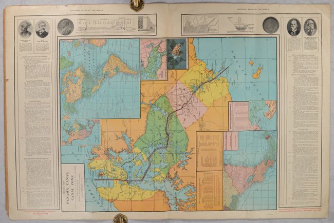
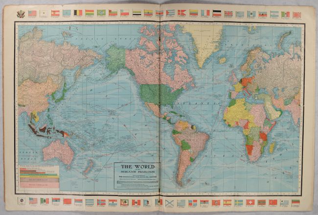
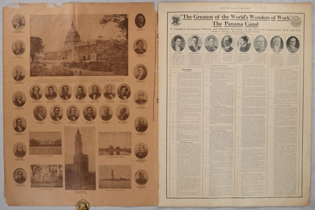
This large-format promotional piece sponsored by the American Agriculturist was issued in advance of the completion of the Panama Canal (1914) and the Panama–Pacific International Exposition in San Francisco (1915). The "atlas" features an attractive double-page centerfold Premier Map Panama Canal and Canal Zone (25 x 20.4") that prominently shows the new canal route in red overprinting along with six inset maps of the Western Hemisphere, North America, Central America, Gulf of Fonseca, and two others. Text flanking the map presents part of the "Complete Synoptical History and Detailed Statement of the Facts of Construction" continued from the previous page. Following the Canal map is a brightly colored The World on the Mercator Projection (34.6 x 21") with various flags lining the map at top and bottom, and single-page maps of the United States, Canada, and New York state. The maps were produced by the Geographical Publishing Company in Chicago on behalf of the Orange Judd Company. Tan paper wrappers.
References:
Condition: B+
Contents are clean and bright with a soft crease throughout and some minor edge tears. Wrappers, which are partially detached from the contents, are lightly soiled and chipped with a crease down the center from having been folded by a previous owner.
Estimate: $200 - $230
Current High Bid:
$150
Reserve: Reserve Met
Next Bid: $160
Bid Increments
$100 - $249$10
$250 - $499$25
$500 - $999$50
$1,000 - $2,499$100
Terms & Conditions