Current Auction
"Mitchell's School Atlas: Comprising the Maps and Tables Designed to Accompany Mitchell's School and Family Geography", Mitchell/Cowperthwait
Subject: School Atlases
Period: 1852 (published)
Publication:
Color: Hand Color
Size:
9.8 x 12 inches
24.9 x 30.5 cm
Download High Resolution Image
(or just click on image to launch the Zoom viewer)
(or just click on image to launch the Zoom viewer)
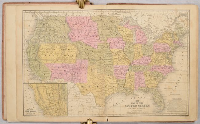
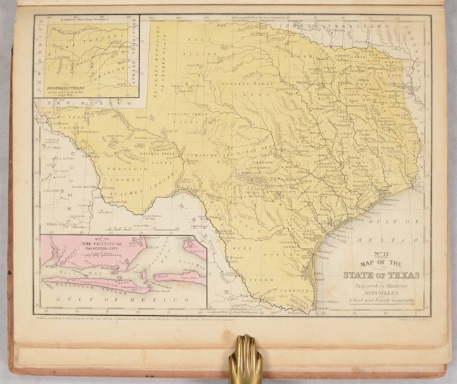
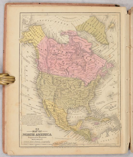
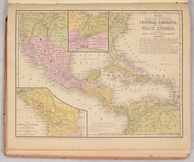
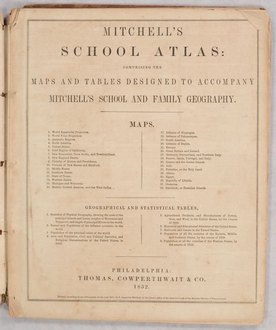
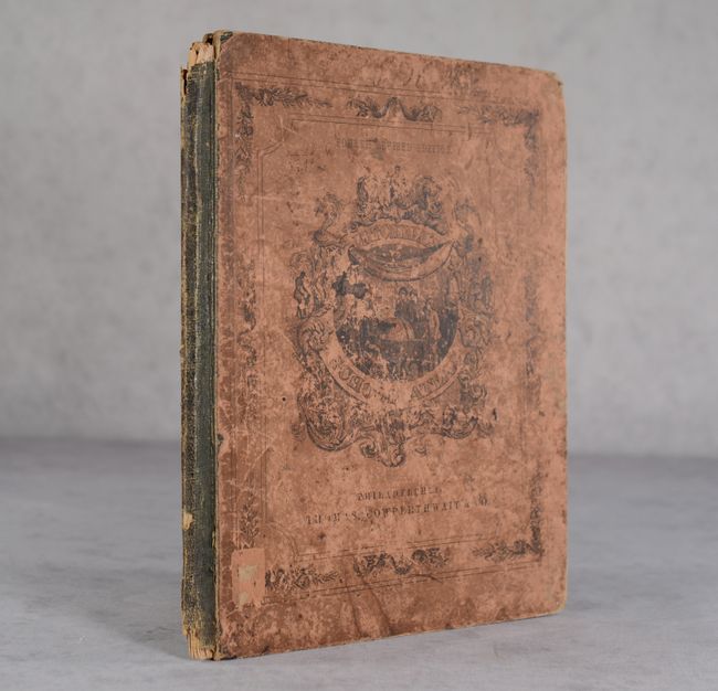
This example of Mitchell's famous school atlas is complete with 32 maps, many double-page, along with tables and statistics. The double-page map of the United States features large Utah, New Mexico, Indian and Missouri territories. Oregon Territory includes present-day Washington and extends to the Continental Divide. This map also features an inset of the Gold Region of California. The atlas also includes the desirable "No. 13 Map of the State of Texas" in its present-day configuration. All maps have blank versos. Disbound with pictorial paper boards present. This is the fourth revised edition, published by Thomas, Cowperthwait & Co.
References:
Condition: B
The maps are mostly good with some light toning, soiling and staining. The map of Texas is very good. There are small ink notations in the left blank margin of the map of Germany/Switzerland. Text block has fully detached from the binding. Covers are heavily worn with chips at the top and bottom of the spine.
Estimate: $180 - $220
Current High Bid:
$0
Reserve: Reserve Not Met
Next Bid: $90
Bid Increments
$50 - $99$5
$100 - $249$10
$250 - $499$25
$500 - $999$50
Terms & Conditions