Current Auction
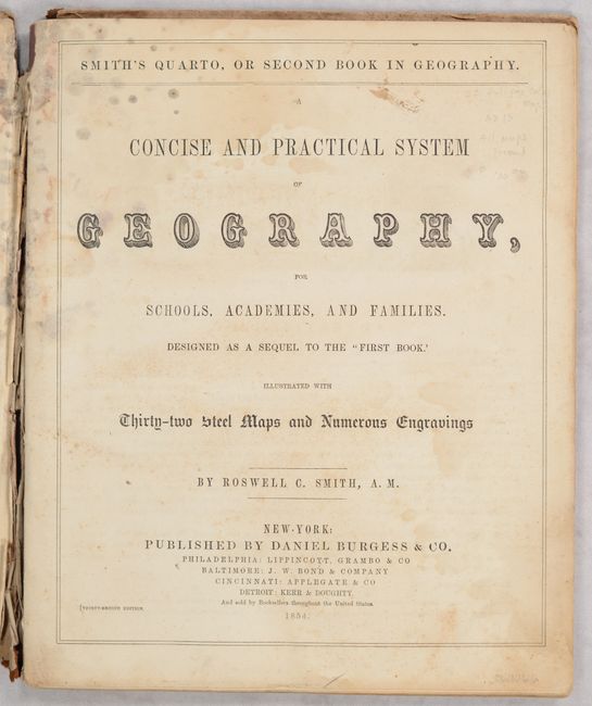
"Smith's Quarto, or Second Book in Geography. A Concise and Practical System of Geography, for Schools, Academies, and Families...", Smith, Roswell C.
Subject: School Atlases
Period: 1854 (published)
Publication:
Color: Hand Color
Size:
9.8 x 12 inches
24.9 x 30.5 cm
Download High Resolution Image
(or just click on image to launch the Zoom viewer)
(or just click on image to launch the Zoom viewer)
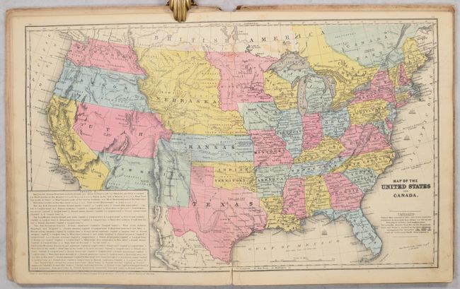
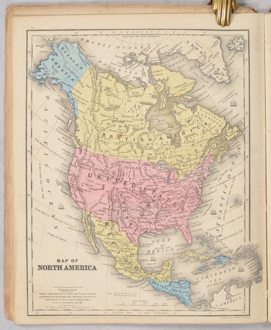
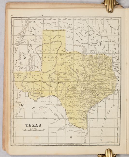
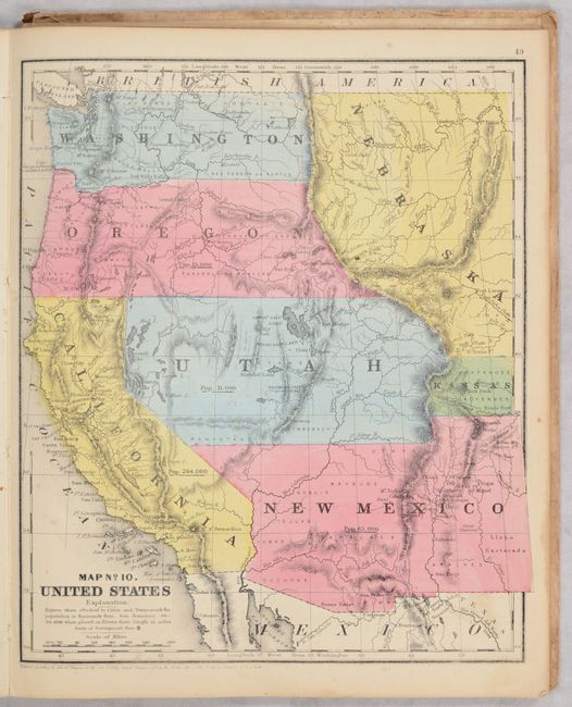
This is the complete thirty-second edition with 32 steel-plate maps and numerous wood engravings in the text. The double-page map of the United States includes Nebraska Territory spanning from the Missouri River to the Rockies, Washington and Oregon territories extending from the Rockies to the Pacific, Kansas Territory with a western extension, and large early Utah and New Mexico territories. Eleven single-page maps show various parts of the U.S. Texas appears alone on a single page, and the western United States is also shown on a single page. Maps published by Daniel Burgess & Co in New York.
References:
Condition: B+
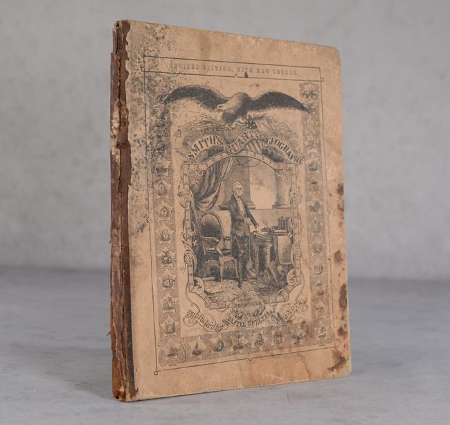
Condition code is for the maps, which are very good to near fine with some occasional minor foxing and soiling. The title page has some moderate staining at top. Both covers are nearly detached and the front cover is stained and soiled.
Estimate: $200 - $230
Current High Bid:
$0
Reserve: Reserve Not Met
Next Bid: $100
Bid Increments
$100 - $249$10
$250 - $499$25
$500 - $999$50
$1,000 - $2,499$100
Terms & Conditions