Current Auction
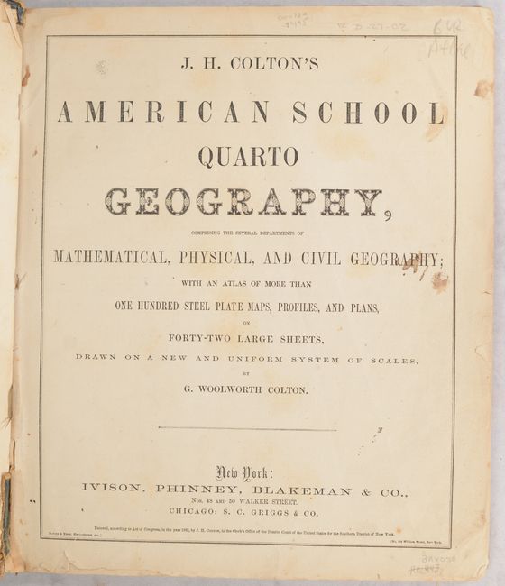
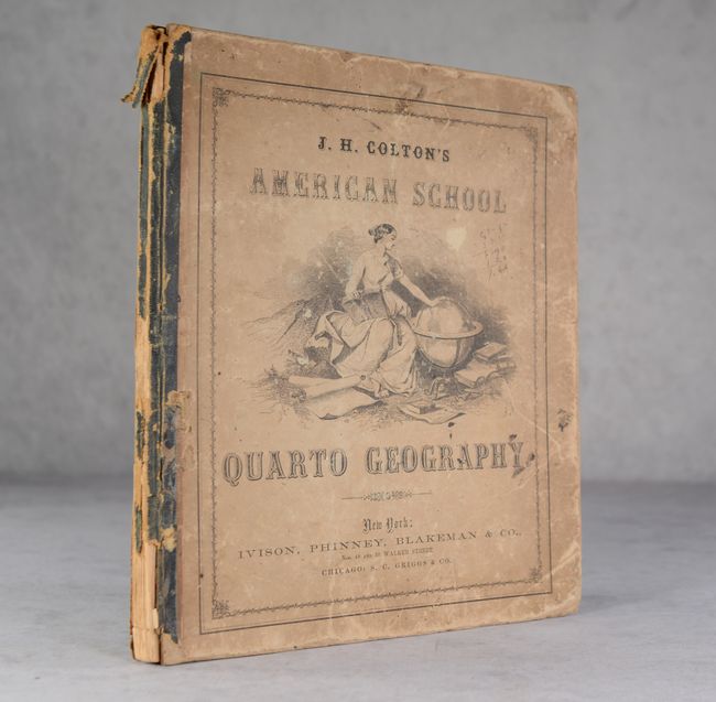
"J.H. Colton's American School Quarto Geography, Comprising the Several Departments of Mathematical, Physical, and Civil Geography..."

Subject: School Atlases
Period: 1865 (published)
Publication:
Color: Hand Color
Size:
11.9 x 13.8 inches
30.2 x 35.1 cm
Download High Resolution Image
(or just click on image to launch the Zoom viewer)
(or just click on image to launch the Zoom viewer)
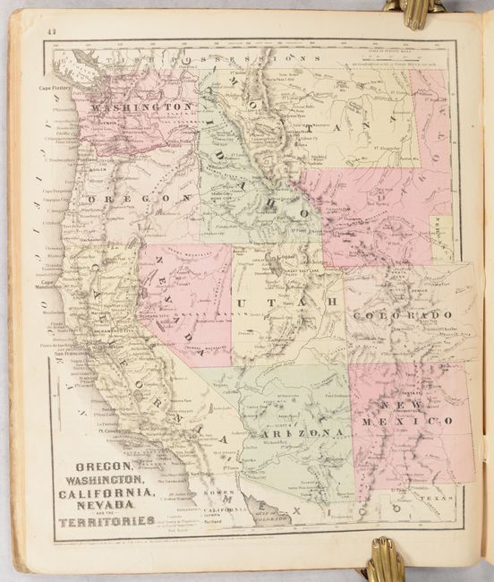
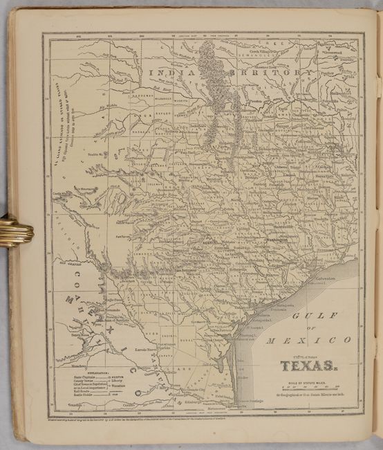
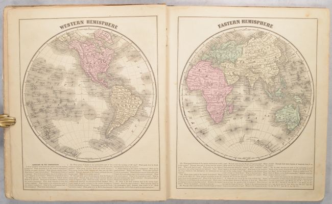
Large quarto-format school atlas with numerous steel plate maps, profiles and plans on 42 large sheets. Includes a nice map of the United States and the West showing the newly formed Nevada and Arizona, with Dakota Territory including the region of present-day Wyoming. As a Civil War-period atlas it is fascinating to find not a single reference to the conflict. 118 pages, hardbound in pictorial paper covers over boards. Published by Ivison, Phinney, Blakeman & Co. in New York.
References:
Condition: B+
The maps are very good to mostly near fine with occasional light toning. The Georgia/Alabama/Florida map has a 1.5" edge tear at left that has been closed on verso with cello tape. Covers are rubbed, soiled, and nearly detached. Spine has perished.
Estimate: $200 - $230
Current High Bid:
$0
Reserve: Reserve Not Met
Next Bid: $100
Bid Increments
$100 - $249$10
$250 - $499$25
$500 - $999$50
$1,000 - $2,499$100
Terms & Conditions