Current Auction
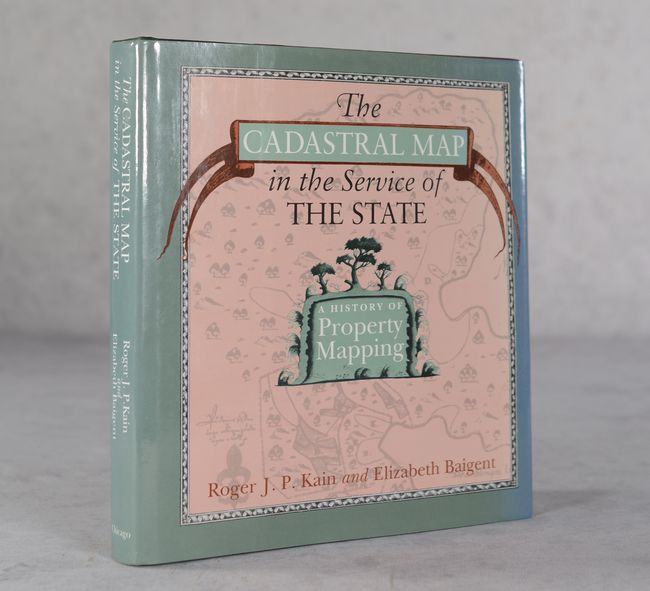
"The Cadastral Map in the Service of the State - A History of Property Mapping"
Subject: References
Period: 1992 (published)
Publication:
Color: Black & White
Size:
8.8 x 9.5 inches
22.4 x 24.1 cm
Download High Resolution Image
(or just click on image to launch the Zoom viewer)
(or just click on image to launch the Zoom viewer)
This informative reference book by Roger Kain and Elizabeth Baigent examines the role of the cadastral map in shaping modern-day Europe. The volume begins by exploring the Roman Empire and then examines mostly western European countries including the Netherlands, France, Germany, England and the Nordic countries. It covers property maps spanning the 17th through 20th centuries and is Illustrated by 127 maps within the text. This book was awarded the 1991 Kenneth Nebenzahl Prize for the best new manuscript in the history of cartography. 432 pages. Hardbound in quarter green cloth over maroon paper boards with gilt title on the spine.
References:
Condition: A
Contents are clean, bright and fine. There is minimal wear to covers and dust jacket.
Estimate: $160 - $190
Current High Bid:
$0
Reserve: Reserve Not Met
Next Bid: $80
Bid Increments
$50 - $99$5
$100 - $249$10
$250 - $499$25
$500 - $999$50
Terms & Conditions