Current Auction
Rare AT&T Map Showing Phone Lines in the Early Days of the 20th Century
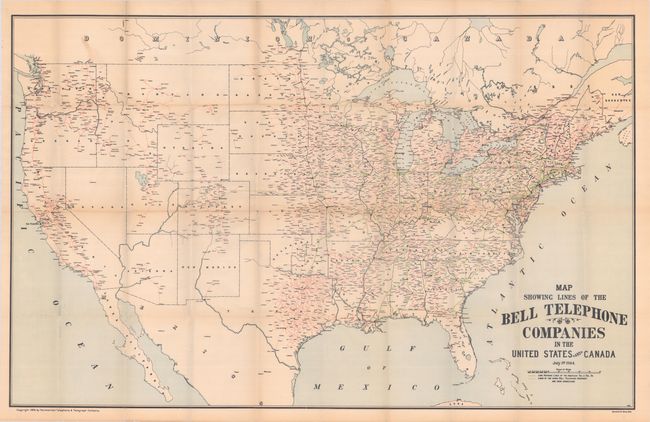
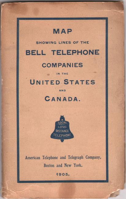
"Map Showing Lines of the Bell Telephone Companies in the United States and Canada"
Subject: United States & Canada
Period: 1905 (dated)
Publication:
Color: Printed Color
Size:
39.3 x 25.1 inches
99.8 x 63.8 cm
Download High Resolution Image
(or just click on image to launch the Zoom viewer)
(or just click on image to launch the Zoom viewer)
This rare map of the United States was issued by the American Telephone and Telegraph Company (AT&T). It shows long distance lines in green and lines of other Bell Telephone companies in red. The map provides a most interesting look at the growth of the telephone system with good coverage on the East Coast, less so in the West. Only one connection between the coasts exists through Omaha to Denver. Coverage in Canada extends as far as Edmonton. This example is loose from printed wrappers, which are still included in lot. On verso of wrappers is a chart showing the growth in telephones, noting that 1 in 42 households had a telephone, and 45 messages were transmitted for each inhabitant annually! We have only listed this fascinating marketing map once before, in 2005, and have found no other examples on the market.
References:
Condition: B+
Issued folding with a number of short fold separations, most of which have been closed with archival tape on verso. There is a small chip (less than 0.5" in length) in Washington state that has been infilled with paper, with a small amount of loss to map image. Detached wrappers are lightly toned with chipped lower corners, a few small stains, and a fold separation that has been closed on verso with archival tape.
Estimate: $500 - $650
Current High Bid:
$0
Reserve: Reserve Not Met
Next Bid: $250
Bid Increments
$250 - $499$25
$500 - $999$50
$1,000 - $2,499$100
$2,500 - $4,999$250
Terms & Conditions