Showing Featured Lots(remove filter)
Filtered by Category:Pacific Ocean, New Zealand, Australia(Show All Categories)
Catalog Archive
158 lots
Page 1 of 4
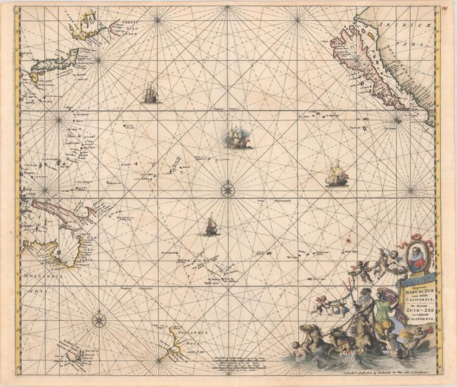
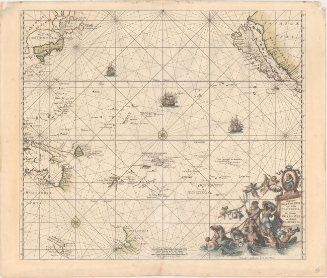
Auction 195, Lot 778
Subject: Pacific Ocean, California
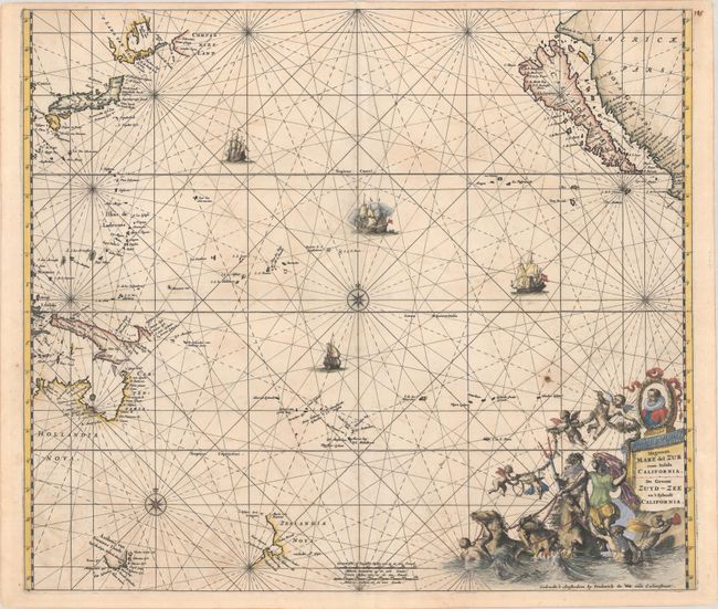
Ottens, Reiner and Joshua
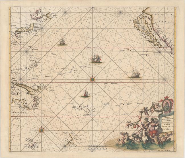
Magnum Mare del Zur cum Insula California / De Groote Zuyd-Zee en 't Eylandt California, 1745
Size: 22.4 x 19.3 inches (56.9 x 49 cm)
Estimate: $1,500 - $1,800
One of the Finest Charts Showing California as an Island
Sold for: $2,750
Closed on 11/15/2023
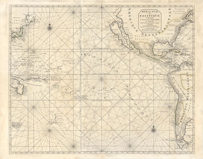
Auction 194, Lot 683
Subject: Pacific Ocean
Covens & Mortier
Mer de Sud, ou Pacifique, Contenant l'Isle de Californe, les Costes de Mexique, du Perou, Chili, et le Destroit de Magellanique &c..., 1721
Size: 29.3 x 23.5 inches (74.4 x 59.7 cm)
Estimate: $2,000 - $2,400
Dramatic Sea Chart Featuring the Island of California
Unsold
Closed on 9/13/2023
Auction 192, Lot 682
Subject: Pacific Ocean
Covens & Mortier
Mer de Sud, ou Pacifique, Contenant l'Isle de Californe, les Costes de Mexique, du Perou, Chili, et le Destroit de Magellanique &c..., 1721
Size: 29.3 x 23.5 inches (74.4 x 59.7 cm)
Estimate: $2,400 - $3,000
Dramatic Sea Chart Featuring the Island of California
Unsold
Closed on 4/26/2023
Auction 192, Lot 694
Subject: New Zealand
Cook/Benard
Carte de la Nle. Zelande Visitee en 1769 et 1770. Par le Lieutenant J. Cook Commandant de l'Endeavour Vaisseau de sa Majeste, 1785
Size: 14.8 x 18.9 inches (37.6 x 48 cm)
Estimate: $1,200 - $1,500
Cook's Landmark Map of New Zealand
Sold for: $900
Closed on 4/26/2023
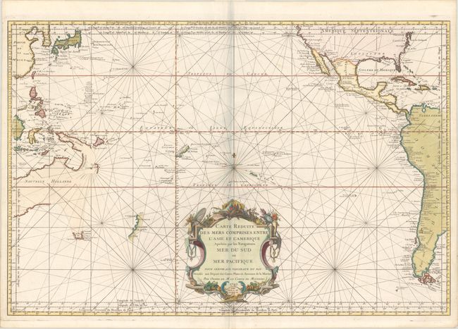
Auction 191, Lot 764
Subject: Pacific Ocean
Bellin, Jacques Nicolas
Carte Reduite des Mers Comprises Entre l'Asie et l'Amerique Apelees par les Navigateurs Mer du Sud ou Mer Pacifique..., 1756
Size: 33.4 x 22.3 inches (84.8 x 56.6 cm)
Estimate: $1,100 - $1,400
Bellin's Large Chart of the Pacific Ocean with Partial Coastlines
Sold for: $800
Closed on 2/8/2023
Auction 189, Lot 671
Subject: Pacific Ocean
Jansson, Jan
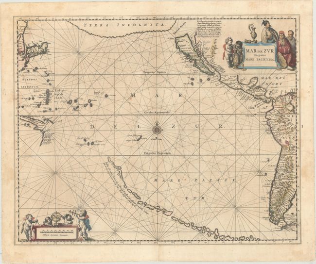
Mar del Zur Hispanis Mare Pacificum, 1650
Size: 21.4 x 17.3 inches (54.4 x 43.9 cm)
Estimate: $1,600 - $1,900
First State in Full Contemporary Color
Sold for: $800
Closed on 9/14/2022
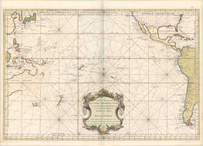
Auction 189, Lot 673
Subject: Pacific Ocean
Bellin, Jacques Nicolas
Carte Reduite des Mers Comprises Entre l'Asie et l'Amerique Apelees par les Navigateurs Mer du Sud ou Mer Pacifique..., 1756
Size: 33.4 x 22.3 inches (84.8 x 56.6 cm)
Estimate: $1,400 - $1,700
Bellin's Large Chart of the Pacific Ocean with Partial Coastlines
Unsold
Closed on 9/14/2022
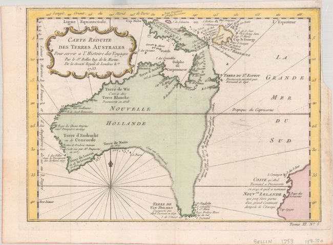
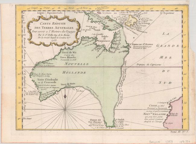
Auction 189, Lot 685
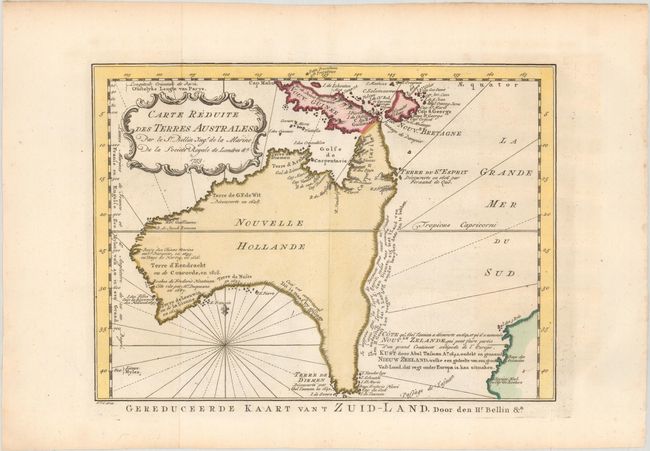
Subject: Australia
Bellin, Jacques Nicolas
Carte Reduite des Terres Australes pour Servir a l'Histoire des Voyages, 1753
Size: 10.9 x 7.9 inches (27.7 x 20.1 cm)
Estimate: $1,000 - $1,300
A Rare Pre-Cook Map Focusing on Australia
Sold for: $700
Closed on 9/14/2022
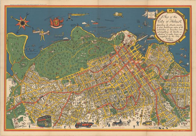
Auction 188, Lot 746
Subject: Hobart, Tasmania
A Map of the City of Hobart Depicting Its Streets, Parks & Chief Buildings, Some of Its Activities & Beauties Not Forgetting Its "Double Deckers" & Motor Buses as Supplied by the City Fathers, 1927
Size: 37 x 25 inches (94 x 63.5 cm)
Estimate: $1,500 - $1,900
Very Rare Bird's-Eye Plan of Hobart
Sold for: $1,000
Closed on 6/22/2022
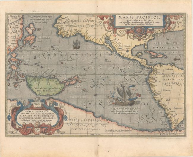
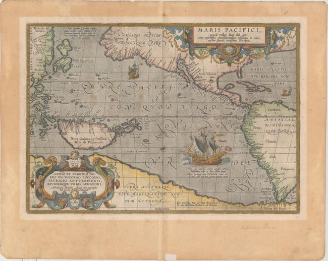
Auction 187, Lot 677
Subject: Pacific Ocean, Western Hemisphere
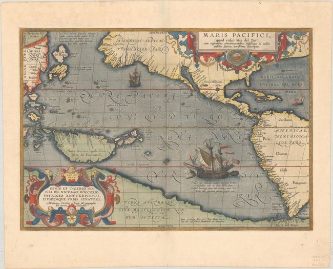
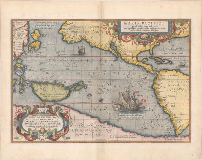
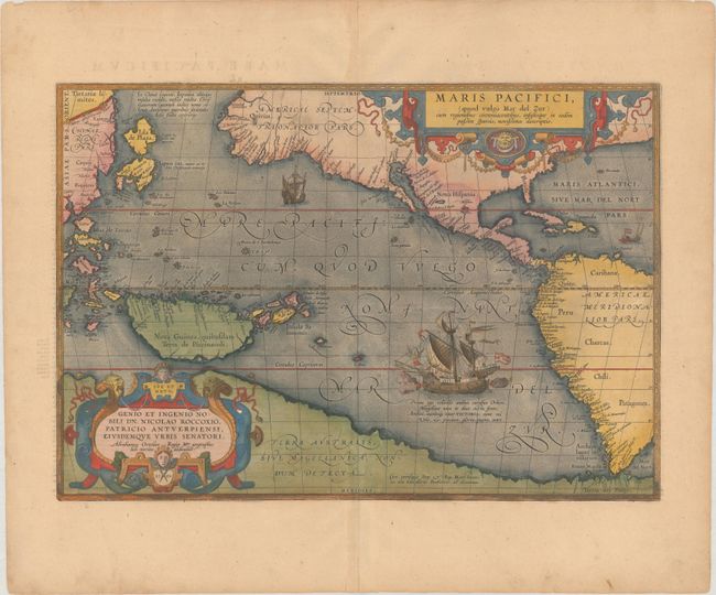
Ortelius, Abraham
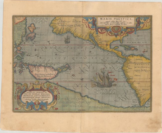
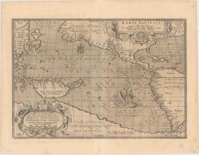
Maris Pacifici, (quod Vulgo Mar del Zur) cum Regionibus Circumiacentibus, Insulisque in Eodem Passim Sparsis, Novissima Descriptio, 1589
Size: 19.4 x 13.4 inches (49.3 x 34 cm)
Estimate: $8,000 - $9,500
The First Printed Map Devoted to the Pacific
Sold for: $5,000
Closed on 4/27/2022
Auction 187, Lot 678
Subject: Pacific Ocean
Jansson, Jan
Mar del Zur Hispanis Mare Pacificum, 1650
Size: 21.4 x 17.3 inches (54.4 x 43.9 cm)
Estimate: $1,400 - $1,700
Scarce First State in Full Contemporary Color
Sold for: $800
Closed on 4/27/2022
Auction 187, Lot 679
Subject: Pacific Ocean, California
Wit, Frederick de
Magnum Mare del Zur cum Insula California / De Groote Zuyd-Zee en 't Eylandt California, 1680
Size: 22.3 x 19.4 inches (56.6 x 49.3 cm)
Estimate: $2,200 - $2,500
First State of One of the Finest Charts Showing California as an Island
Sold for: $1,400
Closed on 4/27/2022
Auction 187, Lot 689
Subject: Australia
Bellin, Jacques Nicolas
Carte Reduite des Terres Australes pour Servir a l'Histoire des Voyages, 1753
Size: 10.9 x 7.9 inches (27.7 x 20.1 cm)
Estimate: $1,100 - $1,400
A Rare Pre-Cook Map Focusing on Australia
Unsold
Closed on 4/27/2022
Auction 186, Lot 737
Subject: Pacific Ocean
Mortier, Pierre
Mer de Sud, ou Pacifique, Contenant l'Isle de Californe, les Costes de Mexique, du Perou, Chili, et le Destroit de Magellanique &c., 1700
Size: 29.3 x 23.5 inches (74.4 x 59.7 cm)
Estimate: $3,000 - $3,750
Dramatic Sea Chart Featuring the Island of California
Sold for: $1,800
Closed on 2/9/2022
Auction 185, Lot 721
Subject: Pacific Ocean, Western Hemisphere
Ortelius, Abraham
Maris Pacifici, (quod Vulgo Mar del Zur) cum Regionibus Circumiacentibus, Insulisque in Eodem Passim Sparsis, Novissima Descriptio, 1589
Size: 19.5 x 13.5 inches (49.5 x 34.3 cm)
Estimate: $8,000 - $9,500
The First Printed Map Devoted to the Pacific - Full Contemporary Color
Sold for: $6,500
Closed on 11/17/2021
Auction 185, Lot 722
Subject: Pacific Ocean, California
Wit, Frederick de
Magnum Mare del Zur cum Insula California / De Groote Zuyd-Zee en 't Eylandt California, 1680
Size: 22.3 x 19.4 inches (56.6 x 49.3 cm)
Estimate: $2,400 - $3,000
First State of One of the Finest Charts Showing California as an Island
Unsold
Closed on 11/17/2021
Auction 184, Lot 729
Subject: Pacific Ocean
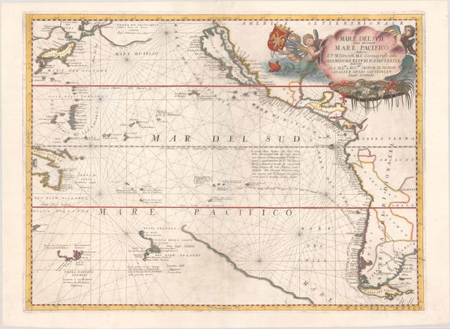
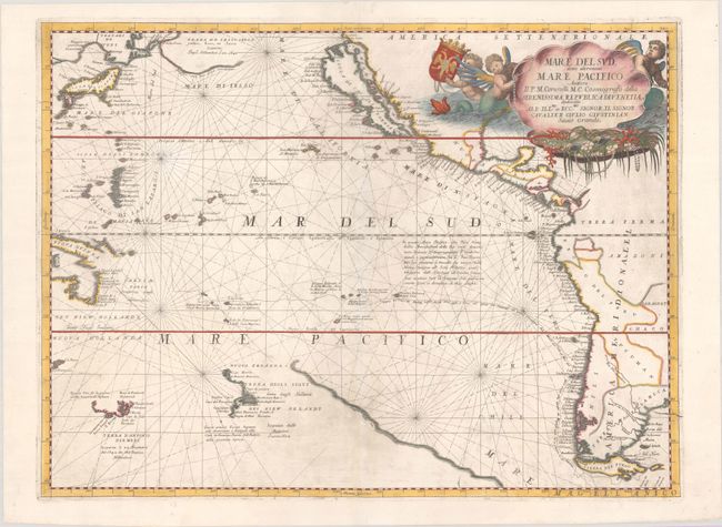
Coronelli, Vincenzo Maria
Mare del Sud, Detto Altrimenti Mare Pacifico..., 1697
Size: 24 x 17.8 inches (61 x 45.2 cm)
Estimate: $2,300 - $2,750
Superb Map of the Pacific Showing the Island of California
Sold for: $2,100
Closed on 9/15/2021
Auction 184, Lot 746
Subject: New Zealand
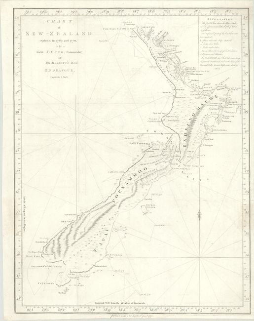
Cook, James (Capt.)
Chart of New-Zealand, Explored in 1769 and 1770, 1772
Size: 15.2 x 19.6 inches (38.6 x 49.8 cm)
Estimate: $2,000 - $2,300
Rare English Edition of Cook's Landmark Map of New Zealand
Sold for: $2,300
Closed on 9/15/2021
Auction 183, Lot 523
Subject: Pacific Ocean, Western Hemisphere
Ortelius, Abraham
Maris Pacifici, (quod Vulgo Mar del Zur) cum Regionibus Circumiacentibus, Insulisque in Eodem Passim Sparsis, Novissima Descriptio, 1589
Size: 19.6 x 13.6 inches (49.8 x 34.5 cm)
Estimate: $8,000 - $9,500
The First Printed Map Devoted to the Pacific
Sold for: $6,000
Closed on 6/9/2021
Auction 182, Lot 738
Subject: Pacific Ocean
Coronelli, Vincenzo Maria
Mare del Sud, Detto Altrimenti Mare Pacifico..., 1697
Size: 24 x 17.8 inches (61 x 45.2 cm)
Estimate: $2,400 - $3,000
Superb Map of the Pacific Showing the Island of California
Unsold
Closed on 4/28/2021
Auction 182, Lot 743
Subject: South Pacific Ocean, Australia, & New Zealand
Valentyn, Francois
Kaart der Reyse van Abel Tasman Volgens syn Eygen Opstel, 1726
Size: 18.1 x 11.9 inches (46 x 30.2 cm)
Estimate: $6,000 - $7,500
A Cornerstone Piece in the Mapping of Australia and New Zealand
Sold for: $5,000
Closed on 4/28/2021
Auction 181, Lot 702
Subject: New Zealand
Cook, James (Capt.)
Chart of New-Zealand, Explored in 1769 and 1770, 1772
Size: 15 x 19.3 inches (38.1 x 49 cm)
Estimate: $2,000 - $2,300
Rare English Edition of Cook's Landmark Map of New Zealand
Sold for: $3,750
Closed on 2/10/2021
Auction 180, Lot 742
Subject: Pacific Ocean, Western Hemisphere
Ortelius, Abraham
Maris Pacifici, (quod Vulgo Mar del Zur), cum Regionibus Circumiacentibus, Insulisque in Eodem Passim Sparsis, Novissima Descriptio, 1589
Size: 19.6 x 13.6 inches (49.8 x 34.5 cm)
Estimate: $7,500 - $9,000
The First Printed Map Devoted to the Pacific in Full Contemporary Color
Sold for: $5,500
Closed on 11/18/2020
Auction 180, Lot 743
Subject: Pacific Ocean
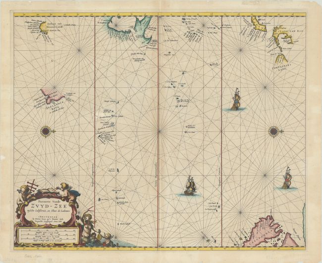
Goos, Pieter
Pascaerte vande Zuyd-Zee Tussche California, en Ilhas de Ladrones, 1666
Size: 21.4 x 17.5 inches (54.4 x 44.5 cm)
Estimate: $2,400 - $3,000
Goos' Chart of the Pacific Featuring the Island of California and Recent Discoveries in the Region
Sold for: $1,800
Closed on 11/18/2020
Auction 178, Lot 544
Subject: Australia
Bellin/Van Schley
Carte Reduite des Terres Australes, 1753
Size: 10.8 x 7.9 inches (27.4 x 20.1 cm)
Estimate: $900 - $1,100
A Rare Pre-Cook Map Focusing on Australia
Sold for: $900
Closed on 6/10/2020
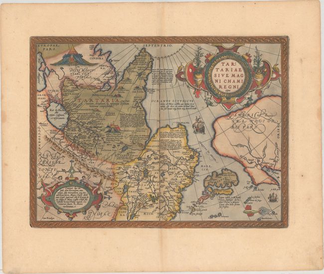
Auction 177, Lot 717
Subject: North Pacific Ocean
Ortelius, Abraham
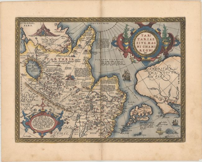
Tartariae sive Magni Chami Regni Typus, 1571
Size: 18.6 x 13.8 inches (47.2 x 35.1 cm)
Estimate: $1,100 - $1,400
An Exquisite Example in Black & White
Sold for: $800
Closed on 4/29/2020
Auction 176, Lot 682
Subject: Pacific Ocean, Western Hemisphere
Ortelius, Abraham
Maris Pacifici, (quod Vulgo Mar del Zur), cum Regionibus Circumiacentibus, Insulisque in Eodem Passim Sparsis, Novissima Descriptio, 1589
Size: 19.6 x 13.6 inches (49.8 x 34.5 cm)
Estimate: $7,500 - $9,000
The First Printed Map Devoted to the Pacific in Full Contemporary Color
Sold for: $5,500
Closed on 2/12/2020
Auction 176, Lot 683
Subject: Pacific Ocean, Western Hemisphere
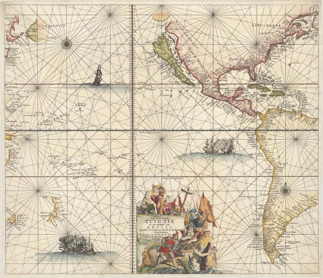
Keulen, Johannes van
Pascaert vande Zuyd Zee en een Gedeelte van Brasil van Ilhas de Ladronos tot R. de la Plata, 1680
Size: 23.6 x 20.4 inches (59.9 x 51.8 cm)
Estimate: $4,000 - $5,000
Superb Sea Chart of the Pacific with the Island of California
Sold for: $6,000
Closed on 2/12/2020
Auction 176, Lot 684
Subject: Pacific Ocean
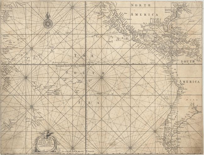
Mount & Page
A Generall Chart of the South Sea from the River of Plate to Dampiers Streights on ye Coast of New Guinea, 1721
Size: 22.7 x 17.2 inches (57.7 x 43.7 cm)
Estimate: $6,000 - $7,500
One of the First Charts of the Pacific Published in England
Sold for: $4,500
Closed on 2/12/2020
Auction 174, Lot 771
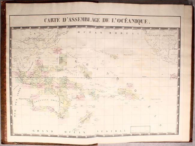
Subject: Pacific Ocean, Atlas
Vandermaelen, Philippe Marie Guillaume
Atlas Universel de Geographie Physique, Politique, Statistique et Mineralogique...Sixieme Partie. - Oceanique, 1827
Size: 14.9 x 21.8 inches (37.8 x 55.4 cm)
Estimate: $4,000 - $5,000
Vandermaelen's Remarkable Atlas of Oceania
Sold for: $3,000
Closed on 9/11/2019
Auction 173, Lot 436
Subject: Pacific Ocean, California
Renard/De Wit
Magnum Mare del Zur cum Insula California / De Groote Zuyd-Zee en 't Eylandt California, 1715
Size: 22.3 x 19.4 inches (56.6 x 49.3 cm)
Estimate: $2,300 - $2,750
One of the Finest Charts Showing California as an Island
Unsold
Closed on 6/5/2019
Auction 171, Lot 736
Subject: Eastern Australia
Cook, James (Capt.)
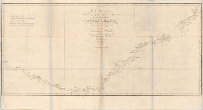
A Chart of New South Wales, or the East Coast of New-Holland. Discover'd and Explored by Lieutenant J. Cook, Commander of His Majesty's Bark Endeavour, in the Year MDCCLXX, 1773
Size: 30.9 x 14.3 inches (78.5 x 36.3 cm)
Estimate: $1,400 - $1,700
First Chart of the East Coast of Australia
Sold for: $800
Closed on 2/6/2019
Auction 170, Lot 676
Subject: Pacific Ocean
Jansson, Jan
Mar del Zur Hispanis Mare Pacificum, 1650
Size: 21.6 x 17.4 inches (54.9 x 44.2 cm)
Estimate: $1,900 - $2,200
Scarce First State
Sold for: $1,000
Closed on 11/14/2018
Auction 169, Lot 749
Subject: Pacific Ocean
Ortelius, Abraham
Maris Pacifici, (quod Vulgo Mar del Zur) cum Regionibus Circumiacentibus, Insulisque in Eodem Passim Sparsis, Novissima Descriptio, 1589
Size: 19.4 x 13.4 inches (49.3 x 34 cm)
Estimate: $8,000 - $10,000
The First Printed Map Devoted to the Pacific in Full Contemporary Color
Sold for: $5,700
Closed on 9/12/2018
Auction 167, Lot 412
Subject: Pacific Ocean
Ortelius, Abraham
Maris Pacifici, (quod Vulgo Mar del Zur) cum Regionibus Circumiacentibus, Insulisque in Eodem Passim Sparsis, Novissima Descriptio, 1589
Size: 19.4 x 13.4 inches (49.3 x 34 cm)
Estimate: $8,000 - $10,000
The First Printed Map Devoted to the Pacific in Full Contemporary Color
Unsold
Closed on 3/28/2018
Auction 166, Lot 717
Subject: Pacific Ocean
Ortelius, Abraham
Maris Pacifici, (quod Vulgo Mar del Zur) cum Regionibus Circumiacentibus, Insulisque in Eodem Passim Sparsis, Novissima Descriptio, 1589
Size: 19.6 x 13.6 inches (49.8 x 34.5 cm)
Estimate: $7,500 - $8,500
The First Printed Map Devoted to the Pacific
Unsold
Closed on 2/14/2018
Auction 165, Lot 727
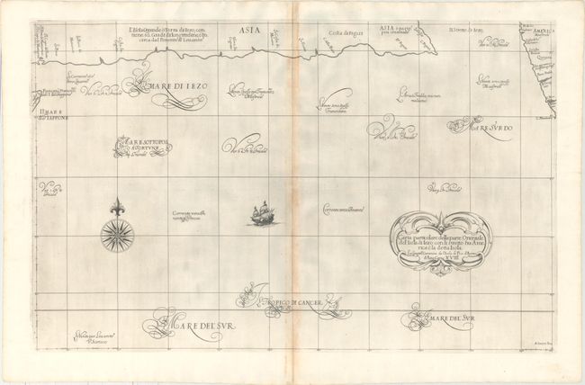
Subject: North Pacific Ocean
Dudley, Robert (Sir)
Carta Particolare della Parte Orientale del' Isola di Iezo con li Stretto fra America e la detta Isola ... d'Asia Carta XVIII, 1647
Size: 29.8 x 18.7 inches (75.7 x 47.5 cm)
Estimate: $1,300 - $1,600
Rare First Edition Showing the Northwest Coast of North America and an Elongated Hokkaido
Sold for: $800
Closed on 11/15/2017
Auction 164, Lot 715
Subject: Pacific Ocean
Ortelius, Abraham
Maris Pacifici, (quod Vulgo Mar del Zur) cum Regionibus Circumiacentibus, Insulisque in Eodem Passim Sparsis, Novissima Descriptio, 1589
Size: 19.6 x 13.6 inches (49.8 x 34.5 cm)
Estimate: $7,500 - $8,500
The First Printed Map Devoted to the Pacific
Unsold
Closed on 9/13/2017
Auction 164, Lot 716
Subject: Pacific Ocean, California
Ottens, Reiner and Joshua
Magnum Mare del Zur cum Insula California / De Groote Zuyd-Zee en 't Eylandt California, 1745
Size: 22.4 x 19.3 inches (56.9 x 49 cm)
Estimate: $2,200 - $2,500
One of the Finest Charts Showing California as an Island
Sold for: $1,100
Closed on 9/13/2017
Auction 163, Lot 427
Subject: Pacific Ocean
Ortelius, Abraham
Maris Pacifici, (quod Vulgo Mar del Zur) cum Regionibus Circumiacentibus, Insulisque in Eodem Passim Sparsis, Novissima Descriptio, 1589
Size: 19.4 x 13.4 inches (49.3 x 34 cm)
Estimate: $8,000 - $9,000
The First Printed Map Devoted to the Pacific
Sold for: $5,000
Closed on 6/14/2017
Auction 162, Lot 734
Subject: Pacific Ocean, California
Wit, Frederick de
Magnum Mare del Zur cum Insula California / De Groote Zuyd-Zee en 't Eylandt California, 1680
Size: 22.4 x 19.4 inches (56.9 x 49.3 cm)
Estimate: $2,750 - $3,500
First State of One of the Finest Charts Showing California as an Island
Sold for: $1,800
Closed on 4/26/2017
Auction 162, Lot 735
Subject: Pacific Ocean
Ortelius, Abraham
Maris Pacifici, (quod Vulgo Mar del Zur) cum Regionibus Circumiacentibus, Insulisque in Eodem Passim Sparsis, Novissima Descriptio, 1589
Size: 19.5 x 13.6 inches (49.5 x 34.5 cm)
Estimate: $8,000 - $9,000
The First Printed Map Devoted to the Pacific
Sold for: $5,300
Closed on 4/26/2017
Auction 162, Lot 737
Subject: North Pacific Ocean
Scherer, Heinrich
[North Pacific Ocean] Fol. I.D. Fig. I, 1700
Size: 13.6 x 9.2 inches (34.5 x 23.4 cm)
Estimate: $800 - $950
A Unique Mirror Image of the North Pacific with the Island of California
Sold for: $600
Closed on 4/26/2017
Auction 161, Lot 732
Subject: North Pacific, Northern Asia & Northwestern North America
Ortelius, Abraham
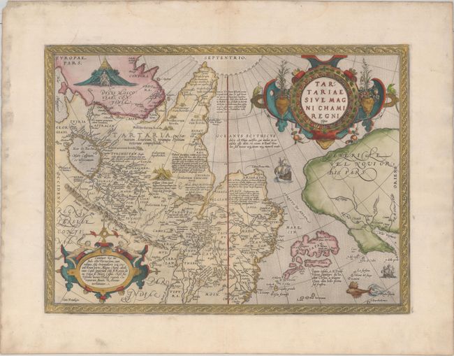
Tartariae sive Magni Chami Regni Typus, 1603
Size: 18.7 x 13.9 inches (47.5 x 35.3 cm)
Estimate: $950 - $1,200
The Earliest Printed Map to Focus on the North Pacific
Sold for: $750
Closed on 2/8/2017
Auction 160, Lot 772
Subject: Pacific Ocean
Ortelius, Abraham
Maris Pacifici, (quod Vulgo Mar del Zur) cum Regionibus Circumiacentibus, Insulisque in Eodem Passim Sparsis, Novissima Descriptio, 1589
Size: 19.5 x 13.6 inches (49.5 x 34.5 cm)
Estimate: $8,000 - $9,000
The First Printed Map Devoted to the Pacific
Unsold
Closed on 11/16/2016
Auction 160, Lot 773
Subject: Pacific Ocean
Jansson, Jan
Mar del Zur Hispanis Mare Pacificum, 1650
Size: 21.4 x 17.3 inches (54.4 x 43.9 cm)
Estimate: $1,600 - $1,900
Scarce First State
Unsold
Closed on 11/16/2016
Auction 160, Lot 774
Subject: Pacific Ocean, California
Wit, Frederick de
Magnum Mare del Zur cum Insula California / De Groote Zuyd-Zee en 't Eylandt California, 1680
Size: 22.4 x 19.4 inches (56.9 x 49.3 cm)
Estimate: $2,750 - $3,500
First State of One of the Finest Charts Showing California as an Island
Unsold
Closed on 11/16/2016
Auction 160, Lot 777
Subject: North Pacific, Northern Asia & Northwestern North America
Ortelius, Abraham
Tartariae sive Magni Chami Regni Typus, 1592
Size: 18.6 x 13.7 inches (47.2 x 34.8 cm)
Estimate: $1,000 - $1,300
The Earliest Printed Map to Focus on the North Pacific
Sold for: $700
Closed on 11/16/2016
Auction 159, Lot 706
Subject: Pacific Ocean, California
Renard/De Wit
Magnum Mare del Zur cum Insula California / De Groote Zuyd-Zee en 't Eylandt California, 1715
Size: 22.4 x 19.4 inches (56.9 x 49.3 cm)
Estimate: $2,750 - $3,500
One of the Finest Charts Showing California as an Island
Sold for: $1,500
Closed on 9/14/2016
Auction 159, Lot 710
Subject: North Pacific, Northern Asia & Northwestern North America
Ortelius, Abraham
Tartariae sive Magni Chami Regni Typus, 1571
Size: 18.7 x 13.8 inches (47.5 x 35.1 cm)
Estimate: $1,200 - $1,500
The Earliest Printed Map to Focus on the North Pacific - First State
Sold for: $700
Closed on 9/14/2016
158 lots
Page 1 of 4


