Showing Featured Lots(remove filter)
Filtered by Category:United States(Show All Categories)
Showing results for:Auction 193
Catalog Archive
18 lots
Auction 193, Lot 116
Subject: Colonial Eastern United States & Canada
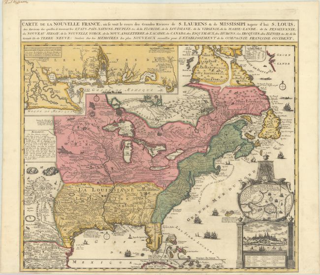
Fer, Nicolas de
Carte de la Nouvelle France, ou se Voit le Cours des Grandes Rivieres de S. Laurens & de Mississipi Aujour d'hui S. Louis, aux Environs des-quelles se Trouvent les Etats, Pais, Nations, Peuples &c. de la Floride..., 1720
Size: 21.5 x 19.6 inches (54.6 x 49.8 cm)
Estimate: $2,400 - $3,000
Striking Map of French Colonial Possessions in Full Contemporary Color
Sold for: $3,000
Closed on 6/21/2023
Auction 193, Lot 119
Subject: Colonial Eastern United States & Canada
Beaurain, Jean Chev. De
Carte de l'Amerique Septle pour Servir a l'Intelligence de la Guerre Entre les Anglois et les Insurgents, 1777
Size: 24.4 x 16.4 inches (62 x 41.7 cm)
Estimate: $7,000 - $8,500
Important Map Published Just Prior to France's Entrance in the Revolutionary War
Sold for: $5,000
Closed on 6/21/2023
Auction 193, Lot 131
Subject: United States, Gold
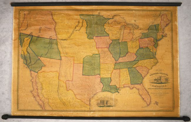
Reed & Barber
Map of the United States of America with Its Territories & Districts, Including Also a Part of Upper & Lower Canada and Mexico, 1851
Size: 41 x 28 inches (104.1 x 71.1 cm)
Estimate: $2,400 - $3,000
Wall Map Featuring an Oversized California Gold Region
Sold for: $1,800
Closed on 6/21/2023
Auction 193, Lot 158
Subject: Eastern United States
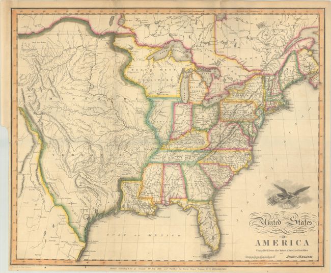
Melish, John
United States of America Compiled from the Latest & Best Authorities, 1818
Size: 19.7 x 16.3 inches (50 x 41.4 cm)
Estimate: $2,000 - $2,300
Early & Separately Issued Version of Melish's Important Map
Sold for: $3,000
Closed on 6/21/2023
Auction 193, Lot 159
Subject: Eastern United States
Mitchell/Young
Map of the United States, 1831
Size: 35.4 x 44.9 inches (89.9 x 114 cm)
Estimate: $1,400 - $1,700
First Edition of Mitchell's Wall Map - His Inaugural Production
Sold for: $1,700
Closed on 6/21/2023
Auction 193, Lot 163
Subject: Colonial New England & Mid-Atlantic United States
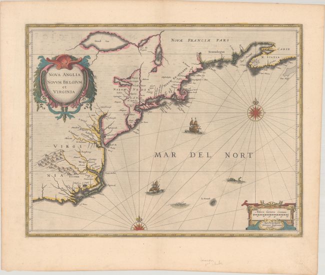
Jansson, Jan
Nova Anglia Novum Belgium et Virginia, 1638
Size: 19.9 x 15.3 inches (50.5 x 38.9 cm)
Estimate: $1,200 - $1,500
Jansson's Influential Map of the East Coast
Sold for: $900
Closed on 6/21/2023
Auction 193, Lot 164
Subject: Colonial New England & Mid-Atlantic United States
Blaeu, Willem
Nova Belgica et Anglia Nova, 1640
Size: 19.7 x 15.3 inches (50 x 38.9 cm)
Estimate: $2,000 - $2,300
Important Map of Colonial New England and the Mid-Atlantic
Sold for: $2,500
Closed on 6/21/2023
Auction 193, Lot 165
Subject: Colonial New England & Mid-Atlantic United States
Allard, Hugo
Totius Neobelgii Nova et Accuratissima Tabula, 1674
Size: 21.3 x 18.4 inches (54.1 x 46.7 cm)
Estimate: $11,000 - $14,000
Exceedingly Rare 2nd State Known in only 2 Other Examples
Unsold
Closed on 6/21/2023
Auction 193, Lot 169
Subject: Colonial New England United States
Brion de la Tour, Louis
Carte du Theatre de la Guerre Entre les Anglais et les Americains: Dressee d'Apres les Cartes Anglaises les Plus Modernes, 1779
Size: 20.4 x 29.7 inches (51.8 x 75.4 cm)
Estimate: $3,500 - $4,250
Important Map Depicting Tipping Point of Revolutionary War
Sold for: $2,400
Closed on 6/21/2023
Auction 193, Lot 174
Subject: Colonial Mid-Atlantic United States
Homann, Johann Baptist
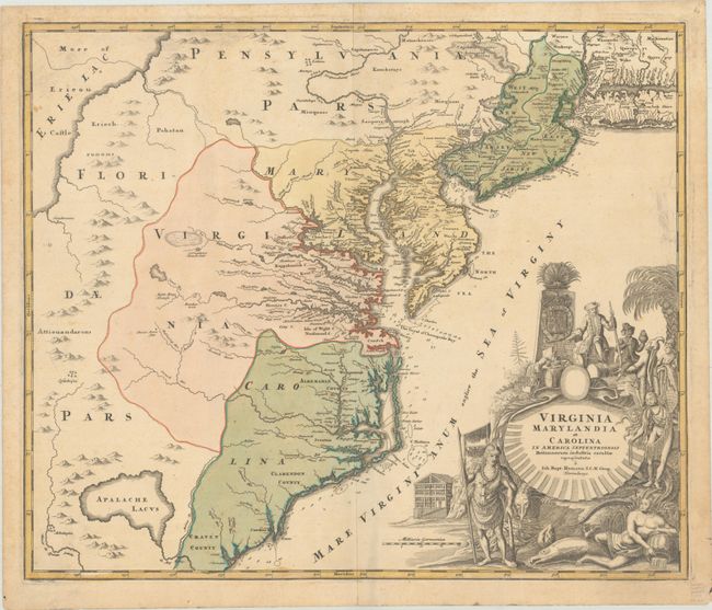
Virginia Marylandia et Carolina in America Septentrionali Britannorum Industria Excultae, 1730
Size: 22.8 x 19.1 inches (57.9 x 48.5 cm)
Estimate: $1,500 - $1,800
Map Created to Promote German Immigration to the New World
Sold for: $1,000
Closed on 6/21/2023
Auction 193, Lot 175
Subject: Colonial Mid-Atlantic United States, Revolutionary War
Sauthier/Faden
A Map of the Province of New-York, Reduc'd from the Large Drawing of That Province, Compiled from Actual Surveys by Order of His Excellency William Tryon Esqr..., 1776
Size: 22.6 x 28.1 inches (57.4 x 71.4 cm)
Estimate: $3,000 - $3,750
Important Revolutionary War Map Based on Sauthier and Ratzer
Unsold
Closed on 6/21/2023
Auction 193, Lot 181
Subject: Colonial Southeastern United States
Mercator/Hondius
Virginiae Item et Floridae Americae Provinciarum, Nova Descriptio, 1619
Size: 19.2 x 13.6 inches (48.8 x 34.5 cm)
Estimate: $1,500 - $1,800
A Seminal Map of the Southeast and Early American Cartography
Unsold
Closed on 6/21/2023
Auction 193, Lot 192
Subject: Central United States
Aa, Pieter van der
Land en Volk-Ontdekking in't Noorder Gedeelte van America, door P. Marquette en Joliet; Gedaan in't Jaar 1673, 1719
Size: 11.5 x 8.8 inches (29.2 x 22.4 cm)
Estimate: $1,000 - $1,300
Superb Map of Mississippi River Valley with Picture-Frame Style Border
Sold for: $750
Closed on 6/21/2023
Auction 193, Lot 203
Subject: Western United States, Railroads
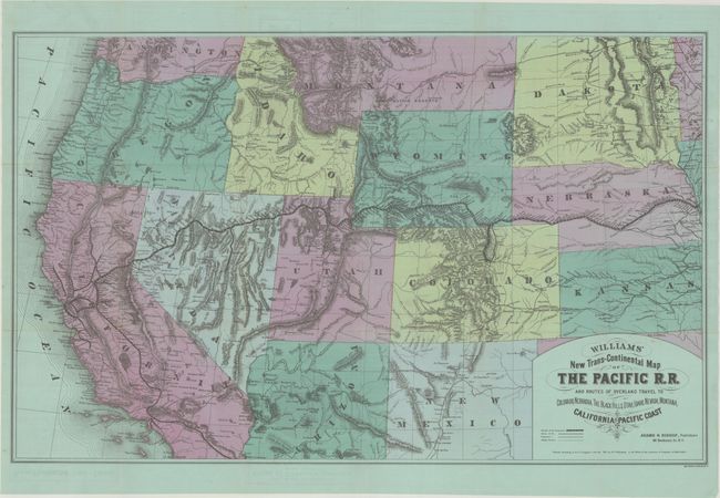
Williams' New Trans-Continental Map of the Pacific R.R. and Routes of Overland Travel to Colorado, Nebraska, the Black Hills, Utah, Idaho, Nevada, Montana, California and the Pacific Coast, 1877
Size: 36.9 x 23.1 inches (93.7 x 58.7 cm)
Estimate: $800 - $950
Scarce Railroad Map by Henry Williams
Sold for: $500
Closed on 6/21/2023
Auction 193, Lot 209
Subject: Northwestern United States, Canada
Burr/Illman
Oregon Territory, 1833
Size: 12.8 x 10.6 inches (32.5 x 26.9 cm)
Estimate: $1,200 - $1,500
An Early Depiction of Oregon Territory
Sold for: $900
Closed on 6/21/2023
Auction 193, Lot 240
Subject: Colorado
Nell, Louis
Topographical & Township Map of Part of the State of Colorado Exhibiting the San Juan, Gunnison & California Mining Regions..., 1880
Size: 25.9 x 21.6 inches (65.8 x 54.9 cm)
Estimate: $2,000 - $2,300
Nell's First Map of Colorado
Sold for: $1,500
Closed on 6/21/2023
Auction 193, Lot 276
Subject: Colonial Saratoga, New York, Revolutionary War
Smith, Charles
Plan of the Position Which the Army Under Lt. Genl. Burgoine Took at Saratoga on the 10th of September 1777 and in Which It Remained Till the Convention Was Signed, 1796
Size: 13.8 x 8.4 inches (35.1 x 21.3 cm)
Estimate: $800 - $950
Rare Revolutionary War Map of the Second Battle of Saratoga
Sold for: $600
Closed on 6/21/2023
Auction 193, Lot 297
Subject: Hilton Head & South Carolina Coast
Jefferys & Faden
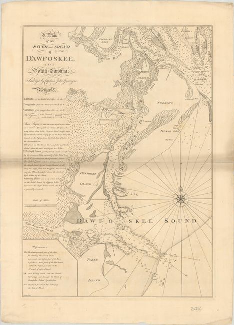
A Plan of the River and Sound of d'Awfoskee, in South Carolina. Survey'd by Captain John Gascoigne, 1776
Size: 17.9 x 25.3 inches (45.5 x 64.3 cm)
Estimate: $3,000 - $4,000
Rare Chart of Hilton Head
Sold for: $2,200
Closed on 6/21/2023
18 lots


