Showing Featured Lots(remove filter)
Showing results for:Auction 195
Catalog Archive
53 lots
Page 1 of 2
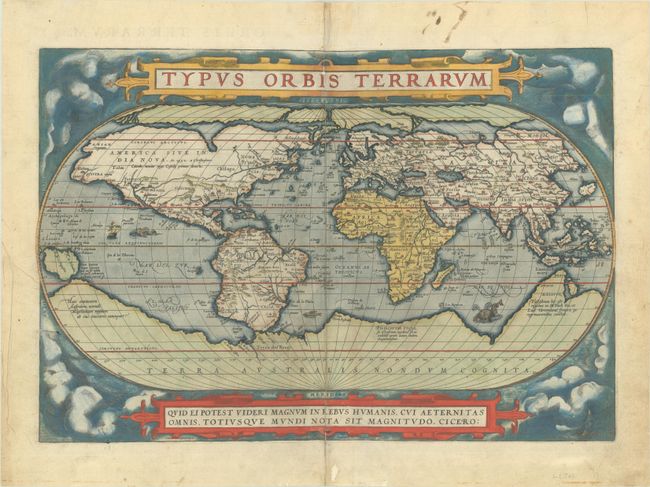
Auction 195, Lot 2
Subject: World
Ortelius, Abraham
Typus Orbis Terrarum, 1584
Size: 19.6 x 13.4 inches (49.8 x 34 cm)
Estimate: $7,000 - $8,500
Ortelius' Famous World Map - First Plate in Full Contemporary Color
Sold for: $6,000
Closed on 11/15/2023
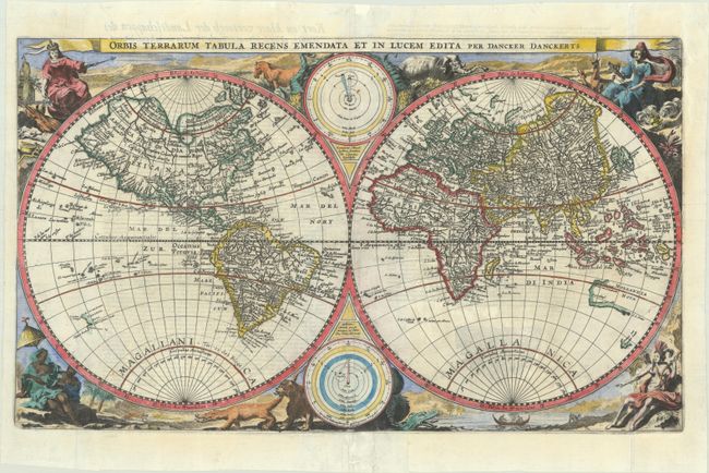
Auction 195, Lot 3
Subject: World
Danckerts, Family
Orbis Terrarum Tabula Recens Emendata et in Lucem Edita, 1665
Size: 19.9 x 11.8 inches (50.5 x 30 cm)
Estimate: $2,000 - $2,500
Rare Bible Map Combining Old and New Cartography
Sold for: $1,500
Closed on 11/15/2023
Auction 195, Lot 40
Subject: Ancient World
Ptolemy/Mercator
Universalis Tabula Iuxta Ptolemaeum, 1584
Size: 19.1 x 13.6 inches (48.5 x 34.5 cm)
Estimate: $3,000 - $3,750
Rare First State of Mercator's Ptolemaic World Map
Sold for: $2,200
Closed on 11/15/2023
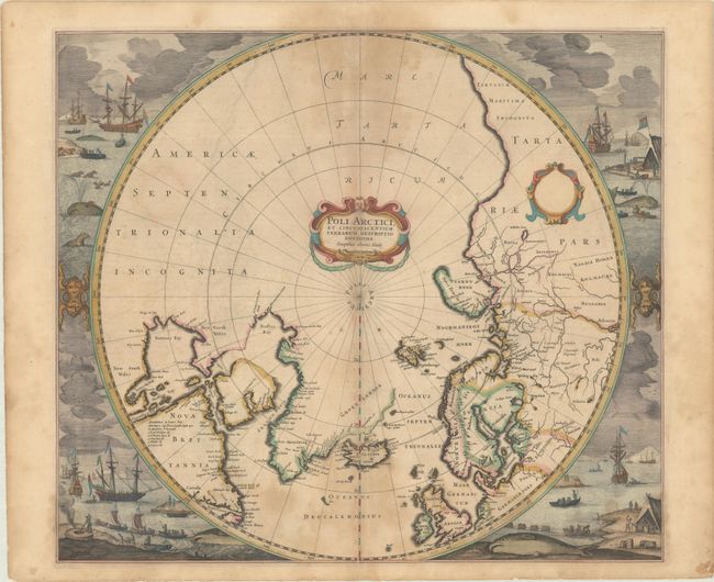
Auction 195, Lot 45
Subject: North Pole
Hondius, Henricus
Poli Arctici, et Circumiacentium Terrarum Descriptio Novissima, 1639
Size: 19.5 x 17.1 inches (49.5 x 43.4 cm)
Estimate: $1,800 - $2,100
Magnificent Polar Map Surrounded by Whaling Scenes in Contemporary Color
Sold for: $1,300
Closed on 11/15/2023
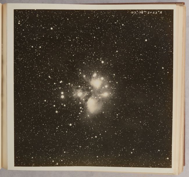
Auction 195, Lot 58
Subject: Milky Way
[2 Volumes] A Photographic Atlas of Selected Regions of the Milky Way - Part I Photographs and Descriptions [and] Part II Charts and Tables, 1927
Size: See Description
Estimate: $4,500 - $5,500
Groundbreaking Atlas of the Milky Way
Sold for: $3,250
Closed on 11/15/2023
Auction 195, Lot 69
Subject: Cartographic Miscellany, Fictional Map
The Land of Make Believe, 1935
Size: 36.3 x 24.8 inches (92.2 x 63 cm)
Estimate: $2,000 - $2,400
Whimsical Map Representing Popular Fairy Tales
Sold for: $2,000
Closed on 11/15/2023
Auction 195, Lot 71
Subject: Cartographic Miscellany, Internet
Road Map to the Internet - The Internet, 1994
Size: 35.6 x 23 inches (90.4 x 58.4 cm)
Estimate: $2,000 - $2,300
Scarce and Groundbreaking Map of the Early Internet
Sold for: $1,500
Closed on 11/15/2023
Auction 195, Lot 72
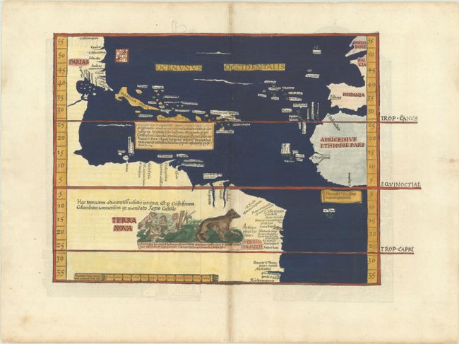
Subject: Western Hemisphere - America, Atlantic Ocean
Waldseemuller/Fries
[Title on Verso] Oceani Occidetalis seu Terre Nove Tabula, 1525
Size: 16.6 x 11.4 inches (42.2 x 29 cm)
Estimate: $9,000 - $11,000
The Waldseemuller/Fries "Admiral's Map"
Sold for: $7,000
Closed on 11/15/2023
Auction 195, Lot 73
Subject: Western Hemisphere - America
Munster, Sebastian
La Table des Isles Neufues, Lesquelles on Appelle Isles d'Occident & d'Indie pour Divers Regardz , 1552
Size: 13.7 x 10.1 inches (34.8 x 25.7 cm)
Estimate: $5,500 - $7,000
One of the Most Important 16th Century Maps of the New World
Sold for: $3,900
Closed on 11/15/2023
Auction 195, Lot 74
Subject: Western Hemisphere - America
Ortelius, Abraham
Americae sive Novi Orbis, Nova Descriptio, 1587
Size: 19.1 x 14 inches (48.5 x 35.6 cm)
Estimate: $6,000 - $7,500
Ortelius' Influential Map of the New World
Sold for: $4,500
Closed on 11/15/2023
Auction 195, Lot 89
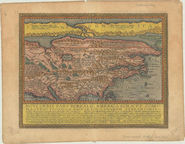
Subject: Colonial North America
Quad, Matthias von Kinckelbach
Novi Orbis Pars Borealis, America Scilicet, Complectens Floridam, Baccalaon, Canadam, Terram Corterialem, Virginiam..., 1600
Size: 11.7 x 9 inches (29.7 x 22.9 cm)
Estimate: $3,000 - $3,750
One of the Earliest Maps Devoted to North America
Sold for: $2,200
Closed on 11/15/2023
Auction 195, Lot 110
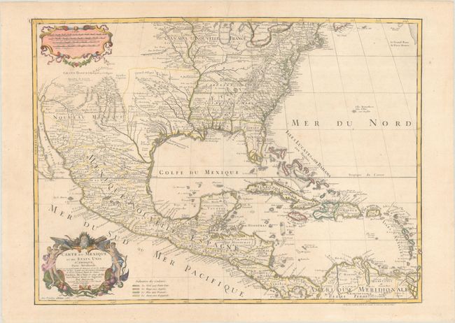
Subject: Colonial Eastern North America & West Indies
Delisle/Dezauche
Carte du Mexique et des Etats Unis d'Amerique, Partie Meridionale. Dressee sur un Grand Nombre de Memoires..., 1783
Size: 25.7 x 18.9 inches (65.3 x 48 cm)
Estimate: $1,200 - $1,500
One of the Earliest Maps to Name the United States
Sold for: $900
Closed on 11/15/2023
Auction 195, Lot 134
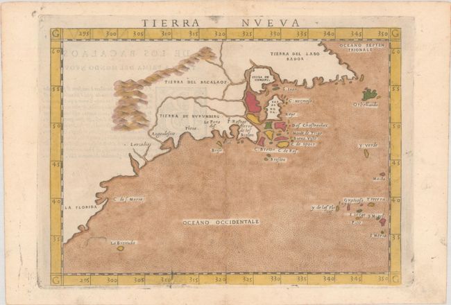
Subject: Eastern United States & Canada
Ruscelli, Girolamo
Tierra Nueva, 1574
Size: 9.7 x 7.1 inches (24.6 x 18 cm)
Estimate: $1,200 - $1,500
Ruscelli's Map of the East Coast
Sold for: $850
Closed on 11/15/2023
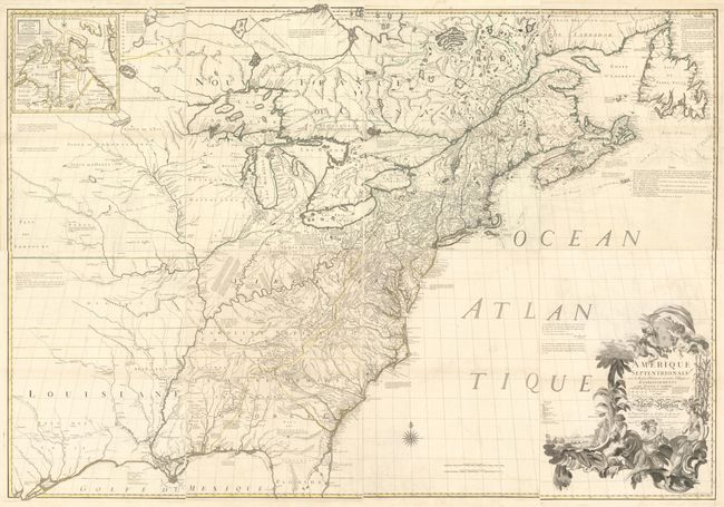
Auction 195, Lot 137
Subject: Colonial Eastern United States & Canada
Mitchell/Le Rouge
[On 8 Sheets] Amerique Septentrionale avec les Routes, Distances en Miles, Villages et Etablissements Francois et Anglois..., 1756
Size: 19 x 26.8 inches (48.3 x 68.1 cm)
Estimate: $10,000 - $13,000
French Edition of Mitchell's Monumental Map
Sold for: $7,500
Closed on 11/15/2023
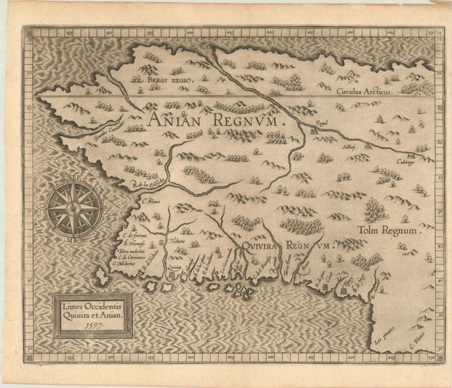
Auction 195, Lot 154
Subject: Alaska & Western Canada
Wytfliet, Cornelis
Limes Occidentis Quivira et Anian, 1597
Size: 11.5 x 9.3 inches (29.2 x 23.6 cm)
Estimate: $1,900 - $2,200
Early and Imaginary Map of Alaska and the Northwest Passage
Sold for: $1,700
Closed on 11/15/2023
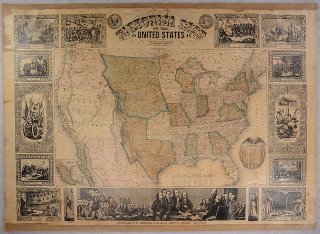
Auction 195, Lot 158
Subject: United States
Ensign, Thayer & Co.
Pictorial Map of the United States, 1848
Size: 39.8 x 29 inches (101.1 x 73.7 cm)
Estimate: $1,500 - $1,800
Spectacular Wall Map Published at the Conclusion of the Mexican-American War
Sold for: $1,100
Closed on 11/15/2023
Auction 195, Lot 185
Subject: Eastern United States
Wyld, James
Wyld's Military Map of the United States, the Northern States, and the Southern Confederate States: with the Forts, Harbours, Arsenals, and Military Positions, 1861
Size: 23.8 x 35.1 inches (60.5 x 89.2 cm)
Estimate: $1,800 - $2,100
Important Civil War Map
Sold for: $1,100
Closed on 11/15/2023
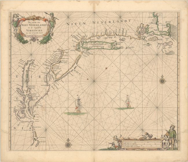
Auction 195, Lot 187
Subject: Colonial New England & Mid-Atlantic United States
Goos, Pieter
Pas Caerte van Nieu Nederlandt en de Engelsche Virginies van Cabo Cod tot Cabo Canrick, 1666
Size: 20.8 x 16.9 inches (52.8 x 42.9 cm)
Estimate: $5,500 - $6,500
Goos' Gorgeous Chart of the Mid-Atlantic & New England
Sold for: $4,000
Closed on 11/15/2023
Auction 195, Lot 188
Subject: Colonial New England & Mid-Atlantic United States
Allard, Hugo
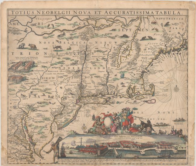
Totius Neobelgii Nova et Accuratissima Tabula, 1674
Size: 21.3 x 18.4 inches (54.1 x 46.7 cm)
Estimate: $11,000 - $14,000
Exceedingly Rare 2nd State Known in only 2 Other Examples
Sold for: $6,000
Closed on 11/15/2023
Auction 195, Lot 193
Subject: Colonial Mid-Atlantic United States
Speed/Lamb
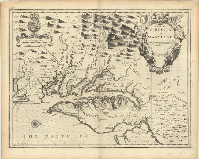
A Map of Virginia and Maryland, 1676
Size: 19.6 x 14.9 inches (49.8 x 37.8 cm)
Estimate: $4,000 - $4,750
The First Printed Map to Draw Upon the Legendary Herrman Map of the Chesapeake Bay
Unsold
Closed on 11/15/2023
Auction 195, Lot 195
Subject: Colonial Mid-Atlantic United States, Virginia
Fry, Joshua & Jefferson, Peter
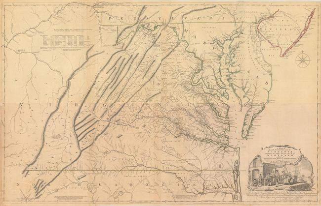
[On 4 Sheets] A Map of the Most Inhabited Part of Virginia Containing the Whole Province of Maryland with Part of Pensilvania, New Jersey and North Carolina, 1775
Size: 48.4 x 15.7 inches (122.9 x 39.9 cm)
Estimate: $14,000 - $17,000
1775 Edition of the Landmark Fry-Jefferson Map of Virginia and Maryland
Sold for: $13,500
Closed on 11/15/2023
Auction 195, Lot 196
Subject: Colonial Mid-Atlantic United States, Revolutionary War
Sauthier/Faden
A Map of the Province of New-York, Reduc'd from the Large Drawing of That Province, Compiled from Actual Surveys by Order of His Excellency William Tryon Esqr..., 1776
Size: 22.6 x 28.1 inches (57.4 x 71.4 cm)
Estimate: $3,000 - $3,750
Important Revolutionary War Map Based on Sauthier and Ratzer
Unsold
Closed on 11/15/2023
Auction 195, Lot 200
Subject: Colonial Southeastern United States
Mercator/Hondius
Virginiae Item et Floridae Americae Provinciarum, Nova Descriptio, 1619
Size: 19.2 x 13.6 inches (48.8 x 34.5 cm)
Estimate: $1,400 - $1,700
A Seminal Map of the Southeast and Early American Cartography
Sold for: $800
Closed on 11/15/2023
Auction 195, Lot 202
Subject: Colonial Southeastern United States
Dudley, Robert (Sir)
Carta Particolare della Costa di Florida e di Virginia..., 1661
Size: 15 x 18.9 inches (38.1 x 48 cm)
Estimate: $15,000 - $18,000
First Printed Sea Chart of the Southeast Coast of the New World
Sold for: $10,000
Closed on 11/15/2023
Auction 195, Lot 203
Subject: Colonial Southeastern United States
Speed/Lamb
A New Description of Carolina, 1676
Size: 20 x 14.8 inches (50.8 x 37.6 cm)
Estimate: $3,500 - $4,500
Speed's Map of the Carolinas Based Upon the Lords Proprietor's Map
Sold for: $2,500
Closed on 11/15/2023
Auction 195, Lot 208
Subject: Colonial Southern United States
[Map in Book] [New Map of Georgia] [in] Reasons for Establishing the Colony of Georgia, with Regard to the Trade of Great Britain..., 1733
Size: 7.3 x 5.3 inches (18.5 x 13.5 cm)
Estimate: $5,500 - $6,500
First Printed Map to Name Georgia
Unsold
Closed on 11/15/2023
Auction 195, Lot 210
Subject: Colonial Southern United States
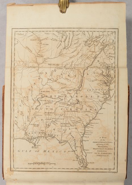
[Map in Book] A Map of the American Indian Nations, Adjoining to the Missisippi, West & East Florida, Georgia, S. & N. Carolina, Virginia. &c. [in] The History of the American Indians..., 1775
Size: 9.6 x 12.9 inches (24.4 x 32.8 cm)
Estimate: $3,000 - $3,750
Important History of Native Americans in the Southeast with Map
Sold for: $2,000
Closed on 11/15/2023
Auction 195, Lot 212
Subject: Southern United States, Franklin
Purcell, Joseph
A Map of the States of Virginia North Carolina South Carolina and Georgia Comprehending the Spanish Provinces of East and West Florida Exhibiting the Boundaries Between the United States and Spanish Dominions..., 1793
Size: 14.9 x 12.6 inches (37.8 x 32 cm)
Estimate: $950 - $1,200
Second State of Purcell's Map Locating the Proposed State of Frankland
Sold for: $750
Closed on 11/15/2023
Auction 195, Lot 222
Subject: Colonial Upper Midwestern United States, River Longue
Lahontan, Louis Armand, Baron de
Carte que les Gnacsitares ont Dessine sur ... Carte de la Riviere Longue et de Quelques Autres qui se Dechargent dans le Grand Fleuve Missisipi …, 1703
Size: 26.3 x 11 inches (66.8 x 27.9 cm)
Estimate: $1,600 - $1,900
First Edition of Lahontan's Influential Map Depicting "Riviere Longue"
Sold for: $1,700
Closed on 11/15/2023
Auction 195, Lot 282
Subject: Western Florida & Cuba
Keulen, Gerard van
Pas Kaart van de Boght van Florida met de Canaal Tusschen Florida en Cuba , 1734
Size: 22.8 x 20.1 inches (57.9 x 51.1 cm)
Estimate: $2,400 - $3,000
One of the First Charts of the Florida Gulf Coast
Unsold
Closed on 11/15/2023
Auction 195, Lot 293
Subject: Georgia Coast
Des Barres, Joseph Frederick Wallet
The Coast, Rivers and Inlets of the Province of Georgia, Surveyed by Joseph Avery and Others..., 1780
Size: 29.4 x 23.3 inches (74.7 x 59.2 cm)
Estimate: $7,500 - $9,000
Revolutionary War Era Chart of Coastline Around Savannah
Sold for: $7,000
Closed on 11/15/2023
Auction 195, Lot 297
Subject: Chicago, Illinois
A Map of Chicago's Gangland from Authentic Sources Designed to Inculcate the Most Important Principles of Piety and Virtue in Young Persons and Graphically Portray the Evils and Sin of Large Cities, 1931
Size: 27.6 x 22 inches (70.1 x 55.9 cm)
Estimate: $12,000 - $15,000
Rare Pictorial Map of Chicago Gang Wars During Prohibition
Sold for: $9,000
Closed on 11/15/2023
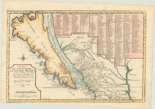
Auction 195, Lot 358
Subject: Southwestern United States & Mexico, California
Fer, Nicolas de
Cette Carte de Californie et du Nouveau Mexique, est Tiree de Celle qui a ete Envoyee par un Grand d'Espagne pour Etre Communiquee a Mrs. de l'Academie Royale des Sciences, 1705
Size: 13.4 x 8.9 inches (34 x 22.6 cm)
Estimate: $1,200 - $1,500
De Fer's Important Map of the Island of California
Unsold
Closed on 11/15/2023
Auction 195, Lot 422
Subject: Strait of Magellan
Thornton, John
A New Mapp of Magellan Straights Discovered by Capp: John Narbrough (Comander Then of His Majesties Ship the Sweepstakes) as He Sayled Through the Sade Straights, 1700
Size: 20.4 x 16.4 inches (51.8 x 41.7 cm)
Estimate: $2,000 - $2,300
Scarce Map of Strait of Magellan Based on Narborough's Expedition
Sold for: $2,750
Closed on 11/15/2023
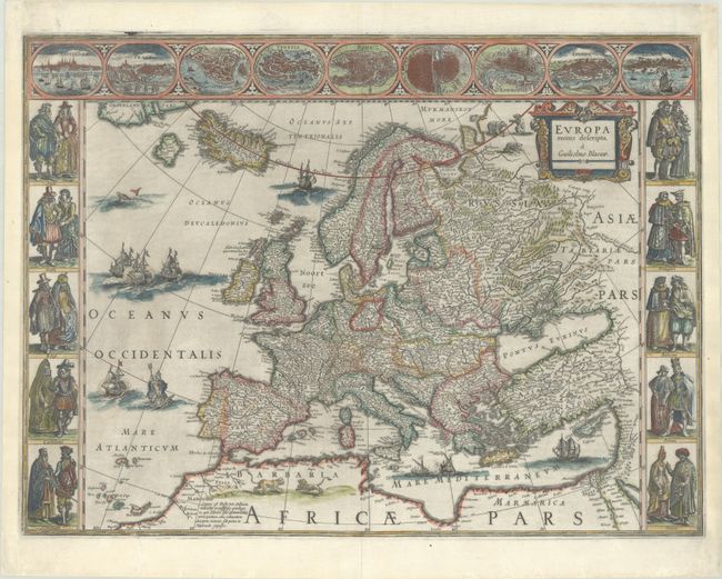
Auction 195, Lot 433
Subject: Europe
Blaeu, Willem
Europa Recens Descripta, 1643
Size: 22 x 16.3 inches (55.9 x 41.4 cm)
Estimate: $3,250 - $4,000
Blaeu's Carte-a-Figures Map of Europe
Sold for: $2,400
Closed on 11/15/2023
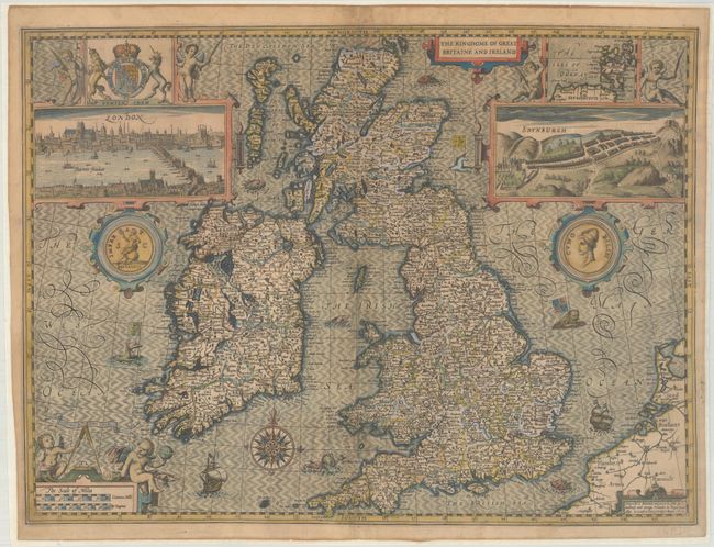
Auction 195, Lot 441
Subject: Britain
Speed, John
The Kingdome of Great Britaine and Ireland, 1610
Size: 20.1 x 14.9 inches (51.1 x 37.8 cm)
Estimate: $2,000 - $2,300
Speed's Famous Map of the British Isles Engraved by Hondius
Sold for: $1,500
Closed on 11/15/2023
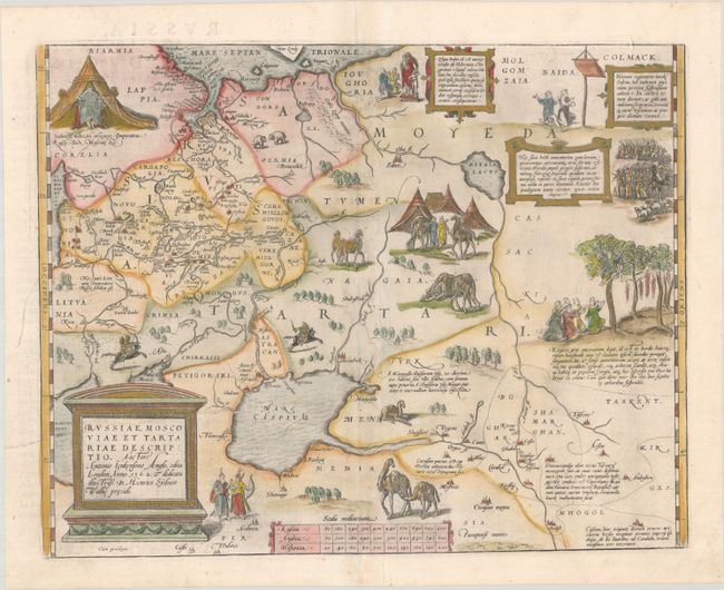
Auction 195, Lot 597
Subject: Russia, Eastern Europe & Central Asia
Ortelius, Abraham
Russiae, Moscoviae et Tartariae Descriptio. Auctore Antonio Ienkensono Anglo..., 1584
Size: 17.8 x 13.9 inches (45.2 x 35.3 cm)
Estimate: $1,600 - $1,900
Ortelius' Map of Russia with a Vignette of Ivan the Terrible
Sold for: $1,000
Closed on 11/15/2023
Auction 195, Lot 602
Subject: Moscow, Russia
Braun & Hogenberg
Moscauw, 1597
Size: 19.3 x 13.8 inches (49 x 35.1 cm)
Estimate: $2,400 - $3,000
Braun & Hogenberg's First Plan of Moscow
Unsold
Closed on 11/15/2023
Auction 195, Lot 614
Subject: Western Balkans, Adriatic Sea
Coronelli, Vincenzo Maria
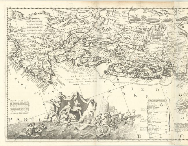
Ristretto della Dalmazia Divisa ne Suoi Contadi, gia Presentata alla Serenissima Republica di Venezia, etc., 1696-97
Size: 45 x 17.6 inches (114.3 x 44.7 cm)
Estimate: $1,400 - $1,700
Two-Sheet Map of Dalmatian Coast
Sold for: $1,000
Closed on 11/15/2023
Auction 195, Lot 623
Subject: Italy
Duchetti, Claudio
Geografia Moderna di Tutta l'Italia con le sue Regioni, Citta, Castelli, Monti, Laghi, Fiumi, Mari, Golfi, Porti, Capi, et Isole..., 1669
Size: 19.8 x 15.8 inches (50.3 x 40.1 cm)
Estimate: $4,000 - $5,000
Derivative of Duchetti Map of Italy
Sold for: $2,500
Closed on 11/15/2023
Auction 195, Lot 651
Subject: Malta
Visscher, Nicolas
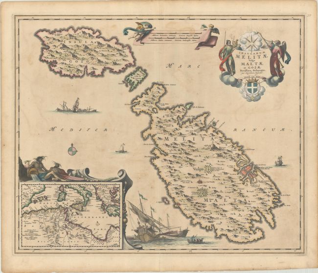
Insularum Melitae Vulgo Maltae et Gozae Novissima Delineatio, 1680
Size: 22.2 x 18.1 inches (56.4 x 46 cm)
Estimate: $1,100 - $1,400
Highly Decorative 17th-Century Map of Malta
Sold for: $800
Closed on 11/15/2023
Auction 195, Lot 687
Subject: Asia
Blaeu, Willem
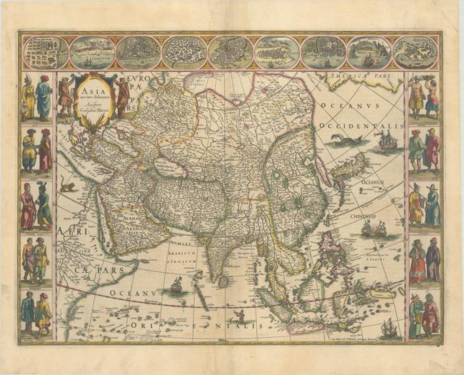
Asia Noviter Delineata, 1635
Size: 22 x 16.2 inches (55.9 x 41.1 cm)
Estimate: $3,000 - $3,750
Magnificent Carte-a-Figures Map of Asia in Full Contemporary Color
Sold for: $2,200
Closed on 11/15/2023
Auction 195, Lot 692
Subject: Asia
Aa, Pieter van der
L'Asie, Selon les Nouvelles Observations de Messrs. de l'Academie des Sciences, Etc., 1713
Size: 26 x 18.4 inches (66 x 46.7 cm)
Estimate: $1,400 - $1,700
Scarce and Decorative Map of Asia Compiled from Contemporary Jesuit Sources
Sold for: $1,000
Closed on 11/15/2023
Auction 195, Lot 696
Subject: Asia
Laurie & Whittle
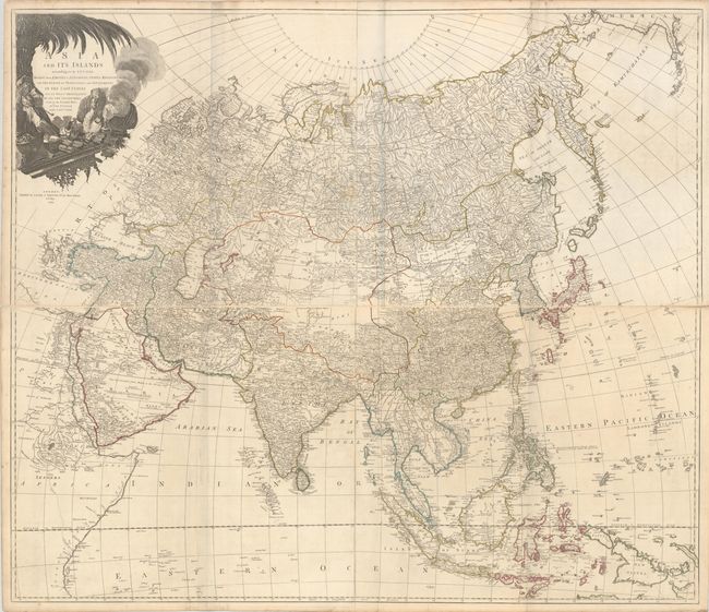
[On 4 Sheets] Asia and Its Islands According to D'Anville; Divided into Empires, Kingdoms, States, Regions, with the European Possessions and Settlements in the East Indies..., 1794
Size: 47.4 x 20.4 inches (120.4 x 51.8 cm)
Estimate: $1,600 - $1,900
Superb, Large-Scale English Map of Asia
Sold for: $1,200
Closed on 11/15/2023
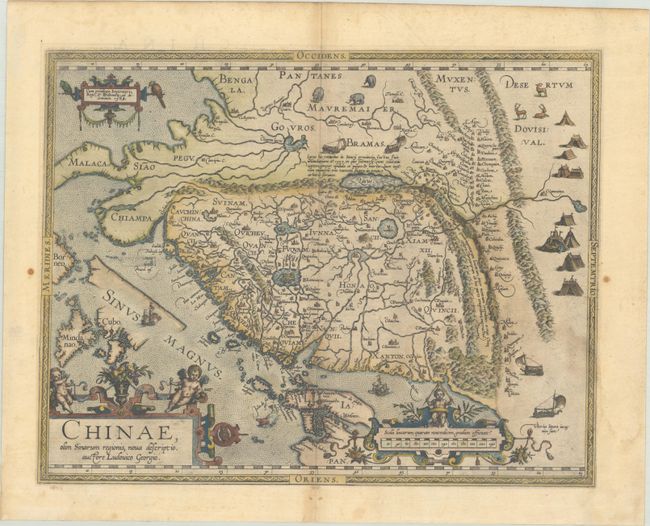
Auction 195, Lot 705
Subject: China
Ortelius, Abraham
Chinae, olim Sinarum Regionis, Nova Descriptio. Auctore Ludovico Georgio, 1584
Size: 18.4 x 14.5 inches (46.7 x 36.8 cm)
Estimate: $4,500 - $5,500
The First European-Printed Map of China
Unsold
Closed on 11/15/2023
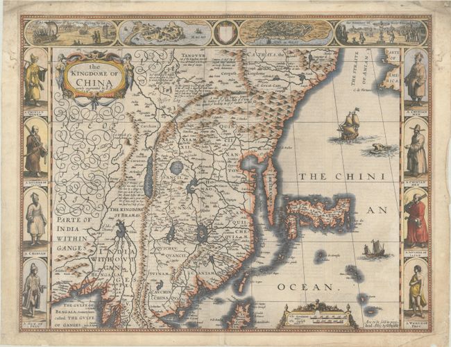
Auction 195, Lot 711
Subject: China, Korea & Japan
Speed, John
The Kingdome of China Newly Augmented, 1626
Size: 20 x 15.4 inches (50.8 x 39.1 cm)
Estimate: $3,500 - $4,250
Striking Carte-a-Figures Map of China with the Island of Korea
Sold for: $2,300
Closed on 11/15/2023
Auction 195, Lot 721
Subject: East Indies - Western Indonesia
Dudley, Robert (Sir)
Carta Particolare del' Isole di Iava Maggre e Minore con la Parte Austle. del Isole di Sumatra e Burneo..., 1646
Size: 29.6 x 18.8 inches (75.2 x 47.8 cm)
Estimate: $2,400 - $3,000
Dudley's Rare Chart of the East Indies
Sold for: $1,600
Closed on 11/15/2023
Auction 195, Lot 778
Subject: Pacific Ocean, California
Ottens, Reiner and Joshua
Magnum Mare del Zur cum Insula California / De Groote Zuyd-Zee en 't Eylandt California, 1745
Size: 22.4 x 19.3 inches (56.9 x 49 cm)
Estimate: $1,500 - $1,800
One of the Finest Charts Showing California as an Island
Sold for: $2,750
Closed on 11/15/2023
Auction 195, Lot 792
Subject: Portrait
Hondius
Gerardus Mercator... Iudocus Hondius..., 1619
Size: 17.8 x 15.1 inches (45.2 x 38.4 cm)
Estimate: $1,100 - $1,400
Famous Portraits of Mercator and Jodocus Hondius
Unsold
Closed on 11/15/2023
Auction 195, Lot 818
Subject: Early Printing
Hardouin, Gilles
[Book of Hours Leaf], 1510
Size: 5.8 x 8.9 inches (14.7 x 22.6 cm)
Estimate: $950 - $1,200
Superb Image of Adoration of the Magi in Contemporary Hand Color with Gilt Highlights
Sold for: $700
Closed on 11/15/2023
53 lots
Page 1 of 2


