Filtered by Category:18th Century(Show All Categories)
Articles
7 articles
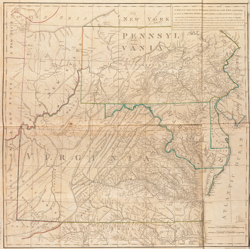
Jefferson and Maps
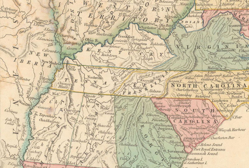
This March 2024 article gives an overview of the cartographic endeavors of Thomas Jefferson, with an in-depth discussion of his only published map, "A map of the Country Between Albemarle Sound, and Lake Erie."
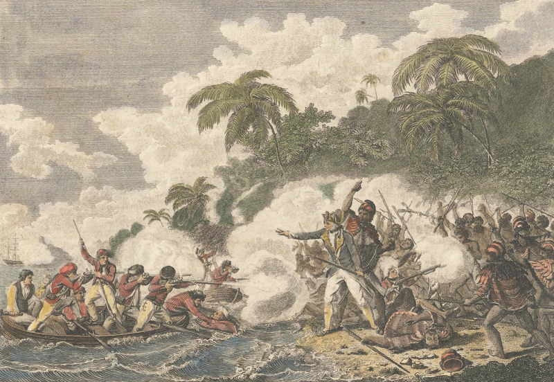
Mapping Cook
This August 2023 article offers a brief overview of Captain James Cook’s vast explorations and the maps that resulted. Captain Cook was an explorer, surveyor, and chartmaker who commanded three voyages. On these voyages he was able to make significant contributions to the mapping of New Zealand, Australia, Hawaii, and the South Pacific.
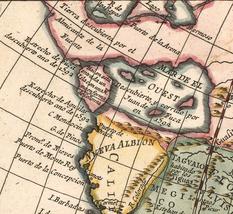
The Man Behind "The Last Great Cartographic Myth"
This August 2021 article is an interview with Don McGuirk, author of "The Last Great Cartographic Myth," an authoritative online resource dedicated to the mythical Sea of the West. Don explains how he became interested in maps and the Sea of the West, how the myth first began, and how it was depicted on maps over time.
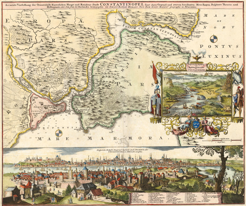
The Mapmakers Who Made the 18th Century
Read our June 2020 newsletter featuring an article about "The Mapmakers Who Made the 18th Century," which gives an overview of some of the most important cartographers of the 1700s and their most iconic maps, including Delisle, Moll, Homann, and Jefferys. Also in this newsletter is a list of free online resources that offer cartographic content to help you expand your worldview while staying safely at home.
Precision & Exactitude: The Robert de Vaugondy Family
This October 2018 article gives an overview of the Robert de Vaugondy family, who published numerous maps, atlases, and globes during the 18th century, known as the golden age of French cartography.
Nine US States You've Never Heard Of - Part I & Collector's Corner
This July 2018 newsletter features two articles. The first is Part I of a two-part article on nine proposed and provisional states that were never officially admitted to the Union. Also included in this newsletter is Collector's Corner, in which we feature a collector's journey into antique maps.
The Early United States Land System
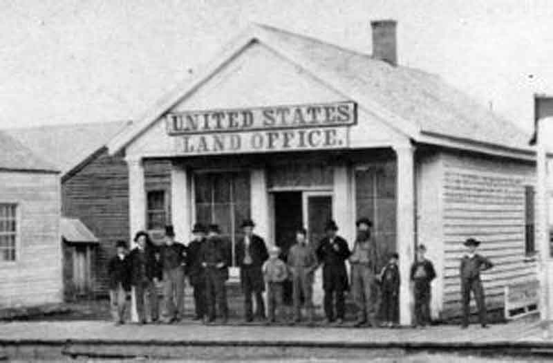
This article from October 2016 gives a history of "The Early United States Land System."
7 articles


