Filtered by Category:United States(Show All Categories)
Articles
12 articles
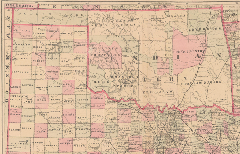
No Man's Land: The Cartographic Evolution of the Oklahoma Panhandle
This March 2025 article explains the term "No Man's Land," which was used in the mid-1880s to describe the Oklahoma Panhandle. The article explains the origins of the region and its boundaries, as well as how the region evolved cartographically to become part of the state of Oklahoma.
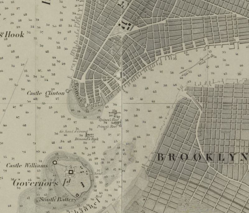
Establishing the U.S. Coast Survey
This May 2024 article examines the origins of the U.S. Coast Survey and its first 60 years of operation. It provides an overview of the first two Superintendents of the Survey, Ferdinand Hassler and Alexander Bache, and how their leadership shaped the functions and output of the Coast Survey.
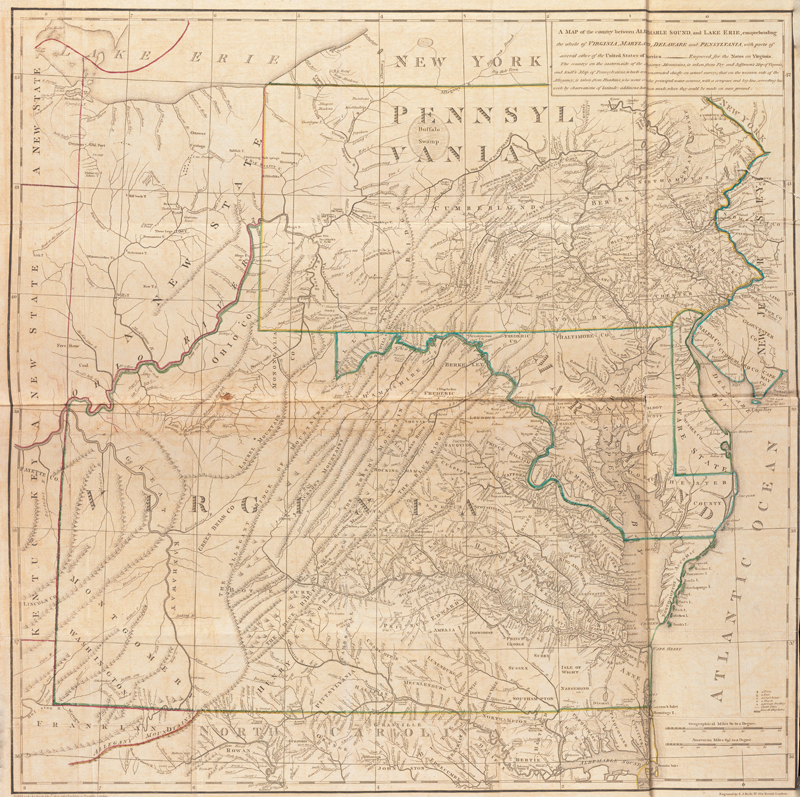
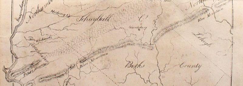
Jefferson and Maps
This March 2024 article gives an overview of the cartographic endeavors of Thomas Jefferson, with an in-depth discussion of his only published map, "A map of the Country Between Albemarle Sound, and Lake Erie."
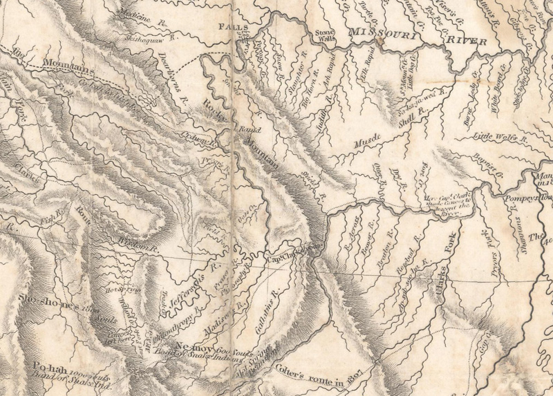
Lewis & Clark: Mapping the West
This May 2023 article gives an overview of the Lewis & Clark expedition through the western United States, with particular attention to the maps and cartographic tools they used on their journey.
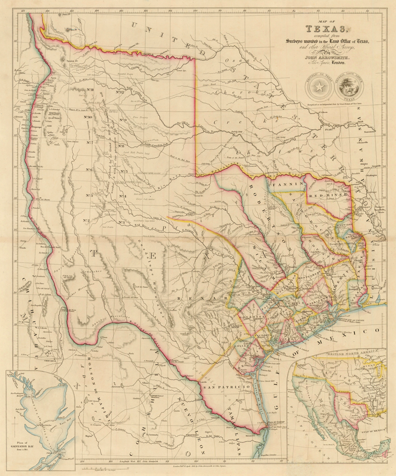
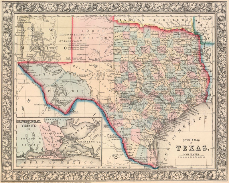
Texas: The Garden Spot of the World
This October 2021 article gives a brief history of the colonization and development of the great state of Texas from its time as a Spanish and then Mexican possession, to becoming an independent Republic, and finally admitted as the 28th state of the United States.
A New View on the First Lithographed Map in the United States
This April 2021 article is by guest contributor Jim Kissko, founder of Camelot Books. This article makes the case for the first map that was lithographed and published in the United States.
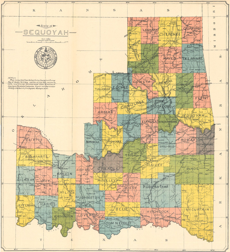
Nine US States You've Never Heard Of - Part II & Collector's Corner
This August 2018 newsletter features two articles. The first is Part II of a two-part article on nine proposed and provisional states that were never officially admitted to the Union. Also included in this newsletter is Collector's Corner, in which we feature a collector's journey into antique maps.
Nine US States You've Never Heard Of - Part I & Collector's Corner
This July 2018 newsletter features two articles. The first is Part I of a two-part article on nine proposed and provisional states that were never officially admitted to the Union. Also included in this newsletter is Collector's Corner, in which we feature a collector's journey into antique maps.
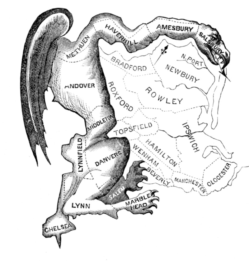
Map Manipulations: A Brief Perspective on Gerrymandering
This July 2017 article gives a brief history of gerrymandering - find out how it started and how it has evolved over time.
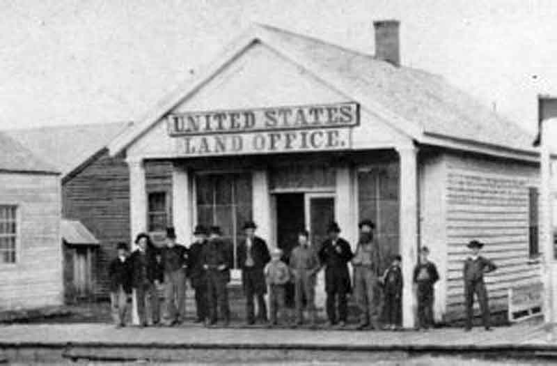
The Early United States Land System
This article from October 2016 gives a history of "The Early United States Land System."
American Atlas Publishers in the 19th Century
This article from July 2015 focuses on "American Atlas Publishers in the 19th Century."
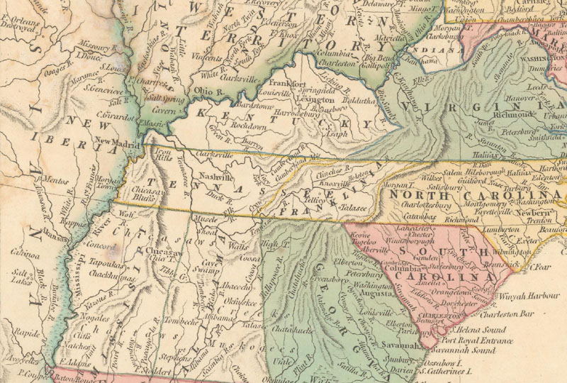
The State of Franklin
This article from June 2015 explains the history of the "State of Franklin," which almost became the 14th state of the fledgling United States.
12 articles


