Filtered by Category:North America(Show All Categories)
Articles
11 articles
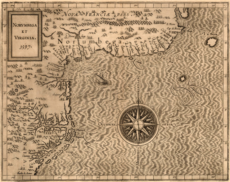
Norumbega: The Dream Behind New England
This August 2024 article explores the cartographic myth of Norumbega, a region that appeared in the vicinity of present-day New England on maps of the New World in the 16th and 17th centuries. It discusses the roots of Norumbega as a place name, geographical region, and colonial concept, starting with the voyage of Giovanni da Verrazzano and culminating in the exploration and establishment of New England.
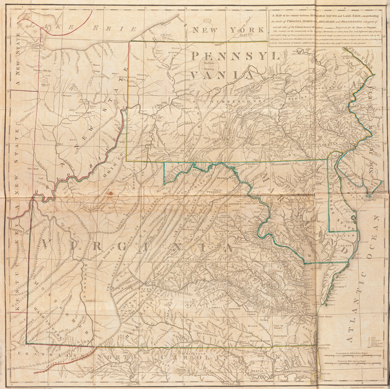
Jefferson and Maps
This March 2024 article gives an overview of the cartographic endeavors of Thomas Jefferson, with an in-depth discussion of his only published map, "A map of the Country Between Albemarle Sound, and Lake Erie."
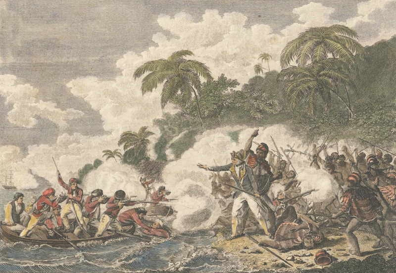
Mapping Cook
This August 2023 article offers a brief overview of Captain James Cook’s vast explorations and the maps that resulted. Captain Cook was an explorer, surveyor, and chartmaker who commanded three voyages. On these voyages he was able to make significant contributions to the mapping of New Zealand, Australia, Hawaii, and the South Pacific.
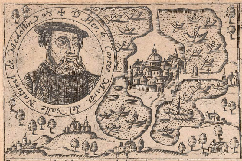
Mapping Cortés
This July 2023 article gives an overview of the explorations and conquests of Hernán Cortés through Mexico, with an emphasis on the maps and related engravings that documented and mythologized his exploits.
The Man Behind "The Last Great Cartographic Myth"
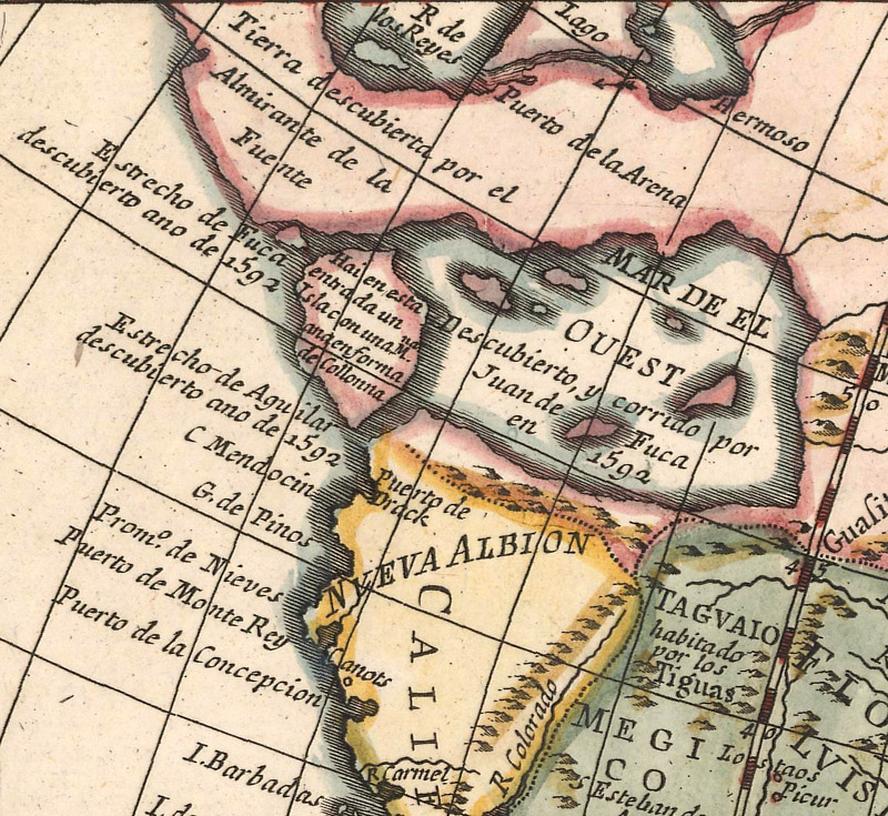
This August 2021 article is an interview with Don McGuirk, author of "The Last Great Cartographic Myth," an authoritative online resource dedicated to the mythical Sea of the West. Don explains how he became interested in maps and the Sea of the West, how the myth first began, and how it was depicted on maps over time.
A Cataloger's Perspective: Mapping North America Part II
This May 2019 newsletter features Part II of an article about the mapping of North America. Learn about the key elements to look for when looking at maps of North America from the 19th century.
A Cataloger's Perspective: Mapping North America Part I
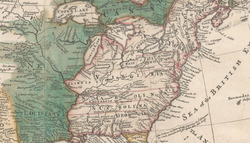
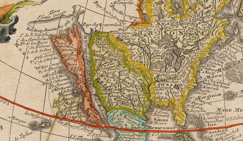
This April 2019 newsletter features Part I of an article about the mapping of North America. Learn about the key elements to look for when looking at maps of North America from the 16th-18th centuries and how these changed over time.
The Island of California
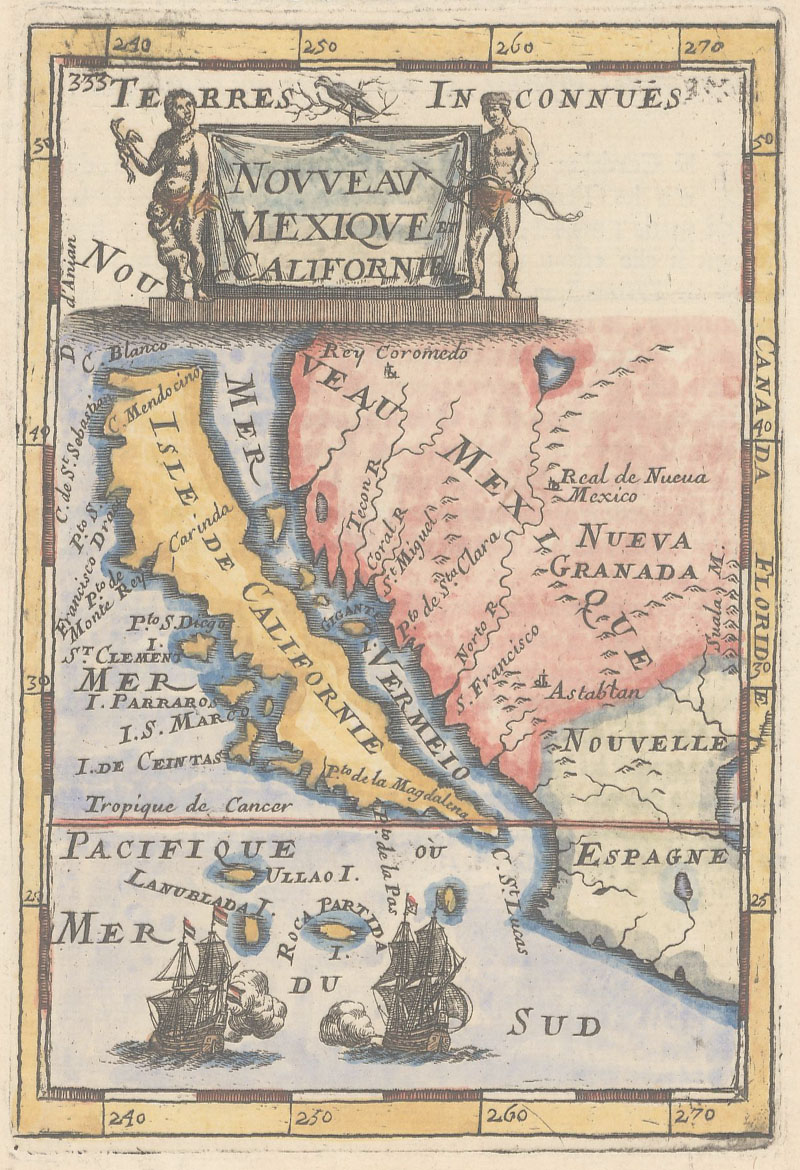
This article from July 2016 is all about the mythical "Island of California."
A Brief History of Surveying Tools in North America
This article from October 2015 overviews "A Brief History of Surveying Tools in North America."
Sea of Verrazano & The History of Papermaking
Our March 2015 Newsletter features articles on the Sea of Verrazano and the History of Papermaking for Map Collectors.
Leveling the Auction Playing Field
This article from April 2014 gives tips for both sellers and bidders in an auction.
11 articles


