Filtered by Category:United States(Show All Categories)
Showing results for:Auction 193
Catalog Archive
197 lots
Page 1 of 4
Auction 193, Lot 115
Subject: United States & Canada
Hitchcock, Edward
[Map with Book] A Geological Map of the United States and Canada [with] Outline of the Geology of the Globe, and of the United States in Particular..., 1854
Size: 24.4 x 16.3 inches (62 x 41.4 cm)
Estimate: $400 - $475
Sold for: $300
Closed on 6/21/2023
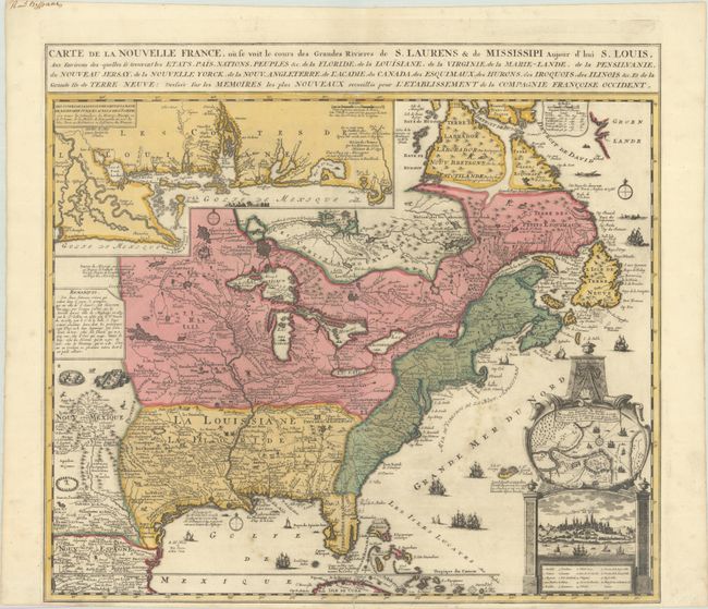
Auction 193, Lot 116
Subject: Colonial Eastern United States & Canada
Fer, Nicolas de
Carte de la Nouvelle France, ou se Voit le Cours des Grandes Rivieres de S. Laurens & de Mississipi Aujour d'hui S. Louis, aux Environs des-quelles se Trouvent les Etats, Pais, Nations, Peuples &c. de la Floride..., 1720
Size: 21.5 x 19.6 inches (54.6 x 49.8 cm)
Estimate: $2,400 - $3,000
Striking Map of French Colonial Possessions in Full Contemporary Color
Sold for: $3,000
Closed on 6/21/2023
Auction 193, Lot 117
Subject: Colonial Eastern United States & Canada
Homann Heirs
America Septentrionalis a Domino d'Anville in Galliis Edita nunc in Anglia Coloniis in Interiorem Virginiam Deductis nec non Fluvii Ohio Cursu..., 1756
Size: 20.1 x 18.1 inches (51.1 x 46 cm)
Estimate: $550 - $700
Sold for: $550
Closed on 6/21/2023
Auction 193, Lot 119
Subject: Colonial Eastern United States & Canada
Beaurain, Jean Chev. De
Carte de l'Amerique Septle pour Servir a l'Intelligence de la Guerre Entre les Anglois et les Insurgents, 1777
Size: 24.4 x 16.4 inches (62 x 41.7 cm)
Estimate: $7,000 - $8,500
Important Map Published Just Prior to France's Entrance in the Revolutionary War
Sold for: $5,000
Closed on 6/21/2023
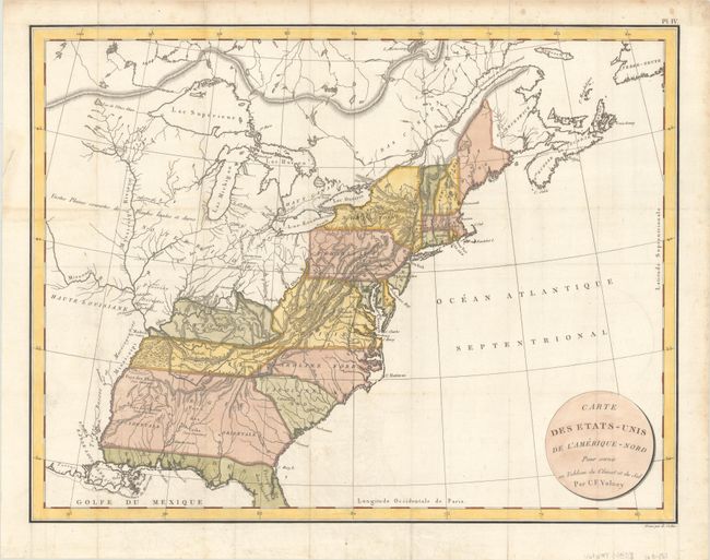
Auction 193, Lot 120
Subject: Eastern United States & Canada
Volney, C. F.
Carte des Etats-Unis de l'Amerique-Nord pour Servir au Tableau du Climat et du Sol, 1803
Size: 22.2 x 17.1 inches (56.4 x 43.4 cm)
Estimate: $190 - $220
Sold for: $140
Closed on 6/21/2023
Auction 193, Lot 121
Subject: Colonial Northeastern United States & Canada, Great Lakes
Robert de Vaugondy, Didier
Partie de l'Amerique Septent? qui Comprend la Nouvelle France ou le Canada, 1755
Size: 23.8 x 19 inches (60.5 x 48.3 cm)
Estimate: $600 - $750
Sold for: $450
Closed on 6/21/2023
Auction 193, Lot 122
Subject: Colonial Northeastern United States & Canada
Sartine
Carte Reduite des Cotes Orientales de l'Amerique Septentrionale. Contenant Celles des Provinces de New-York et de la Nouvelle Angleterre, Celles de l'Acadie ou Nouvelle Ecosse..., 1780
Size: 34.4 x 23.1 inches (87.4 x 58.7 cm)
Estimate: $800 - $950
Unsold
Closed on 6/21/2023
Auction 193, Lot 123
Subject: Northeastern United States & Canada, Great Lakes
Anon.
Part of North America, Containing Canada, the North Parts of New England and New York; with Nova Scotia and Newfoundland, 1794
Size: 11.3 x 8.1 inches (28.7 x 20.6 cm)
Estimate: $160 - $190
Sold for: $180
Closed on 6/21/2023
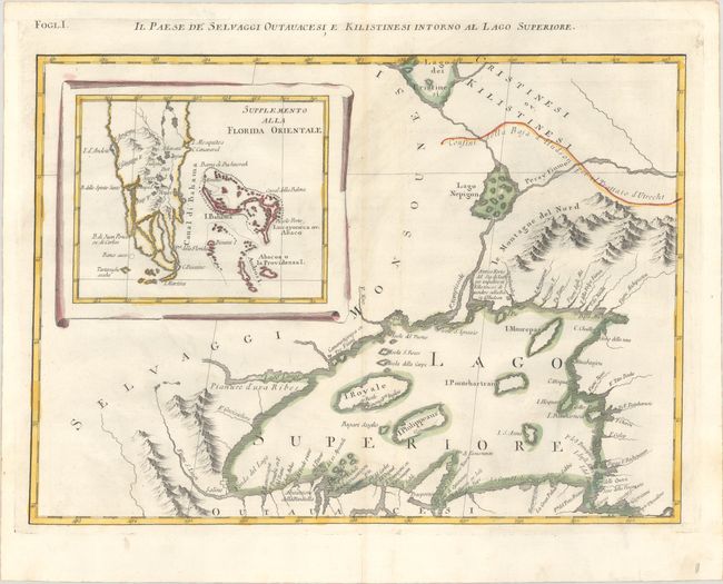
Auction 193, Lot 124
Subject: Colonial Great Lakes & Florida
Zatta, Antonio
Il Paese de Selvaggi Outauacesi, e Kilistinesi Intorno al Lago Superiore, 1778
Size: 16.9 x 12.2 inches (42.9 x 31 cm)
Estimate: $240 - $300
Sold for: $180
Closed on 6/21/2023
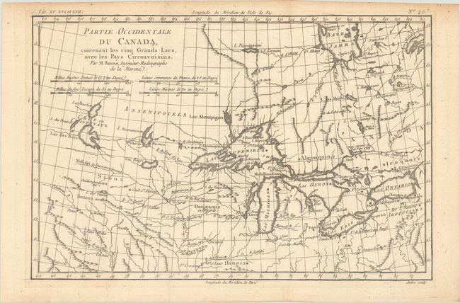
Auction 193, Lot 125
Subject: Colonial Great Lakes
Bonne, Rigobert
Partie Occidentale du Canada, Contenant les Cinq Grands Lacs, avec les Pays Circonvoisins, 1780
Size: 12.8 x 8.5 inches (32.5 x 21.6 cm)
Estimate: $200 - $230
Sold for: $150
Closed on 6/21/2023
Auction 193, Lot 126
Subject: Northern United States & Canada
Tasso, G.
America Settentrionale Disegnata Dopo i Viaggi di Lewis, Clarke, Parry e Franklin..., 1832
Size: 18.3 x 12.3 inches (46.5 x 31.2 cm)
Estimate: $375 - $450
Sold for: $275
Closed on 6/21/2023
Auction 193, Lot 127
Subject: Western Canada & Alaska
La Perouse, Comte Jean F. Galoup, de
Carte Particuliere de la Cote du Nord-Ouest de l'Amerique Reconnue par les Fregates Francaises la Boussole et l'Astrolabe. en 1786 2e Feuille, 1797
Size: 27.3 x 19.8 inches (69.3 x 50.3 cm)
Estimate: $140 - $170
Sold for: $100
Closed on 6/21/2023
Auction 193, Lot 128
Subject: Northwestern United States & Canada
Wilkes, Charles
Map of the Oregon Territory from the Best Authorities, 1849
Size: 13.3 x 8.5 inches (33.8 x 21.6 cm)
Estimate: $200 - $230
Sold for: $250
Closed on 6/21/2023
Auction 193, Lot 129
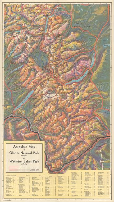
Subject: Glacier National Park, Waterton Lakes & Banff
Railroad Companies, (Various)
[Lot of 2] Aeroplane Map of Glacier National Park Montana and Waterton Lakes Park Alberta [and] The Canadian Rockies - Banff National Park - Yoho Park - Kootenay Park [in] Resorts in the Rockies, 1927-35
Size: See Description
Estimate: $250 - $325
Sold for: $250
Closed on 6/21/2023
Auction 193, Lot 130
Subject: United States
Mitchell, Samuel Augustus
No. 5 Map of the United States Engraved to Illustrate Mitchell's School and Family Geography, 1849
Size: 16.8 x 10.5 inches (42.7 x 26.7 cm)
Estimate: $200 - $230
Sold for: $130
Closed on 6/21/2023
Auction 193, Lot 131
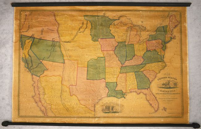
Subject: United States, Gold
Reed & Barber
Map of the United States of America with Its Territories & Districts, Including Also a Part of Upper & Lower Canada and Mexico, 1851
Size: 41 x 28 inches (104.1 x 71.1 cm)
Estimate: $2,400 - $3,000
Wall Map Featuring an Oversized California Gold Region
Sold for: $1,800
Closed on 6/21/2023
Auction 193, Lot 132
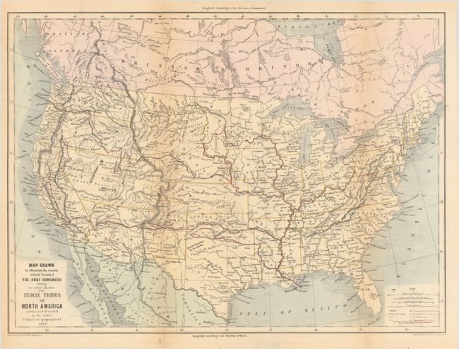
Subject: United States
Bineteau, P.
Map Drawn to Illustrate the Travels & from the Documents of the Abbe Domenech Showing the Actual Situation of the Indian Tribes of North America..., 1860
Size: 18.1 x 13.4 inches (46 x 34 cm)
Estimate: $200 - $230
Sold for: $150
Closed on 6/21/2023
Auction 193, Lot 133
Subject: United States
Mitchell, Samuel Augustus
Map of the United States, and Territories. Together with Canada &c., 1860
Size: 21.5 x 13.3 inches (54.6 x 33.8 cm)
Estimate: $150 - $180
Sold for: $110
Closed on 6/21/2023
Auction 193, Lot 134
Subject: United States, Civil War
Johnson and Ward
Johnson's New Military Map of the United States Showing the Forts, Military Posts &c. with Enlarged Plans of Southern Harbors..., 1861
Size: 24 x 17.5 inches (61 x 44.5 cm)
Estimate: $200 - $230
Sold for: $150
Closed on 6/21/2023
Auction 193, Lot 135
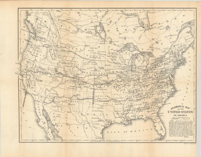
Subject: United States
U.S. Government
Statistical Map of the United States of America, 1864
Size: 19.8 x 14.8 inches (50.3 x 37.6 cm)
Estimate: $100 - $130
Sold for: $75
Closed on 6/21/2023
Auction 193, Lot 136
Subject: United States
Society for Promoting Christian Knowledge (SPCK)
The United States of North America, 1865
Size: 15.3 x 12.6 inches (38.9 x 32 cm)
Estimate: $140 - $170
Sold for: $100
Closed on 6/21/2023
Auction 193, Lot 137
Subject: United States
General Land Office
Map of the United States and Territories. Shewing the Extent of Public Surveys and Other Details Constructed from the Plats and Official Sources of the General Land Office..., 1866
Size: 55.3 x 28.5 inches (140.5 x 72.4 cm)
Estimate: $250 - $325
Sold for: $130
Closed on 6/21/2023
Auction 193, Lot 138
Subject: United States, Railroads
U.S. Government
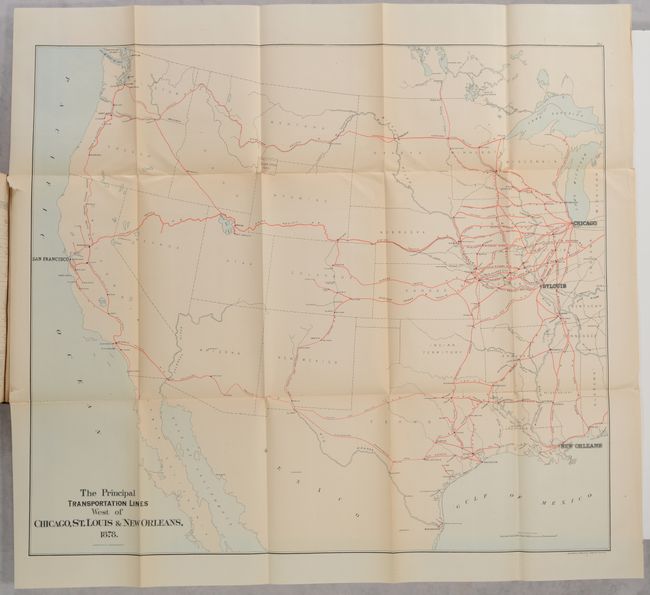
[8 Maps in Report] Report on the Internal Commerce of the United States, 1879
Size: 6.1 x 9.3 inches (15.5 x 23.6 cm)
Estimate: $160 - $190
Nimmo's Critical First Report on Railroads
Sold for: $220
Closed on 6/21/2023
Auction 193, Lot 139
Subject: United States
Rand McNally & Co.
A New and Correct Map of the Chicago & North-Western Railway and its Connections…, 1880
Size: 42.4 x 15.4 inches (107.7 x 39.1 cm)
Estimate: $150 - $180
Sold for: $120
Closed on 6/21/2023
Auction 193, Lot 140
Subject: United States
U.S. Army
Map of Land-Grant and Bond-Aided Railroads of the United States, 1892
Size: 37.9 x 26.5 inches (96.3 x 67.3 cm)
Estimate: $200 - $230
Sold for: $150
Closed on 6/21/2023
Auction 193, Lot 141
Subject: United States
[Map with Book] Martin Ulvestads Kart over de Forenede Stater og "Norge I Amerika" [on verso] Marti Ulvestads Kart over Nordvesten og Hovedstroget af "Norge I Amerika" [with] Norge I Amerika med Kart, 1901
Size: 27.1 x 18 inches (68.8 x 45.7 cm)
Estimate: $400 - $500
Documents Norwegian Migration to the United States
Unsold
Closed on 6/21/2023
Auction 193, Lot 142
Subject: United States, Railroads
[Lot of 2] ABC - The Pathfinder Trailway Guide Map. Western Section [and] Eastern Section, 1901-10
Size: See Description
Estimate: $250 - $325
Sold for: $180
Closed on 6/21/2023
Auction 193, Lot 143
Subject: United States
Scarborough Company, The
[Lot of 2] Western Part of the United States of America Including All Its Newly Acquired Territory [and] Eastern Part of the United States of America..., 1903
Size: 34.3 x 39.5 inches (87.1 x 100.3 cm)
Estimate: $350 - $425
Unsold
Closed on 6/21/2023
Auction 193, Lot 144
Subject: United States
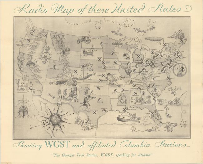
Radio Map of These United States Showing WGST and Affiliated Columbia Stations, 1930
Size: 15 x 10.4 inches (38.1 x 26.4 cm)
Estimate: $160 - $190
Sold for: $120
Closed on 6/21/2023
Auction 193, Lot 145
Subject: United States
Clason Map Company
Clason's Road Map of United States Showing Paved Roads, All Weather Roads and Other Thoroughfares [on verso] Clason's Guide Map of United States [with] Clason's United State Green Guide, 1931
Size: 32.8 x 20.7 inches (83.3 x 52.6 cm)
Estimate: $150 - $180
Early United States Trans-Continental Road Map
Sold for: $75
Closed on 6/21/2023
Auction 193, Lot 146
Subject: United States
Paul Bunyan's Pictorial Map of the United States Depicting Some of His Deeds and Exploits, 1935
Size: 28.8 x 19 inches (73.2 x 48.3 cm)
Estimate: $400 - $500
Sold for: $300
Closed on 6/21/2023
Auction 193, Lot 147
Subject: United States
Poole Bros.
[Untitled - United States], 1936
Size: 31.3 x 25.8 inches (79.5 x 65.5 cm)
Estimate: $300 - $375
Sold for: $220
Closed on 6/21/2023
Auction 193, Lot 148
Subject: United States, Aviation
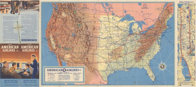
American Airlines Inc. Comprehensive Map Showing the Commercial Air Transport System of the United States, 1938
Size: 27.7 x 17.5 inches (70.4 x 44.5 cm)
Estimate: $160 - $190
A Very Early American Airlines Map
Sold for: $210
Closed on 6/21/2023
Auction 193, Lot 149
Subject: United States, World War II
Portrait of America 1939, 1939
Size: 20.9 x 14.1 inches (53.1 x 35.8 cm)
Estimate: $90 - $110
NO RESERVE
Sold for: $70
Closed on 6/21/2023
Auction 193, Lot 150
Subject: United States, World War II
Hammond, C. S.
Defense Map of United States Prepared by C.S. Hammond & Co. N.Y. Showing the Mobilization of Our Military and Economic Resources, 1941
Size: 31 x 21.1 inches (78.7 x 53.6 cm)
Estimate: $400 - $475
Sold for: $300
Closed on 6/21/2023
Auction 193, Lot 151
Subject: United States
[Amerika Gasshukoku. Shuyo Chiho Shigen Sanbutsu Oyobi Fukei Eiri Chizu - A Pictorial Map of the United States of America Showing Principal Regional Resources, Products and Natural Features], 1955
Size: 31.1 x 23.2 inches (79 x 58.9 cm)
Estimate: $160 - $190
Sold for: $50
Closed on 6/21/2023
Auction 193, Lot 152
Subject: United States
Pictorial Wildlife and Game Map of the United States, 1956
Size: 26.8 x 18.9 inches (68.1 x 48 cm)
Estimate: $240 - $300
Sold for: $425
Closed on 6/21/2023
Auction 193, Lot 153
Subject: United States
U.S. Corps of Engineers
Major Army, Navy and Air Force Installations in the United States, 1959
Size: 55.3 x 37.4 inches (140.5 x 95 cm)
Estimate: $90 - $120
NO RESERVE
Sold for: $75
Closed on 6/21/2023
Auction 193, Lot 154
Subject: United States
The 50 United States of America, 1960
Size: 25 x 17.9 inches (63.5 x 45.5 cm)
Estimate: $140 - $170
Unsold
Closed on 6/21/2023
Auction 193, Lot 155
Subject: Eastern United States, Franklin
Brion de la Tour, Louis
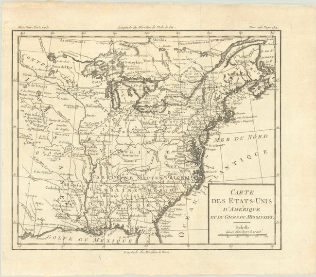
Carte des Etats-Unis d'Amerique et du Cours du Mississipi, 1785
Size: 10.6 x 8.7 inches (26.9 x 22.1 cm)
Estimate: $900 - $1,100
Sold for: $900
Closed on 6/21/2023
Auction 193, Lot 156
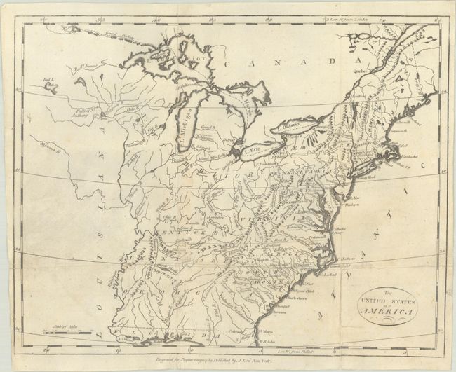
Subject: Eastern United States
Payne, John
The United States of America, 1800
Size: 12.1 x 9.6 inches (30.7 x 24.4 cm)
Estimate: $275 - $350
Sold for: $200
Closed on 6/21/2023
Auction 193, Lot 157
Subject: Eastern United States
Botta, Carlo
[Lot of 2] Le Provincie Settentrionali degli Stati Uniti [with] Le Provincie Meridionali degli Stati Uniti, 1809
Size: 18.1 x 12 inches (46 x 30.5 cm)
Estimate: $200 - $230
Sold for: $150
Closed on 6/21/2023
Auction 193, Lot 158
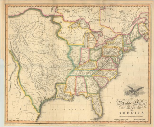
Subject: Eastern United States
Melish, John
United States of America Compiled from the Latest & Best Authorities, 1818
Size: 19.7 x 16.3 inches (50 x 41.4 cm)
Estimate: $2,000 - $2,300
Early & Separately Issued Version of Melish's Important Map
Sold for: $3,000
Closed on 6/21/2023
Auction 193, Lot 159
Subject: Eastern United States
Mitchell/Young
Map of the United States, 1831
Size: 35.4 x 44.9 inches (89.9 x 114 cm)
Estimate: $1,400 - $1,700
First Edition of Mitchell's Wall Map - His Inaugural Production
Sold for: $1,700
Closed on 6/21/2023
Auction 193, Lot 160
Subject: Eastern United States
Railroad Companies, (Various)
Atlantic & Great Western Railway Connecting New York with St. Louis (Cleveland and Cincinnati) Without Change of Carriage, 1865
Size: 16.4 x 8.4 inches (41.7 x 21.3 cm)
Estimate: $150 - $180
Sold for: $45
Closed on 6/21/2023
Auction 193, Lot 161
Subject: Eastern United States
Walker, Francis
Map Showing the Degree of Taxation per Capita Imposed by State, County or Municipal Authority, Within the Fiscal Year Nearest the Census Year..., 1874
Size: 14.9 x 19.8 inches (37.8 x 50.3 cm)
Estimate: $100 - $130
Sold for: $140
Closed on 6/21/2023
Auction 193, Lot 162
Subject: Eastern United States Cities
Mitchell, Samuel Augustus
[Lot of 6] Plan of New York &c. [and] Plan of Boston [and] Plan of Philadelphia [and] Plan of Baltimore [and] Plan of New Orleans [and] Plan of Cincinnati and Vicinity, 1860
Size: See Description
Estimate: $180 - $210
Sold for: $160
Closed on 6/21/2023
Auction 193, Lot 163
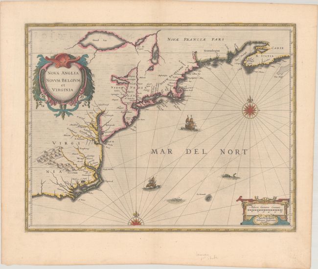
Subject: Colonial New England & Mid-Atlantic United States
Jansson, Jan
Nova Anglia Novum Belgium et Virginia, 1638
Size: 19.9 x 15.3 inches (50.5 x 38.9 cm)
Estimate: $1,200 - $1,500
Jansson's Influential Map of the East Coast
Sold for: $900
Closed on 6/21/2023
Auction 193, Lot 164
Subject: Colonial New England & Mid-Atlantic United States
Blaeu, Willem
Nova Belgica et Anglia Nova, 1640
Size: 19.7 x 15.3 inches (50 x 38.9 cm)
Estimate: $2,000 - $2,300
Important Map of Colonial New England and the Mid-Atlantic
Sold for: $2,500
Closed on 6/21/2023
Auction 193, Lot 165
Subject: Colonial New England & Mid-Atlantic United States
Allard, Hugo
Totius Neobelgii Nova et Accuratissima Tabula, 1674
Size: 21.3 x 18.4 inches (54.1 x 46.7 cm)
Estimate: $11,000 - $14,000
Exceedingly Rare 2nd State Known in only 2 Other Examples
Unsold
Closed on 6/21/2023
197 lots
Page 1 of 4


