Filtered by Category:Canada(Show All Categories)
Showing results for:Auction 198
Catalog Archive
19 lots
Auction 198, Lot 80
Subject: Canada
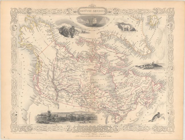
Tallis, John
British America, 1850
Size: 13 x 10.3 inches (33 x 26.2 cm)
Estimate: $200 - $230
Sold for: $130
Closed on 6/19/2024
Auction 198, Lot 81
Subject: Eastern Canada & Greenland
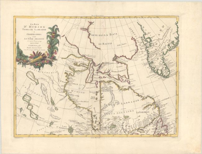
Zatta, Antonio
La Baja d'Hudson Terra di Labrador e Groenlandia con le Isole Adiacenti di Nuova Projezione, 1778
Size: 16.2 x 11.8 inches (41.1 x 30 cm)
Estimate: $150 - $180
Sold for: $110
Closed on 6/19/2024
Auction 198, Lot 82
Subject: Eastern Canada
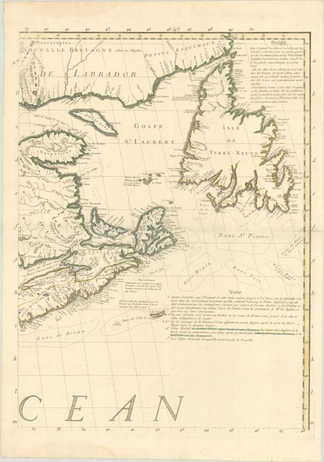
Mitchell/Le Rouge
[Northeastern Sheet] Amerique Septentrionale avec les Routes, Distances en Miles, Villages et Etablissements Francois et Anglois..., 1756
Size: 19.4 x 25.9 inches (49.3 x 65.8 cm)
Estimate: $400 - $475
Sold for: $425
Closed on 6/19/2024
Auction 198, Lot 83
Subject: Eastern Canada, Quebec
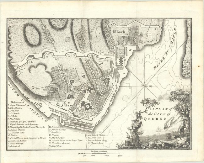
Weld, Isaac
[Lot of 2] A Plan of the City of Quebec [and] A New Map of Upper & Lower Canada, 1798
Size: See Description
Estimate: $240 - $300
Unsold
Closed on 6/19/2024
Auction 198, Lot 84
Subject: Newfoundland, Canada
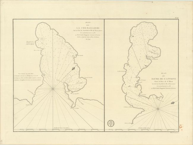
Depot de la Marine
Plan de la Cremailliere sur la Cote du Nord-Est de l'Ile de Terre-Neuve... [on sheet with] Plan du Havre de St. Antoine dans la Baie de St. Meen..., 1792
Size: 22.5 x 15.4 inches (57.2 x 39.1 cm)
Estimate: $180 - $220
Sold for: $90
Closed on 6/19/2024
Auction 198, Lot 85
Subject: Ile d'Orleans & St. Lawrence River, Canada
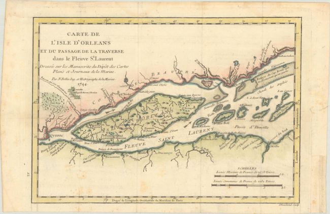
Bellin, Jacques Nicolas
Carte de l'Isle d'Orleans et du Passage de la Traverse dans le Fleuve St. Laurent Dressee sur les Manuscrits du Depot des Cartes Plans et Journaux de la Marine, 1744
Size: 10.9 x 7.6 inches (27.7 x 19.3 cm)
Estimate: $120 - $150
Sold for: $75
Closed on 6/19/2024
Auction 198, Lot 86
Subject: Quebec, Canada
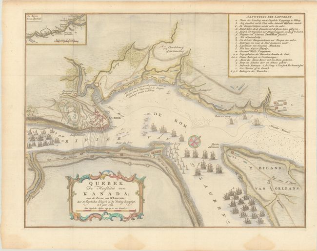
Tirion, Isaac
Quebek, de Hoofdstad van Kanada; aan de Rivier van St. Laurens: door de Engelschen Belegerd en by Verdrag Bemagtigd, in't Jaar 1759, 1769
Size: 17 x 13 inches (43.2 x 33 cm)
Estimate: $275 - $350
Sold for: $200
Closed on 6/19/2024
Auction 198, Lot 87
Subject: Central Canada
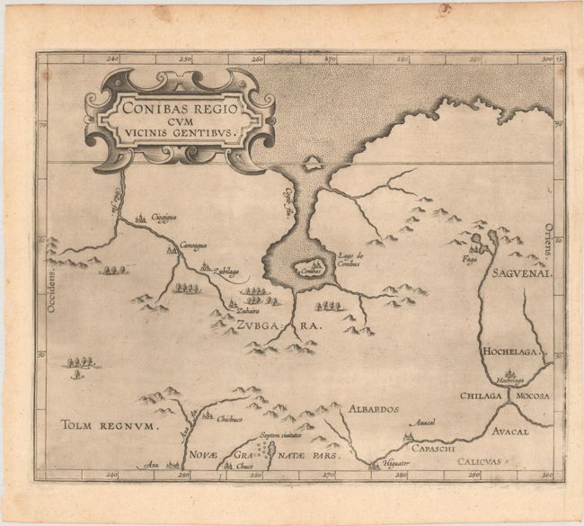
Wytfliet, Cornelis
Conibas Regio cum Vicinis Gentibus, 1597
Size: 10.8 x 8.7 inches (27.4 x 22.1 cm)
Estimate: $1,000 - $1,300
The Earliest Map of Central Canada and Montreal
Sold for: $650
Closed on 6/19/2024
Auction 198, Lot 88
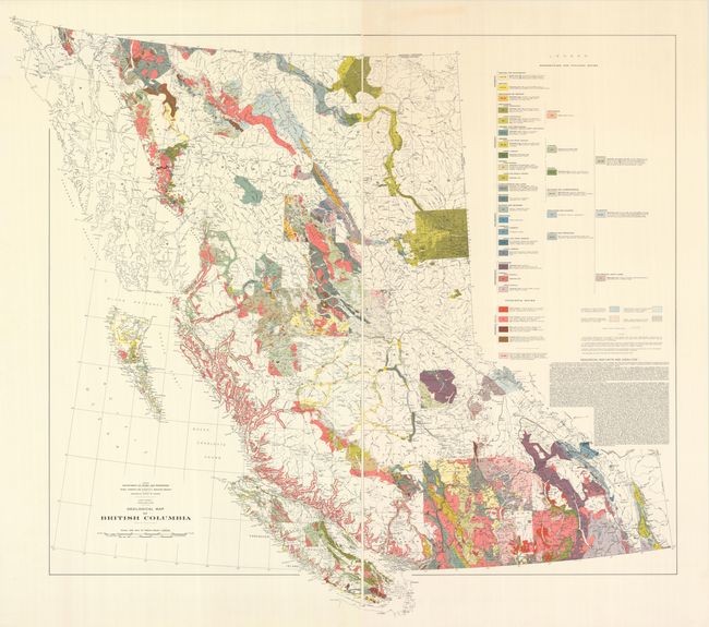
Subject: Western Canada, British Columbia
[On 2 Sheets] Geological Map of British Columbia, 1948
Size: 26 x 43.5 inches (66 x 110.5 cm)
Estimate: $160 - $190
Unsold
Closed on 6/19/2024
Auction 198, Lot 89
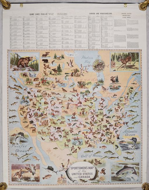
Subject: United States & Canada
Geographical Publishing Co.
Sportsmen's Map of the United States and Canada, 1946
Size: 26.1 x 26.2 inches (66.3 x 66.5 cm)
Estimate: $200 - $250
Sold for: $120
Closed on 6/19/2024
Auction 198, Lot 90
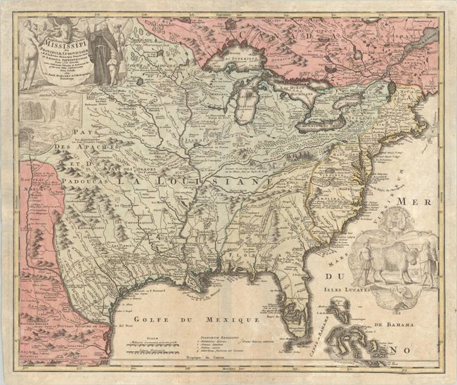
Subject: Colonial Eastern United States & Canada
Homann, Johann Baptist
Amplissimae Regionis Mississipi seu Provinciae Ludovicianae a R.P. Ludovico Hennepin Francisc Miss in America Septentrionali Anno 1687..., 1720
Size: 23 x 19.4 inches (58.4 x 49.3 cm)
Estimate: $2,000 - $2,300
Striking Map of Colonial America with Bison Vignette
Sold for: $1,500
Closed on 6/19/2024
Auction 198, Lot 91
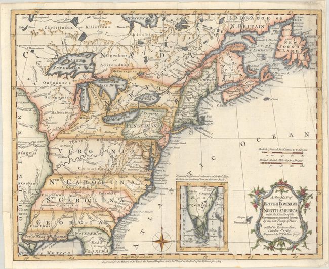
Subject: Colonial Eastern United States & Canada
Kitchin, Thomas
A New Map of the British Dominions in North America; with the Limits of the Governments Annexed Thereto by the Late Treaty of Peace, and Settled by Proclamation, October 7th 1763, 1763
Size: 11.9 x 9.6 inches (30.2 x 24.4 cm)
Estimate: $600 - $750
Sold for: $650
Closed on 6/19/2024
Auction 198, Lot 92
Subject: Colonial Eastern United States & Canada
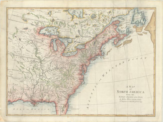
Blair, Rev. John
A Map of North America from the Latest Surveys and Maps, 1768
Size: 22.6 x 16.6 inches (57.4 x 42.2 cm)
Estimate: $550 - $700
Sold for: $400
Closed on 6/19/2024
Auction 198, Lot 93
Subject: Colonial Eastern United States & Canada
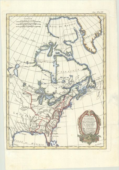
Bonne, Rigobert
Partie du Nord de l'Amerique Septentrionale pour Servir a l'Histoire Philosophique et Politique des Etablissemens et du Commerce des Europeens dans les Deux Indes, 1774
Size: 9.3 x 12.6 inches (23.6 x 32 cm)
Estimate: $200 - $230
Sold for: $150
Closed on 6/19/2024
Auction 198, Lot 94
Subject: Colonial Great Lakes, Florida
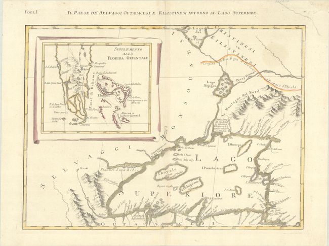
Zatta, Antonio
Il Paese de' Selvaggi Outauacesi, e Kilistinesi Intorno al Lago Superiore, 1778
Size: 16.7 x 12.1 inches (42.4 x 30.7 cm)
Estimate: $325 - $400
Unsold
Closed on 6/19/2024
Auction 198, Lot 95
Subject: Alaska & Western Canada
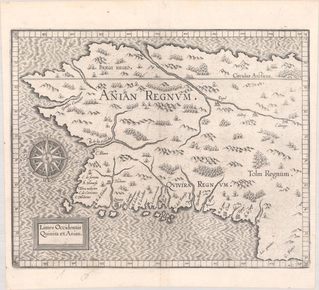
Wytfliet, Cornelis
Limes Occidentis Quivira et Anian, 1607
Size: 11.6 x 9.3 inches (29.5 x 23.6 cm)
Estimate: $1,800 - $2,200
Early and Imaginary Map of Alaska and the Northwest Passage
Sold for: $1,000
Closed on 6/19/2024
Auction 198, Lot 96
Subject: Northwestern United States & Canada, Southeast Alaska
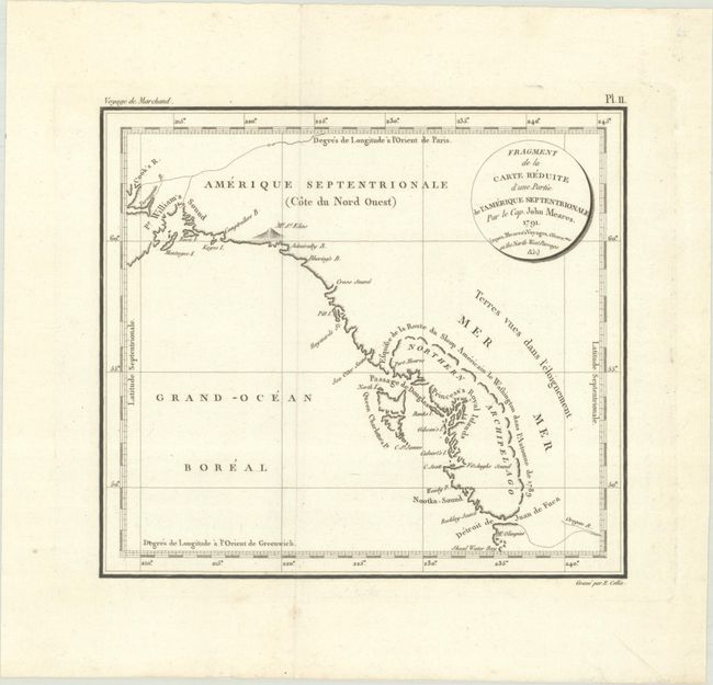
Meares, John (Capt.)
Fragment de la Carte Reduite d'une Partie de l'Amerique Septentrionale par le Cap. John Meares. 1791..., 1798
Size: 9.4 x 8.4 inches (23.9 x 21.3 cm)
Estimate: $375 - $450
Sold for: $275
Closed on 6/19/2024
Auction 198, Lot 97
Subject: Northwestern United States & Canada
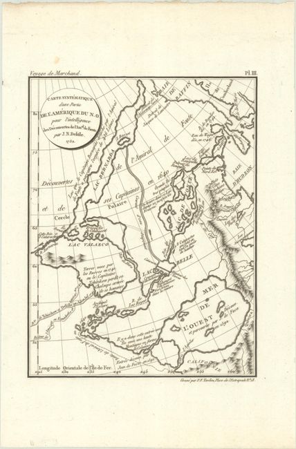
Delisle, Joseph Nicholas
Carte Systematique d'une Partie de l'Amerique du N.O. pour l'Intelligence des Decouvertes de Amal. de Fuente. par J.N. Delisle. 1752, 1798
Size: 6.2 x 8.1 inches (15.7 x 20.6 cm)
Estimate: $325 - $400
Sold for: $200
Closed on 6/19/2024
Auction 198, Lot 98
Subject: Northwestern United States & Canada
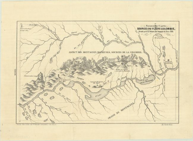
De Smet, Father Pierre-Jean
[Lot of 2] Nouvelle Carte des Sources du Fleuve Colombie [and] Nouvelle Carte des Sources de la Riviere Tete-Plate, 1846
Size: 8.2 x 5.2 inches (20.8 x 13.2 cm)
Estimate: $240 - $300
Sold for: $300
Closed on 6/19/2024
19 lots


