Showing Featured Lots(remove filter)
Showing results for:Auction 198
Catalog Archive
48 lots
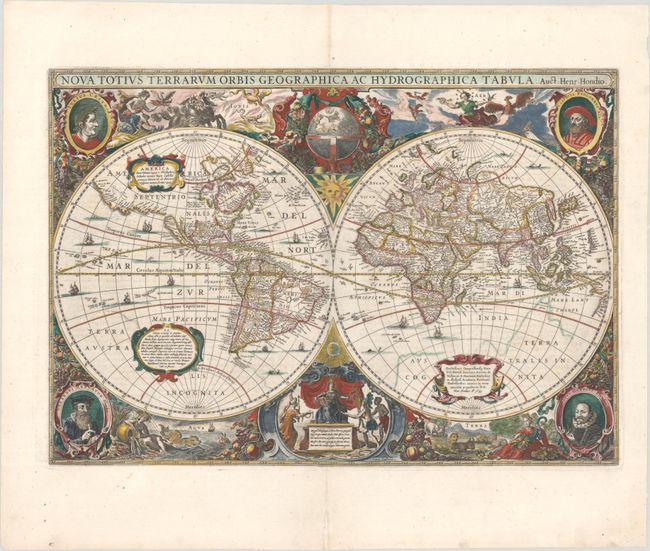
Auction 198, Lot 3
Subject: World
Hondius, Henricus
Nova Totius Terrarum Orbis Geographica ac Hydrographica Tabula, 1641
Size: 21.5 x 15 inches (54.6 x 38.1 cm)
Estimate: $9,500 - $11,000
Henricus Hondius' Baroque-Style World Map
Sold for: $7,500
Closed on 6/19/2024
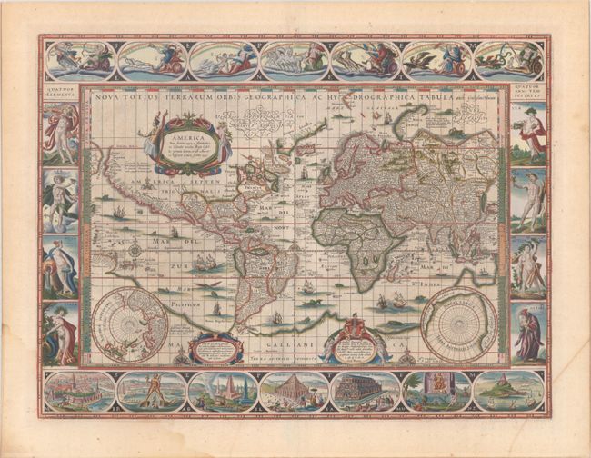
Auction 198, Lot 4
Subject: World
Blaeu, Willem
Nova Totius Terrarum Orbis Geographica ac Hydrographica Tabula, 1642
Size: 21.4 x 16.1 inches (54.4 x 40.9 cm)
Estimate: $12,000 - $15,000
Blaeu's Magnificent Carte-a-Figures World Map in Full Contemporary Color
Sold for: $9,000
Closed on 6/19/2024
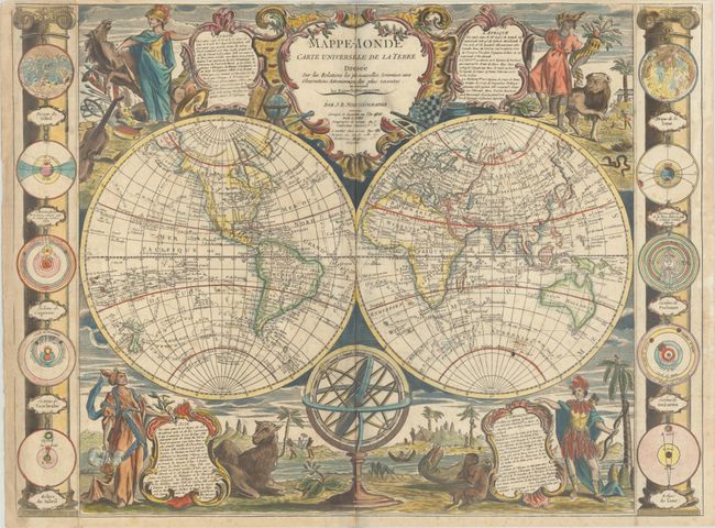
Auction 198, Lot 19
Subject: World
Nolin/Denis
Mappe-Monde Carte Universelle de la Terre Dressee sur les Relations les Plus Nouvelles, Soumises aux Observations Astronomiques les Plus Recentes..., 1811
Size: 25.4 x 19 inches (64.5 x 48.3 cm)
Estimate: $2,750 - $3,500
An Interesting Combination of Old and New Cartography with Superb Embellishments
Unsold
Closed on 6/19/2024
Auction 198, Lot 47
Subject: Cartographic Miscellany, Internet
Road Map to the Internet - The Internet, 1994
Size: 35.8 x 23.8 inches (90.9 x 60.5 cm)
Estimate: $2,000 - $2,300
Scarce and Groundbreaking Map of the Early Internet
Sold for: $1,000
Closed on 6/19/2024
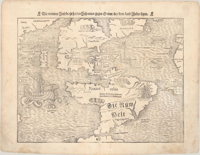
Auction 198, Lot 49
Subject: Western Hemisphere - America
Munster, Sebastian
Die Neuwen Inseln /so Hinder Hispanien Gegen Orient bey dem Landt Indie Ligen, 1556
Size: 13.5 x 10.1 inches (34.3 x 25.7 cm)
Estimate: $5,000 - $6,000
One of the Most Important 16th Century Maps of the New World
Sold for: $3,750
Closed on 6/19/2024
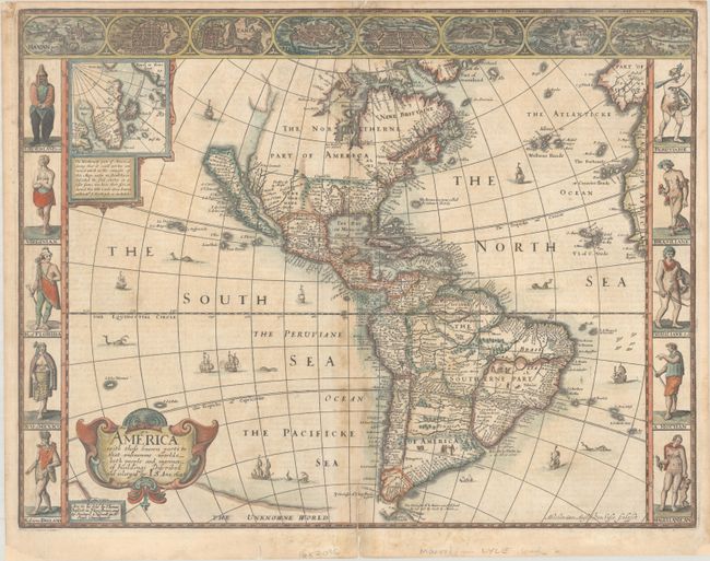
Auction 198, Lot 51
Subject: Western Hemisphere - America
Speed, John
America with Those Known Parts in that Unknowne Worlde Both People and Manner of Buildings Discribed and Inlarged, 1626
Size: 20.3 x 15.6 inches (51.6 x 39.6 cm)
Estimate: $4,000 - $4,750
Speed's Popular Carte-a-Figures Map of the Americas
Sold for: $2,750
Closed on 6/19/2024
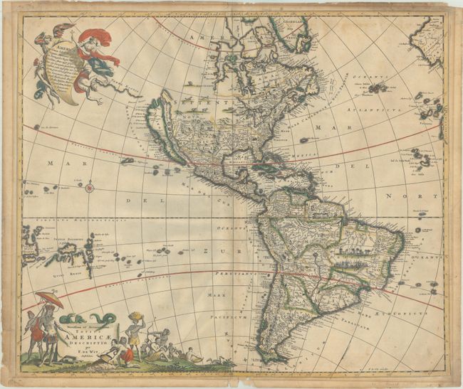
Auction 198, Lot 52
Subject: Western Hemisphere - America
Wit, Frederick de
Novissima et Accuratissima Totius Americae Descriptio, 1689
Size: 22.8 x 19.3 inches (57.9 x 49 cm)
Estimate: $1,100 - $1,400
Classic Map of the Americas with the Island of California in Full Contemporary Color
Sold for: $850
Closed on 6/19/2024
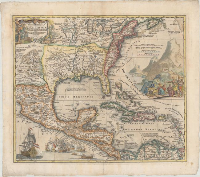
Auction 198, Lot 77
Subject: Colonial Eastern North America & West Indies
Homann, Johann Baptist
Regni Mexicani seu Novae Hispaniae, Ludovicianae, N. Angliae, Carolinae, Virginiae et Pensylvaniae, nec non Insularum Archipelagi Mexicani in America Septentrionali Accurata Tabula, 1720
Size: 21.9 x 18.4 inches (55.6 x 46.7 cm)
Estimate: $1,600 - $1,900
Homann's Decorative Map of Colonial America in the Era of the War of the Spanish Succession
Sold for: $1,200
Closed on 6/19/2024
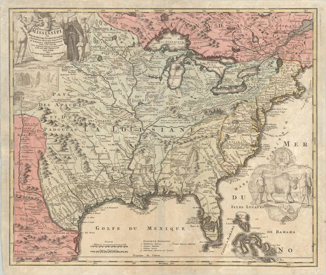
Auction 198, Lot 90
Subject: Colonial Eastern United States & Canada
Homann, Johann Baptist
Amplissimae Regionis Mississipi seu Provinciae Ludovicianae a R.P. Ludovico Hennepin Francisc Miss in America Septentrionali Anno 1687..., 1720
Size: 23 x 19.4 inches (58.4 x 49.3 cm)
Estimate: $2,000 - $2,300
Striking Map of Colonial America with Bison Vignette
Sold for: $1,500
Closed on 6/19/2024
Auction 198, Lot 95
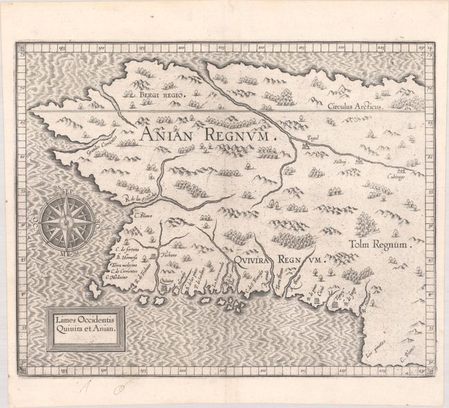
Subject: Alaska & Western Canada
Wytfliet, Cornelis
Limes Occidentis Quivira et Anian, 1607
Size: 11.6 x 9.3 inches (29.5 x 23.6 cm)
Estimate: $1,800 - $2,200
Early and Imaginary Map of Alaska and the Northwest Passage
Sold for: $1,000
Closed on 6/19/2024
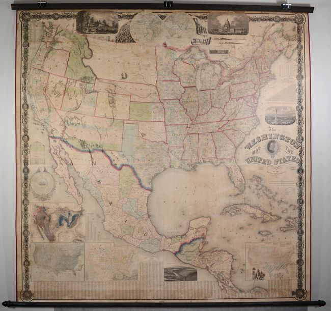
Auction 198, Lot 104
Subject: United States
Maury, M. F.
The Washington Map of the United States, 1861
Size: 68 x 67 inches (172.7 x 170.2 cm)
Estimate: $2,000 - $2,500
Taintor Edition of Maury's Spectacular Wall Map
Sold for: $2,100
Closed on 6/19/2024
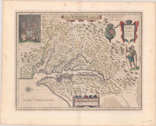
Auction 198, Lot 122
Subject: Colonial Mid-Atlantic United States
Hondius/Blaeu
Nova Virginiae Tabula, 1642
Size: 18.9 x 14.8 inches (48 x 37.6 cm)
Estimate: $1,900 - $2,200
One of the Most Important 17th Century Maps of the Chesapeake Bay in Full Contemporary Color
Sold for: $1,250
Closed on 6/19/2024
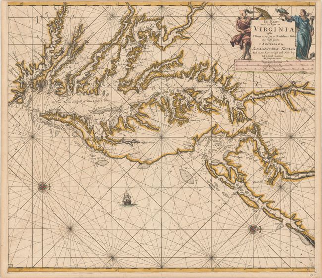
Auction 198, Lot 123
Subject: Colonial Chesapeake & Delaware Bays
Keulen, Johannes van
Pas Kaart van de Zee Kusten van Virginia Tusschen C Henry en t Hooge Land van Renselaars Hoek, 1695
Size: 23.1 x 20.3 inches (58.7 x 51.6 cm)
Estimate: $4,000 - $4,750
One of the Earliest Maps to Show Philadelphia
Sold for: $3,500
Closed on 6/19/2024
Auction 198, Lot 125
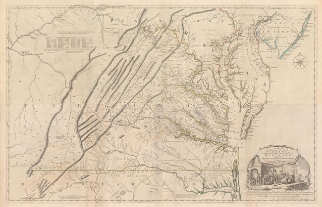
Subject: Colonial Mid-Atlantic United States, Virginia
Fry, Joshua & Jefferson, Peter
[On 4 Sheets] A Map of the Most Inhabited Part of Virginia Containing the Whole Province of Maryland with Part of Pensilvania, New Jersey and North Carolina, 1775
Size: 48.4 x 15.7 inches (122.9 x 39.9 cm)
Estimate: $15,000 - $18,000
1775 Edition of the Landmark Fry-Jefferson Map of Virginia and Maryland
Sold for: $11,000
Closed on 6/19/2024
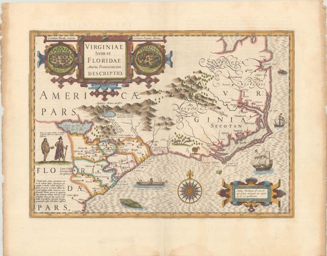
Auction 198, Lot 127
Subject: Colonial Southeastern United States
Mercator/Hondius
Virginiae Item et Floridae Americae Provinciarum, Nova Descriptio, 1636
Size: 19.1 x 13.6 inches (48.5 x 34.5 cm)
Estimate: $2,000 - $2,300
A Seminal Map of the Southeast and Early American Cartography with English Text
Sold for: $1,700
Closed on 6/19/2024
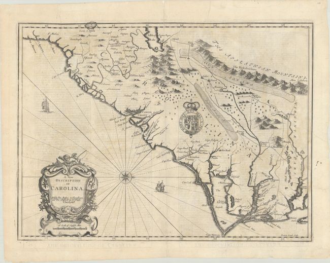
Auction 198, Lot 128
Subject: Colonial Southeastern United States
Speed/Lamb
A New Description of Carolina, 1676
Size: 19.8 x 14.8 inches (50.3 x 37.6 cm)
Estimate: $2,400 - $3,000
Speed's Map of the Carolinas Based Upon the Lords Proprietor's Map
Unsold
Closed on 6/19/2024
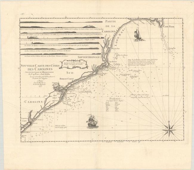
Auction 198, Lot 132
Subject: Colonial Southeastern United States
Le Rouge, George Louis
Nouvelle Carte des Cotes des Carolines Septentrionales et Meridionales du Cap Fear a Sud Edisto..., 1777
Size: 21.3 x 16.1 inches (54.1 x 40.9 cm)
Estimate: $1,400 - $1,700
Rare French Chart of the Carolina Coast
Unsold
Closed on 6/19/2024
Auction 198, Lot 133
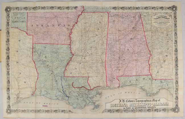
Subject: Southeastern United States, Civil War
Colton, Joseph Hutchins
J.H. Colton's Topographical Map of Louisiana, Mississippi and Alabama. & Part of Adjoining States, 1864
Size: 31.4 x 19.8 inches (79.8 x 50.3 cm)
Estimate: $1,000 - $1,500
Civil War Era Pocket Map with Manuscript Additions
Sold for: $575
Closed on 6/19/2024
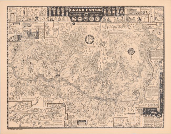
Auction 198, Lot 159
Subject: Grand Canyon, Arizona
Mora, Joseph Jacinto
Grand Canyon, 1931
Size: 25.9 x 20.3 inches (65.8 x 51.6 cm)
Estimate: $1,200 - $1,500
Original Printing of Jo Mora's Classic Pictorial Map of the Grand Canyon
Sold for: $850
Closed on 6/19/2024
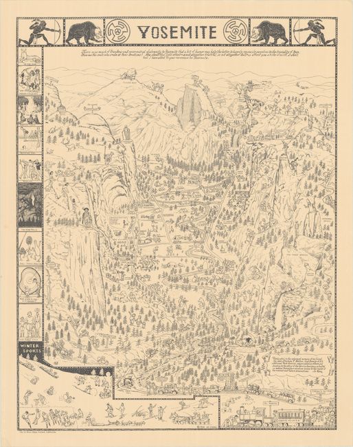
Auction 198, Lot 164
Subject: Yosemite, California
Mora, Joseph Jacinto
Yosemite, 1931
Size: 20.1 x 25.8 inches (51.1 x 65.5 cm)
Estimate: $1,200 - $1,500
Original Printing of Jo Mora's Classic Pictorial Map of Yosemite
Sold for: $1,200
Closed on 6/19/2024
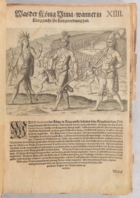
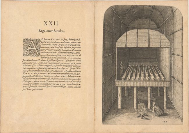
Auction 198, Lot 190
Subject: Florida, Natives
Bry, Theodore de
[Grands Voyages, Part II] Der Ander Theil / der Newlich Erfundenen Landtschafft Americae, von Dreyen Schiffahrten / so die Frantzosen in Floridam..., 1603
Size: 9.1 x 13.4 inches (23.1 x 34 cm)
Estimate: $2,400 - $3,000
Text and Native Floridian Plates from Part II of Grands Voyages
Sold for: $2,750
Closed on 6/19/2024
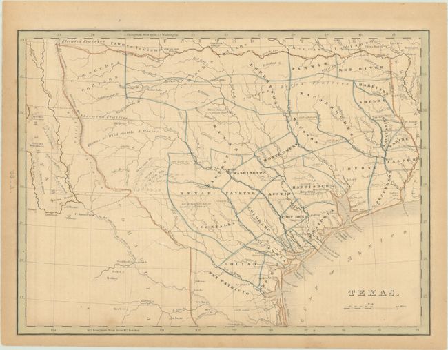
Auction 198, Lot 246
Subject: Republic of Texas
Bradford, Thomas Gamaliel
Texas, 1843
Size: 10.5 x 7.8 inches (26.7 x 19.8 cm)
Estimate: $1,500 - $1,800
Bradford's Map of Texas Showing Early Counties Instead of Land Grants
Sold for: $1,300
Closed on 6/19/2024
Auction 198, Lot 258
Subject: Virginia, Native Americans
Bry, Theodore de
[Grands Voyages, Part I - 27 Plates of Virginia Natives & Picts], 1608
Size: 9.4 x 12.9 inches (23.9 x 32.8 cm)
Estimate: $2,750 - $3,500
Complete Set of De Bry's Native Virginians & Picts from Part I of Grands Voyages
Sold for: $4,000
Closed on 6/19/2024
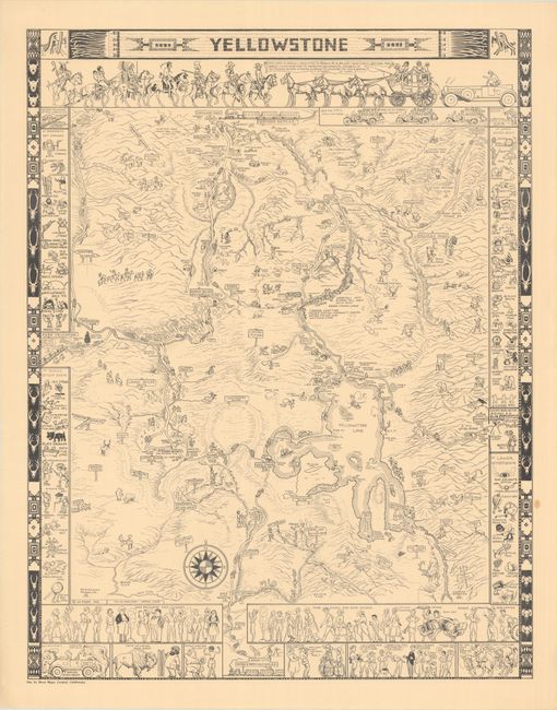
Auction 198, Lot 260
Subject: Yellowstone National Park, Wyoming
Mora, Joseph Jacinto
Yellowstone, 1931
Size: 20.1 x 25.8 inches (51.1 x 65.5 cm)
Estimate: $1,200 - $1,500
Original Printing of Jo Mora's Classic Pictorial Map of Yellowstone
Sold for: $850
Closed on 6/19/2024
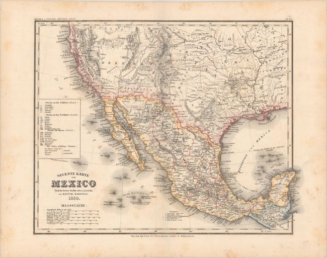
Auction 198, Lot 261
Subject: United States & Mexico
Radefeld, Carl Christian Franz
Neueste Karte von Mexico nach den Besten Quellen..., 1850
Size: 14.8 x 11.6 inches (37.6 x 29.5 cm)
Estimate: $750 - $900
Rare Map Showing The Proposed State of Deseret
Sold for: $500
Closed on 6/19/2024
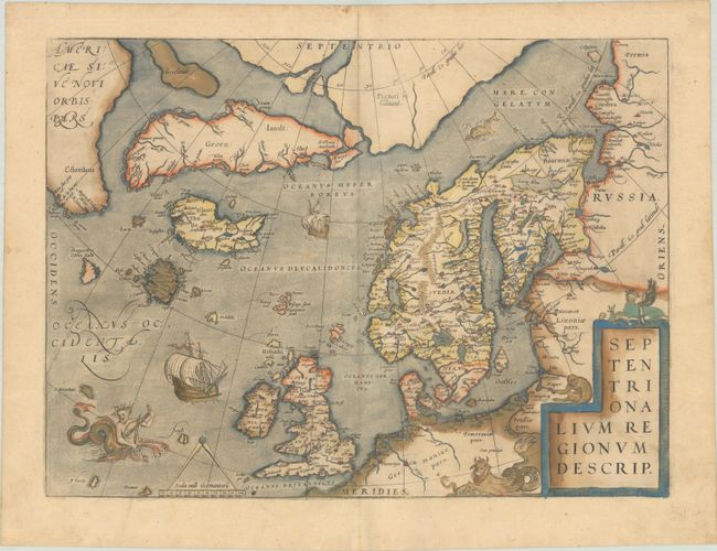
Auction 198, Lot 333
Subject: Arctic & Northern Europe
Ortelius, Abraham
Septentrionalium Regionum Descrip., 1579
Size: 19.4 x 14.3 inches (49.3 x 36.3 cm)
Estimate: $2,300 - $2,750
Early Example of Ortelius' Map of the Arctic with Mythical Islands in Contemporary Color
Sold for: $1,700
Closed on 6/19/2024
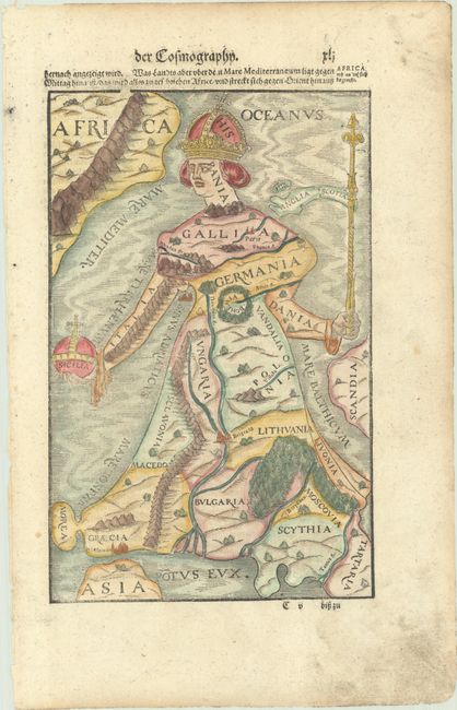
Auction 198, Lot 335
Subject: Europe
Munster, Sebastian
[Europa Regina], 1588
Size: 6.5 x 10.2 inches (16.5 x 25.9 cm)
Estimate: $1,000 - $1,300
Famous Cartographic Oddity of Europe in the Shape of a Woman
Sold for: $800
Closed on 6/19/2024
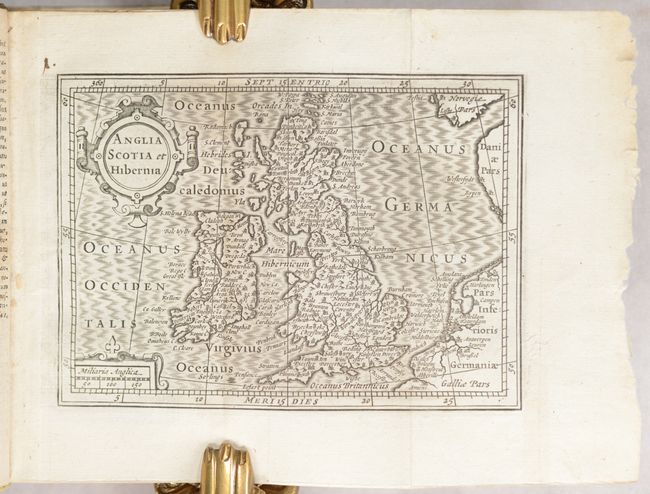
Auction 198, Lot 341
Subject: Britain
Camden, William
Guili. Camdeni Viri Clarissimi Britannia, sive Florentiss. Regnorum Angliae, Scotiae, Hiberniae, Insularumq Adiacentium ex Intima Antiquitate Descriptio..., 1639
Size: 3.2 x 5.6 inches (8.1 x 14.2 cm)
Estimate: $1,800 - $2,200
Miniature Version of Camden's Britannia Published by Blaeu
Sold for: $1,300
Closed on 6/19/2024
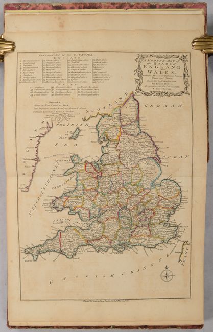
Auction 198, Lot 347
Subject: England & Wales, Atlases
Bowen, Thomas
Atlas Anglicanus, or a Complete Sett of Maps of the Counties of South Britain; Divided into Their Respective Hundreds, Wapentakes, Wards, Rapes, Lathes &c..., 1777
Size: 8.8 x 10.6 inches (22.4 x 26.9 cm)
Estimate: $2,000 - $2,750
Complete English County Atlas with 44 Maps
Sold for: $1,500
Closed on 6/19/2024
Auction 198, Lot 457
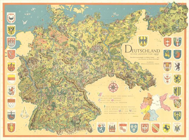
Subject: Germany
Deutschland in den Grenzen von 1937, 1955
Size: 45.8 x 33.6 inches (116.3 x 85.3 cm)
Estimate: $700 - $850
Post-War Persuasive Map Presenting 1937 Nazi Germany as a Vision for Reunification
Sold for: $350
Closed on 6/19/2024
Auction 198, Lot 518
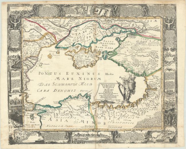
Subject: Black Sea
Haupt, Gottfried Jacob
Nova et Accurata Tartariae Europaeae seu Minores et in Specie Crimeae Delineatio Geographica..., 1740
Size: 26.8 x 22.1 inches (68.1 x 56.1 cm)
Estimate: $1,000 - $1,400
Rare, Decorative Map of the Black Sea and Surrounding Region
Sold for: $2,750
Closed on 6/19/2024
Auction 198, Lot 544
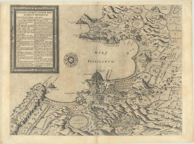
Subject: Southern Italy, Phlegraean Fields
Duchetti, Claudio
Explicatio Aliquot Locorum quae Puteolis Spectantur, 1586
Size: 20.1 x 15.3 inches (51.1 x 38.9 cm)
Estimate: $1,600 - $1,900
Rare, Early Archaeological Map of Phlegraean Fields
Unsold
Closed on 6/19/2024
Auction 198, Lot 547
Subject: Venice, Italy
Pianta di Venezia, 1876
Size: 21.7 x 26.7 inches (55.1 x 67.8 cm)
Estimate: $1,200 - $1,500
Intricately Detailed Map and Views Printed on Cloth
Unsold
Closed on 6/19/2024
Auction 198, Lot 559
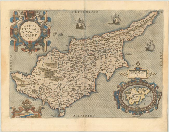
Subject: Cyprus
Ortelius, Abraham
Cypri Insulae Nova Descript., 1573
Size: 19.6 x 13.8 inches (49.8 x 35.1 cm)
Estimate: $1,400 - $1,700
Superb, Decorative Map of Cyprus
Sold for: $1,000
Closed on 6/19/2024
Auction 198, Lot 574
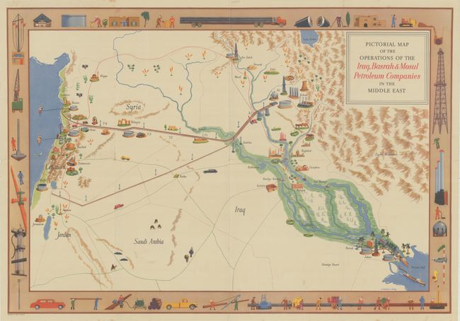
Subject: Middle East
Pictorial Map of the Operations of the Iraq, Basrah & Mosul Petroleum Companies in the Middle East, 1952
Size: 29.9 x 20.6 inches (75.9 x 52.3 cm)
Estimate: $1,200 - $1,500
Rare Pictorial Oil Map of the Fertile Crescent
Sold for: $600
Closed on 6/19/2024
Auction 198, Lot 591
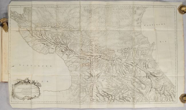
Subject: Caucasus
[Map Bound in 2 Volumes] Neue Carte des Caucasus Groestentheils aus Gueldenstaedts... [in] Reisen durch Russland und im Caucasischen Geburge..., 1787-91
Size: 9.5 x 7.5 inches (24.1 x 19.1 cm)
Estimate: $7,000 - $8,000
Rare and Important Study on the Caucasus with 27 Maps and Plates
Sold for: $5,000
Closed on 6/19/2024
Auction 198, Lot 592
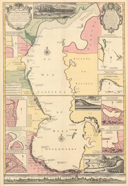
Subject: Caspian Sea
Ottens
[On 2 Sheets] Carte Marine de la Mer Caspiene Levee Suivant les Ordres de S.M. Czariene, par Mr. Carl Vanverden en 1719, 1720, et 1721..., 1723
Size: 23.5 x 17.9 inches (59.7 x 45.5 cm)
Estimate: $1,200 - $1,500
Superb Map of the Caspian Sea with Panoramic Views of the Region
Unsold
Closed on 6/19/2024
Auction 198, Lot 595
Subject: Asia
Hondius/Jansson
Asia Recens Summa Cura Delineata, 1632
Size: 22 x 16.2 inches (55.9 x 41.1 cm)
Estimate: $2,750 - $3,500
Jansson's Spectacular Carte-a-Figure Map of Asia
Unsold
Closed on 6/19/2024
Auction 198, Lot 608
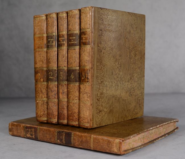
Subject: Russia in Asia
[5 Volumes & Atlas] Voyages de M.P.S. Pallas, en Differentes Provinces de l'Empire de Russie, et dans l'Asie Septentrionale [Tomes I-V]... [and] Voyages du Professeur Pallas ... Nouvelle Edition ... Tome Neuvieme, (Planches.), 1788-93
Size: See Description
Estimate: $3,500 - $4,250
Superb Work on 18th Century Russia with over 100 Maps and Plates
Unsold
Closed on 6/19/2024
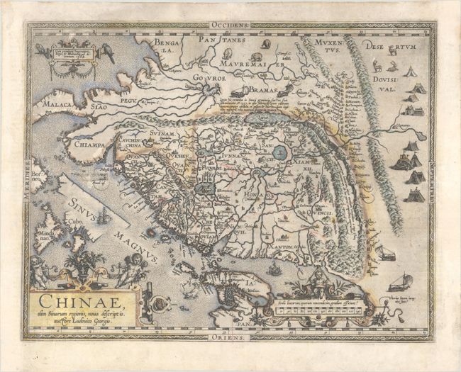
Auction 198, Lot 609
Subject: China
Ortelius, Abraham
Chinae, olim Sinarum Regionis, Nova Descriptio. Auctore Ludovico Georgio, 1584
Size: 18.6 x 14.4 inches (47.2 x 36.6 cm)
Estimate: $4,000 - $4,750
The First European-Printed Map of China
Sold for: $2,000
Closed on 6/19/2024
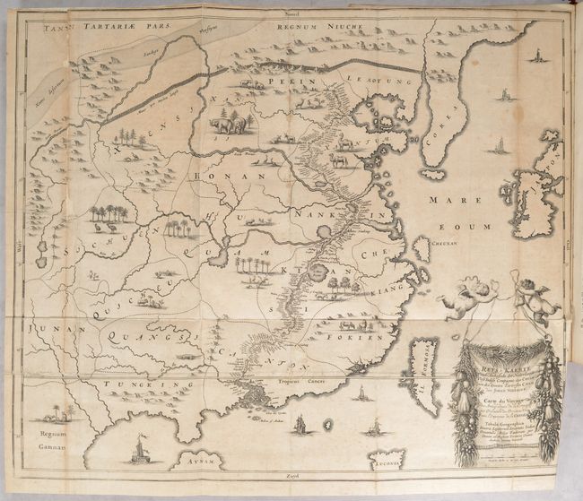
Auction 198, Lot 610
Subject: China
Nieuhoff, Johann
L'Ambassade de la Compagnie Orientale des Provinces Unies vers l'Empereur de la Chine, ou Grand Cam de Tartarie..., 1665
Size: 13.4 x 8.8 inches (34 x 22.4 cm)
Estimate: $2,750 - $3,500
Nieuhoff's Important Description of the Chinese Empire
Unsold
Closed on 6/19/2024
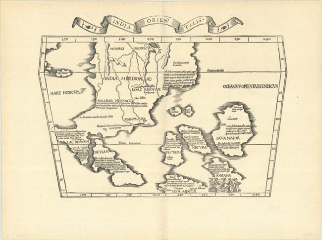
Auction 198, Lot 618
Subject: Southeast Asia
Ptolemy/Fries
India Orientalis, 1535
Size: 17 x 12.3 inches (43.2 x 31.2 cm)
Estimate: $2,400 - $3,000
First Printed Map to Focus on Indochina and the East Indies
Sold for: $1,700
Closed on 6/19/2024
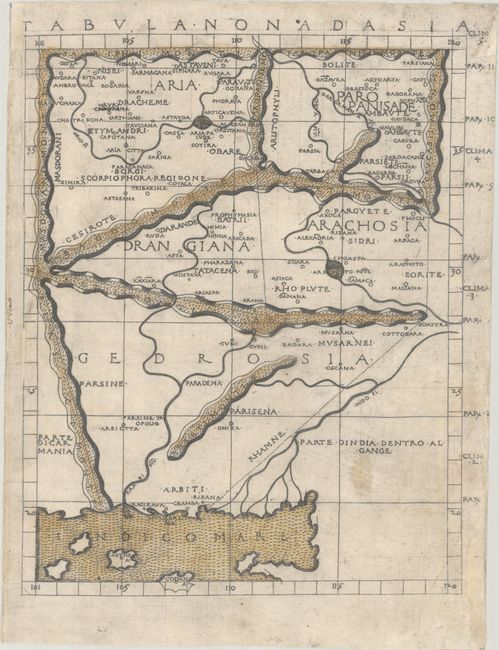
Auction 198, Lot 631
Subject: Pakistan & Afghanistan
Ptolemy/Berlinghieri
Tabula Nona d Asia, 1482
Size: 10.5 x 13.3 inches (26.7 x 33.8 cm)
Estimate: $1,900 - $2,200
One of the Earliest Printed Maps of Afghanistan & Pakistan
Sold for: $2,500
Closed on 6/19/2024
Auction 198, Lot 673
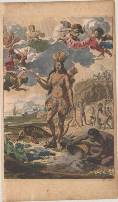
Subject: Frontispiece
Blaeu, Johannes
America, 1662
Size: 11.8 x 17.4 inches (30 x 44.2 cm)
Estimate: $4,000 - $4,750
Rare Frontispiece in Full Contemporary Color with Gilt Highlights
Sold for: $2,500
Closed on 6/19/2024
Auction 198, Lot 689
Subject: Prints - Politics
The United States Senate, A.D. 1850, 1855
Size: 33.9 x 27.3 inches (86.1 x 69.3 cm)
Estimate: $1,500 - $1,800
Proof Copy Engraving of the Senate Floor During the Compromise of 1850
Sold for: $750
Closed on 6/19/2024
Auction 198, Lot 706
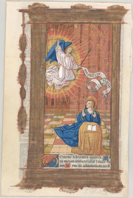
Subject: Early Printing
Hardouin, Gilles
[Book of Hours Leaf], 1518
Size: 4.6 x 7.1 inches (11.7 x 18 cm)
Estimate: $900 - $1,100
Superb Image of the Annunciation in Contemporary Hand Color with Gilt Highlights
Sold for: $650
Closed on 6/19/2024
Auction 198, Lot 717
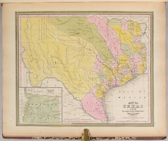
Subject: Atlases, Texas
Tanner, Henry Schenck
A New Universal Atlas Containing Maps of the Various Empires, Kingdoms, States and Republics of the World..., 1845
Size: 14.4 x 17.4 inches (36.6 x 44.2 cm)
Estimate: $4,000 - $4,750
Complete Tanner Atlas with Important Maps of the Republic of Texas & Iowa Territory
Sold for: $2,400
Closed on 6/19/2024
Auction 198, Lot 721
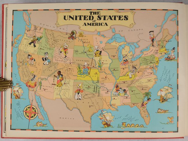
Subject: Atlases
White, Ruth Taylor
Our U.S.A. - A Gay Geography, 1935
Size: 13.2 x 9.6 inches (33.5 x 24.4 cm)
Estimate: $1,000 - $1,300
Ruth Taylor's First Edition Pictorial Atlas
Sold for: $1,200
Closed on 6/19/2024
48 lots


