Filtered by Category:United States(Show All Categories)
Showing results for:Auction 201
Catalog Archive
229 lots
Page 1 of 5
Auction 201, Lot 102
Subject: Colonial United States & Canada
Robert de Vaugondy/Diderot
Carte des Parties Nord et Ouest de l'Amerique Dressee d'Apres les Relations les Plus Authentiques par M... en 1764, 1772
Size: 14.7 x 11.5 inches (37.3 x 29.2 cm)
Estimate: $220 - $250
Sold for: $120
Closed on 11/20/2024
Auction 201, Lot 103
Subject: Colonial United States & Canada, Arctic
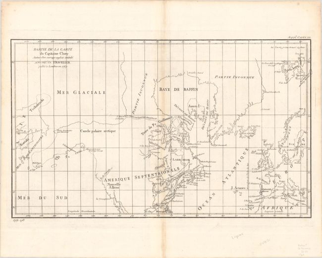
Robert de Vaugondy, Didier
Partie de la Carte du Capitaine Cluny Auteur d'un Ouvrage Anglois Intitule American Traveller, 1773
Size: 19.1 x 11.4 inches (48.5 x 29 cm)
Estimate: $110 - $140
Unsold
Closed on 11/20/2024
Auction 201, Lot 104
Subject: United States & Canada
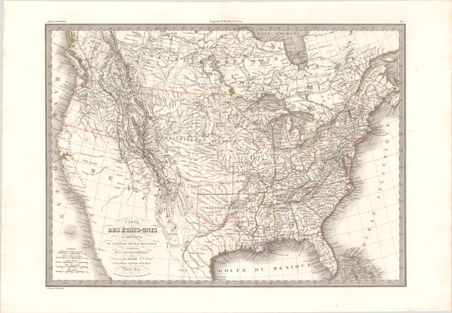
Lapie, Alexander Emile & Pierre
Carte des Etats-Unis d'Amerique, du Canada, du Nouveau Brunswick et d'une Partie de la Nouvelle Bretagne, 1832
Size: 21.3 x 15.5 inches (54.1 x 39.4 cm)
Estimate: $300 - $375
Sold for: $175
Closed on 11/20/2024
Auction 201, Lot 105
Subject: Colonial Eastern United States & Canada
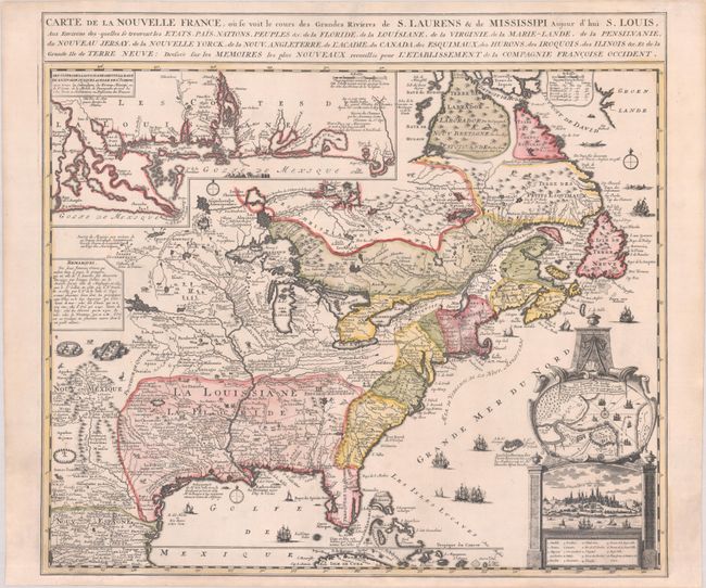
Fer, Nicolas de
Carte de la Nouvelle France, ou se Voit le Cours des Grandes Rivieres de S. Laurens & de Mississipi Aujour d'hui S. Louis, aux Environs des-quelles se Trouvent les Etats, Pais, Nations, Peuples, &c. de la Floride, de la Louisiane, de la Virginie..., 1720
Size: 21.9 x 19.8 inches (55.6 x 50.3 cm)
Estimate: $2,750 - $3,500
Striking Map of French Colonial Possessions
Unsold
Closed on 11/20/2024
Auction 201, Lot 106
Subject: Colonial Eastern United States & Canada
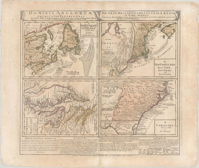
Homann Heirs
Dominia Anglorum in America Septentrionali... / Die Gros-Britannische Colonie-Laender, in Nord-America..., 1730
Size: 21.7 x 19.8 inches (55.1 x 50.3 cm)
Estimate: $475 - $600
Sold for: $350
Closed on 11/20/2024
Auction 201, Lot 107
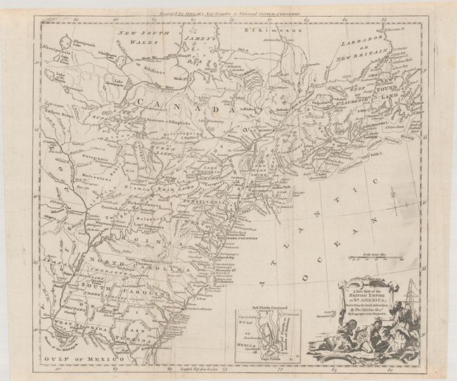
Subject: Colonial Eastern United States & Canada
Kitchin, Thomas
A New Map of the British Empire in Nth. America, Drawn from the Latest Authorities, 1782
Size: 14.6 x 13.3 inches (37.1 x 33.8 cm)
Estimate: $600 - $750
Sold for: $375
Closed on 11/20/2024
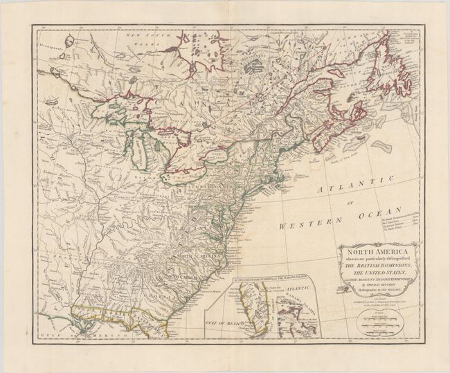
Auction 201, Lot 108
Subject: Eastern United States & Canada
Kitchin, Thomas
North America Wherein Are Particularly Distinguished the British Dominions, the United States, and the Adjacent Spanish Territories, 1794
Size: 21.4 x 17.4 inches (54.4 x 44.2 cm)
Estimate: $1,600 - $1,900
Unsold
Closed on 11/20/2024
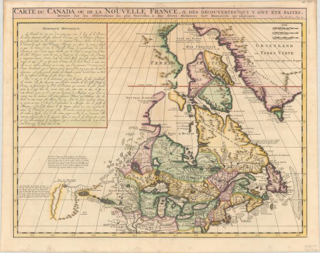
Auction 201, Lot 109
Subject: Colonial Northeastern United States & Canada
Chatelain, Henry Abraham
Carte du Canada ou de la Nouvelle France, & des Decouvertes qui y ont ete Faites, Dressee sur les Observations les Plus Nouvelles, & sur Divers Memoires tant Manuscrits qu' Imprimez, 1720
Size: 20.3 x 15.9 inches (51.6 x 40.4 cm)
Estimate: $600 - $750
Unsold
Closed on 11/20/2024
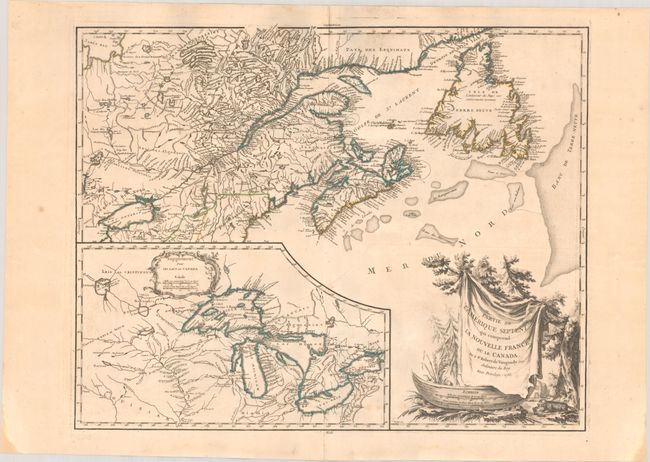
Auction 201, Lot 110
Subject: Colonial Northeastern United States & Canada, Great Lakes
Robert de Vaugondy, Didier
Partie de l'Amerique Septent? qui Comprend la Nouvelle France ou le Canada, 1755
Size: 23.9 x 19 inches (60.7 x 48.3 cm)
Estimate: $475 - $600
Unsold
Closed on 11/20/2024
Auction 201, Lot 111
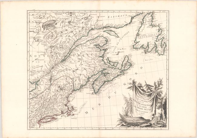
Subject: Colonial Northeastern United States & Canada
D'Anville/Santini
Partie Orientale du Canada, avec la Nouvelle Angleterre l'Acadie, et la Terre-Neuve, 1776
Size: 22.7 x 19.2 inches (57.7 x 48.8 cm)
Estimate: $475 - $600
Unsold
Closed on 11/20/2024
Auction 201, Lot 112
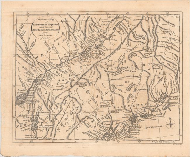
Subject: Colonial Northeastern United States & Canada
Lodge, John
An Exact Map of the Province of Quebec, with Part of New York & New England, from the Latest Surveys, 1778
Size: 10.6 x 8.2 inches (26.9 x 20.8 cm)
Estimate: $200 - $230
Sold for: $150
Closed on 11/20/2024
Auction 201, Lot 113
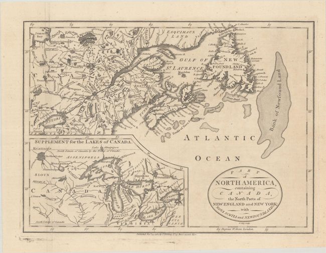
Subject: Colonial Northeastern United States & Canada, Great Lakes
Cary, John
Part of North America, Containing Canada, the North Parts of New England and New York; with Nova Scotia and Newfoundland, 1781
Size: 11.3 x 8.3 inches (28.7 x 21.1 cm)
Estimate: $190 - $220
Unsold
Closed on 11/20/2024
Auction 201, Lot 114
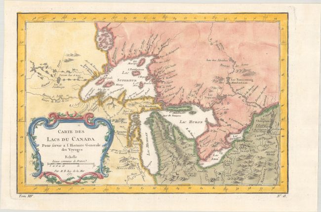
Subject: Colonial Great Lakes
Bellin, Jacques Nicolas
Carte des Lacs du Canada pour Servir a l'Histoire Generale des Voyages, 1757
Size: 11.4 x 7.7 inches (29 x 19.6 cm)
Estimate: $450 - $550
Sold for: $325
Closed on 11/20/2024
Auction 201, Lot 115
Subject: Colonial Great Lakes, Florida
Zatta, Antonio
Il Paese de' Selvaggi Outauacesi, e Kilistinesi Intorno al Lago Superiore, 1778
Size: 16.7 x 12.1 inches (42.4 x 30.7 cm)
Estimate: $325 - $400
Sold for: $240
Closed on 11/20/2024
Auction 201, Lot 116
Subject: Northern United States & Canada
Russell, John C.
British Dominions, in North America, 1814
Size: 8.9 x 7 inches (22.6 x 17.8 cm)
Estimate: $120 - $150
Sold for: $75
Closed on 11/20/2024
Auction 201, Lot 117
Subject: Northern United States & Canada
Pinkerton, John
British Possessions in North America, 1818
Size: 27.5 x 19.9 inches (69.9 x 50.5 cm)
Estimate: $350 - $425
Unsold
Closed on 11/20/2024
Auction 201, Lot 118
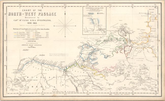
Subject: Canada & Alaska
Johnston, W. & A.K.
Chart of the North-West Passage Discovered by Capt. McClure H.M.S. Investigator, 1850-1853, 1855
Size: 20.5 x 12.2 inches (52.1 x 31 cm)
Estimate: $1,000 - $1,300
One of the First Maps to Depict the Northwest Passage and New Discoveries in the Arctic
Sold for: $2,200
Closed on 11/20/2024
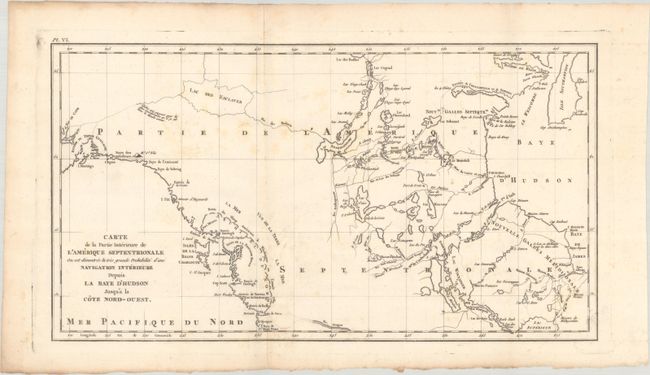
Auction 201, Lot 119
Subject: Western Canada & Alaska
Meares, John (Capt.)
Carte de la Partie Interieure de l'Amerique Septentrionale ou est Demontree la Tres Grande Probabilite d'une Navigation Interieure Depuis la Baye d'Hudson Jusqu'a la Cote Nord-Ouest, 1795
Size: 18 x 9.8 inches (45.7 x 24.9 cm)
Estimate: $450 - $550
Scarce Map Showing Capt. John Meares' Conception of the Northwest Passage and Sea of the West
Sold for: $325
Closed on 11/20/2024
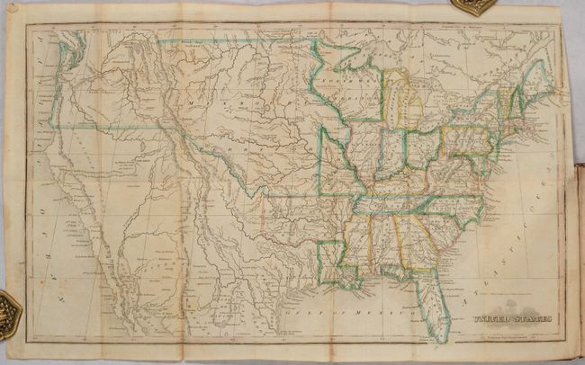
Auction 201, Lot 120
Subject: United States
Morse, Jedidiah (Rev.)
[Map in Book] United States [in] The Traveller's Guide; or Pocket Gazetteer of the United States..., 1826
Size: 17 x 10.3 inches (43.2 x 26.2 cm)
Estimate: $500 - $650
Sold for: $350
Closed on 11/20/2024
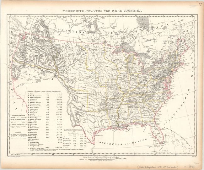
Auction 201, Lot 121
Subject: United States, Texas
Flemming, Carl
Vereinigte Staaten von Nord-America, 1844
Size: 16.3 x 12.2 inches (41.4 x 31 cm)
Estimate: $240 - $300
Sold for: $180
Closed on 11/20/2024
Auction 201, Lot 122
Subject: United States, Texas
Radefeld, Carl Christian Franz
Nord-Americanische Freistaaten, 1845
Size: 15.4 x 11.6 inches (39.1 x 29.5 cm)
Estimate: $200 - $230
Sold for: $150
Closed on 11/20/2024
Auction 201, Lot 123
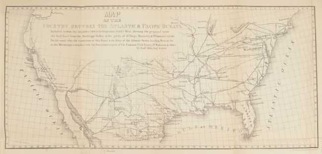
Subject: United States
Mills, Robert
[Map in Report] Map of the Country Between the Atlantic & Pacific Oceans, 1852
Size: 32.4 x 10.3 inches (82.3 x 26.2 cm)
Estimate: $140 - $170
Mills's Map and Proposal for a Transcontinental Railroad
Sold for: $220
Closed on 11/20/2024
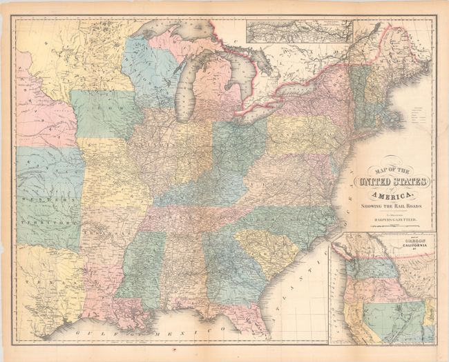
Auction 201, Lot 124
Subject: United States
Smith, J. Calvin
Map of the United States of America, Showing the Rail Roads to Illustrate Harper's Gazetteer, 1855
Size: 27 x 21 inches (68.6 x 53.3 cm)
Estimate: $200 - $230
Sold for: $150
Closed on 11/20/2024
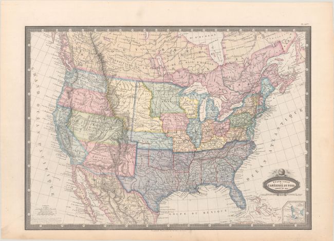
Auction 201, Lot 125
Subject: United States, Civil War
Garnier, Francis Marie Joseph
Etats-Unis de l'Amerique du Nord. Limites en 1860, 1860
Size: 19.8 x 14.1 inches (50.3 x 35.8 cm)
Estimate: $200 - $230
Early Civil War Map that Shows Deseret
Sold for: $180
Closed on 11/20/2024
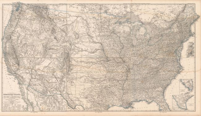
Auction 201, Lot 126
Subject: United States
Petermann, Augustus Herman
[On 6 Sheets] Die Vereinigten Staaten von Nord-Amerika in 6 Blattern, 1872-73
Size: 15.9 x 13.3 inches (40.4 x 33.8 cm)
Estimate: $200 - $230
Sold for: $150
Closed on 11/20/2024
Auction 201, Lot 127
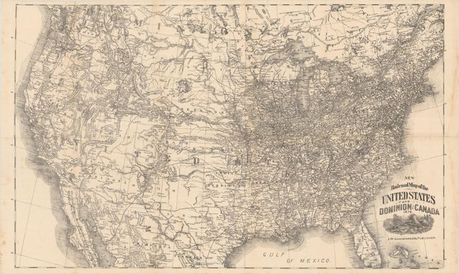
Subject: United States
New Railroad Map of the United States and Dominion of Canada, 1876
Size: 26.8 x 16.3 inches (68.1 x 41.4 cm)
Estimate: $160 - $190
Sold for: $150
Closed on 11/20/2024
Auction 201, Lot 128
Subject: United States
Map of the United States Showing Farm Animals in Each State, 1881
Size: 11.3 x 8.3 inches (28.7 x 21.1 cm)
Estimate: $200 - $230
Rare Late 19th-Century Livestock Population Map
Sold for: $550
Closed on 11/20/2024
Auction 201, Lot 129
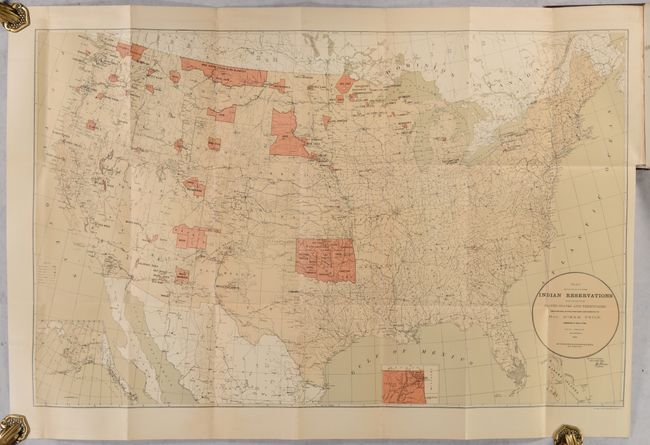
Subject: United States
U.S. Bureau of Indian Affairs
[Map in Book] Map Showing the Location of the Indian Reservations Within the Limits of the United States and Territories... [in] Annual Report of the Commissioner of Indian Affairs to the Secretary of the Interior for the Year 1884, 1884
Size: 33.1 x 21.1 inches (84.1 x 53.6 cm)
Estimate: $220 - $250
Sold for: $110
Closed on 11/20/2024
Auction 201, Lot 130
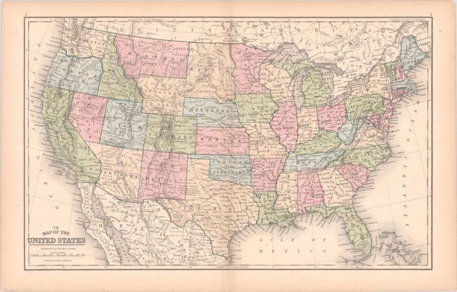
Subject: United States
Mitchell, Samuel Augustus
VII Map of the United States, 1889
Size: 17.3 x 10.8 inches (43.9 x 27.4 cm)
Estimate: $90 - $120
NO RESERVE
Sold for: $75
Closed on 11/20/2024
Auction 201, Lot 131
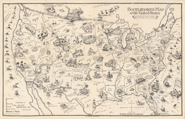
Subject: United States
Bootlegger's Map of the United States, 1926
Size: 34.1 x 21.5 inches (86.6 x 54.6 cm)
Estimate: $1,200 - $1,500
McCandlish's Humorous Prohibition Map
Sold for: $750
Closed on 11/20/2024
Auction 201, Lot 132
Subject: United States, Aviation
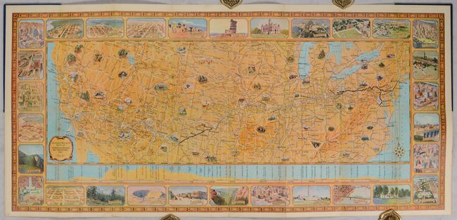
Rand McNally & Co.
Illustrated Map of the Route of Transcontinental Air Transport Inc., 1929
Size: 30.9 x 14.1 inches (78.5 x 35.8 cm)
Estimate: $1,100 - $1,400
One of the Earliest Commercial Airline Maps
Sold for: $800
Closed on 11/20/2024
Auction 201, Lot 133
Subject: United States
Indians of the U.S.A, 1944
Size: 33.3 x 21 inches (84.6 x 53.3 cm)
Estimate: $300 - $375
Sold for: $375
Closed on 11/20/2024
Auction 201, Lot 134
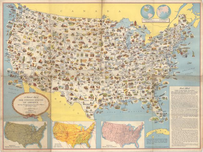
Subject: United States
A Pictorial Map of the United States of America Showing Principal Regional Resources, Products, and Natural Features, 1950
Size: 31.2 x 23.2 inches (79.2 x 58.9 cm)
Estimate: $90 - $120
NO RESERVE
Sold for: $95
Closed on 11/20/2024
Auction 201, Lot 135
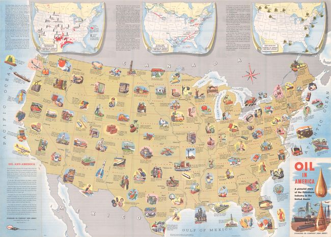
Subject: United States, Oil
Oil in America - A Pictorial Story of the Petroleum Industry in the United States, 1957
Size: 33.4 x 24 inches (84.8 x 61 cm)
Estimate: $180 - $220
Sold for: $210
Closed on 11/20/2024
Auction 201, Lot 136
Subject: United States
Folklore and Legends of Our Country, 1962
Size: 33.5 x 22.8 inches (85.1 x 57.9 cm)
Estimate: $150 - $180
Sold for: $100
Closed on 11/20/2024
Auction 201, Lot 137
Subject: Eastern United States
La Harpe, Jean Francis de
Carta della Florida, Luigiana e Laghi del Canada, 1780
Size: 6.8 x 9.8 inches (17.3 x 24.9 cm)
Estimate: $140 - $170
Sold for: $100
Closed on 11/20/2024
Auction 201, Lot 138
Subject: Eastern United States
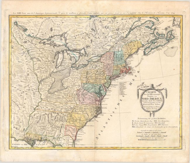
Gussefeld/Homann Heirs
Charte uber die XIII Vereinigte Staaten von Nord-America..., 1784
Size: 22.8 x 17.7 inches (57.9 x 45 cm)
Estimate: $600 - $750
Sold for: $300
Closed on 11/20/2024
Auction 201, Lot 139
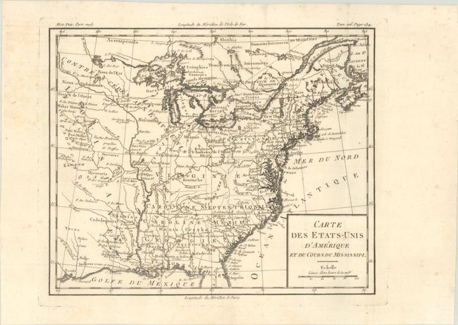
Subject: Eastern United States, Franklin
Brion de la Tour, Louis
Carte des Etats-Unis d'Amerique et du Cours du Mississipi, 1788
Size: 10.6 x 8.7 inches (26.9 x 22.1 cm)
Estimate: $900 - $1,100
Shows the State of Franklin
Unsold
Closed on 11/20/2024
Auction 201, Lot 140
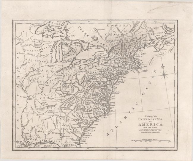
Subject: Eastern United States
A Map of the United States of America, with Part of the Adjoining Provinces from the Latest Authorities, 1800
Size: 10.8 x 8.6 inches (27.4 x 21.8 cm)
Estimate: $140 - $170
Sold for: $90
Closed on 11/20/2024
Auction 201, Lot 141
Subject: Eastern United States
Melish, John
[Map in Book] Map of the United States of America [in] Travels in the United States of America, in the Years 1806 & 1807, and 1809, 1810, & 1811... [Volume 1 Only], 1812
Size: 17.4 x 13.3 inches (44.2 x 33.8 cm)
Estimate: $900 - $1,100
First Edition
Sold for: $500
Closed on 11/20/2024
Auction 201, Lot 142
Subject: Eastern United States
[Map in Book] Map of Part of the United States of North America, with the Territory of the Illinois on the Ohio, Particularly Designed to Illustrate Birkbeck's Journey [in] Notes on a Journey in America..., 1818
Size: 15.8 x 11.9 inches (40.1 x 30.2 cm)
Estimate: $550 - $700
Unsold
Closed on 11/20/2024
Auction 201, Lot 143
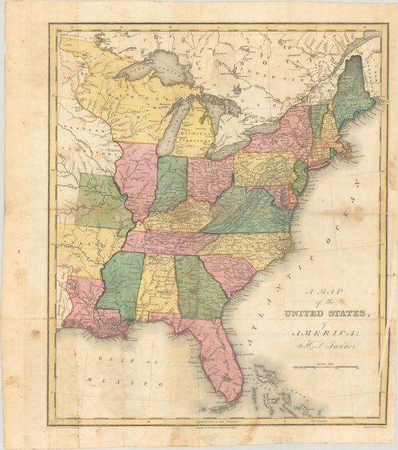
Subject: Eastern United States
Tanner, Henry Schenck
A Map of the United States, of America, 1823
Size: 12.9 x 15.2 inches (32.8 x 38.6 cm)
Estimate: $300 - $375
Sold for: $220
Closed on 11/20/2024
Auction 201, Lot 144
Subject: Eastern United States
Marshall, John
Atlas to Marshall's Life of Washington, 1832
Size: 5.8 x 8.8 inches (14.7 x 22.4 cm)
Estimate: $400 - $475
Sold for: $425
Closed on 11/20/2024
Auction 201, Lot 145
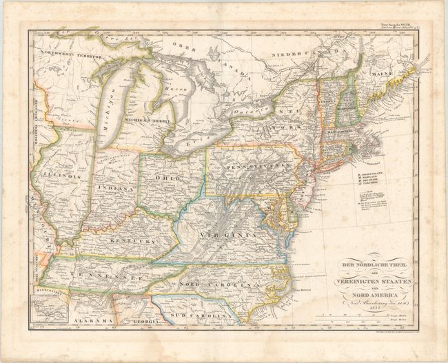
Subject: Eastern United States
Stieler, Adolph
Der Nordliche Theil der Vereinigten Staaten von Nord America, 1832
Size: 16.3 x 12.3 inches (41.4 x 31.2 cm)
Estimate: $130 - $160
Sold for: $90
Closed on 11/20/2024
Auction 201, Lot 146
Subject: Eastern United States, Franklin
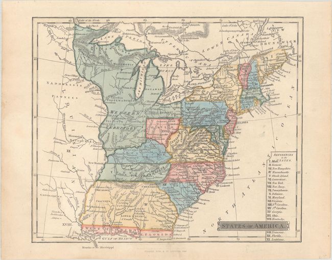
Fisher & Sons
States of America, 1840
Size: 8.7 x 7.3 inches (22.1 x 18.5 cm)
Estimate: $600 - $750
Shows "Franklinia"
Unsold
Closed on 11/20/2024
Auction 201, Lot 147
Subject: Eastern United States
Mitchell/Young
Map of the United States, 1841
Size: 34.8 x 43.5 inches (88.4 x 110.5 cm)
Estimate: $1,000 - $1,300
Unsold
Closed on 11/20/2024
Auction 201, Lot 148
Subject: Eastern United States, Texas
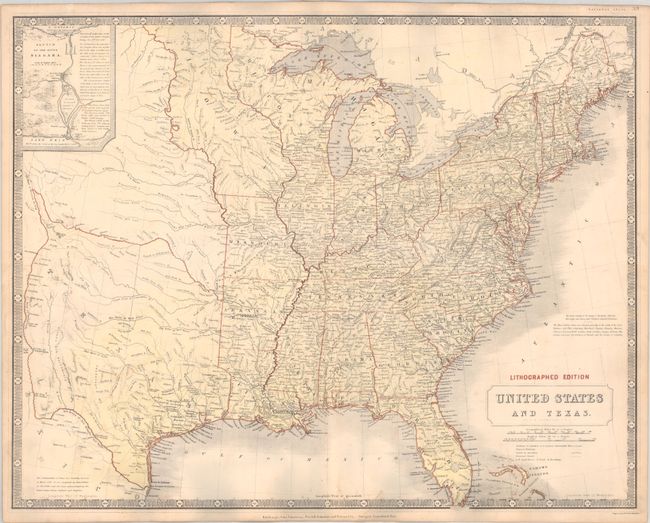
Johnston, Alexander K.
United States and Texas, 1844
Size: 24.9 x 19.7 inches (63.2 x 50 cm)
Estimate: $1,200 - $1,500
Sold for: $600
Closed on 11/20/2024
Auction 201, Lot 149
Subject: Eastern United States
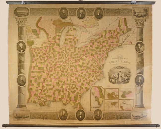
Chapin & Taylor
Chapin's Ornamental Map of the United States with Plans of the World, British Possessions, West Indies & Colombia, 1845
Size: 56.4 x 47.5 inches (143.3 x 120.7 cm)
Estimate: $1,800 - $2,200
Decorative Wall Map of the Eastern United States
Sold for: $1,300
Closed on 11/20/2024
Auction 201, Lot 150
Subject: Eastern United States
Williams, Wellington
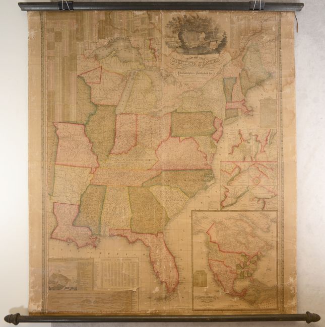
A New Map of the United States. Upon Which Are Delineated Its Vast Works of Internal Communication, Routes Across the Continent &c. Showing Also Canada and the Island of Cuba, 1854
Size: 29.3 x 24.3 inches (74.4 x 61.7 cm)
Estimate: $375 - $450
Sold for: $275
Closed on 11/20/2024
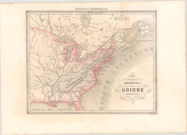
Auction 201, Lot 151
Subject: Eastern United States
Marmocchi, Francesco
Stati Orientali della Unione Americana, 1858
Size: 13.6 x 10.8 inches (34.5 x 27.4 cm)
Estimate: $120 - $150
Unsold
Closed on 11/20/2024
229 lots
Page 1 of 5


